
Having a day off on Friday the 11th of September 2026, Col and I had been looking at options for a day walk. Unfortunately, the weather forecast wasn’t particularly favourable across much of Tasmania, especially in the mountains of the south and southwest.
After considering a few alternatives, we settled on Mt Sprent, near Strathgordon. At 1,059 metres, it isn’t an Abel, but it promised spectacular views over Lake Pedder and the surrounding southwest wilderness. It was also an achievable day walk within driving distance of Hobart, and the weather forecast looked better than some of the other options we’d considered. There were still some strong wind gusts forecast, but otherwise the conditions looked reasonably good, so we decided to give it a go.
The walk turned out to be a little more challenging than its relatively short distance might suggest, particularly given the steepness of the initial climb and the very wet state of the track. I’d also made the mistake of wearing trail runners rather than hiking boots, a decision I came to regret fairly early in the walk!
Location
Mt Sprent is located in Southwest National Park, near Strathgordon, approximately 160 kilometres west of Hobart.
The walk starts at Serpentine Dam, which forms part of the Lake Pedder hydroelectric scheme. To reach the starting point, we followed Gordon River Road through Strathgordon, turning off towards Serpentine Dam before reaching Gordon Dam.
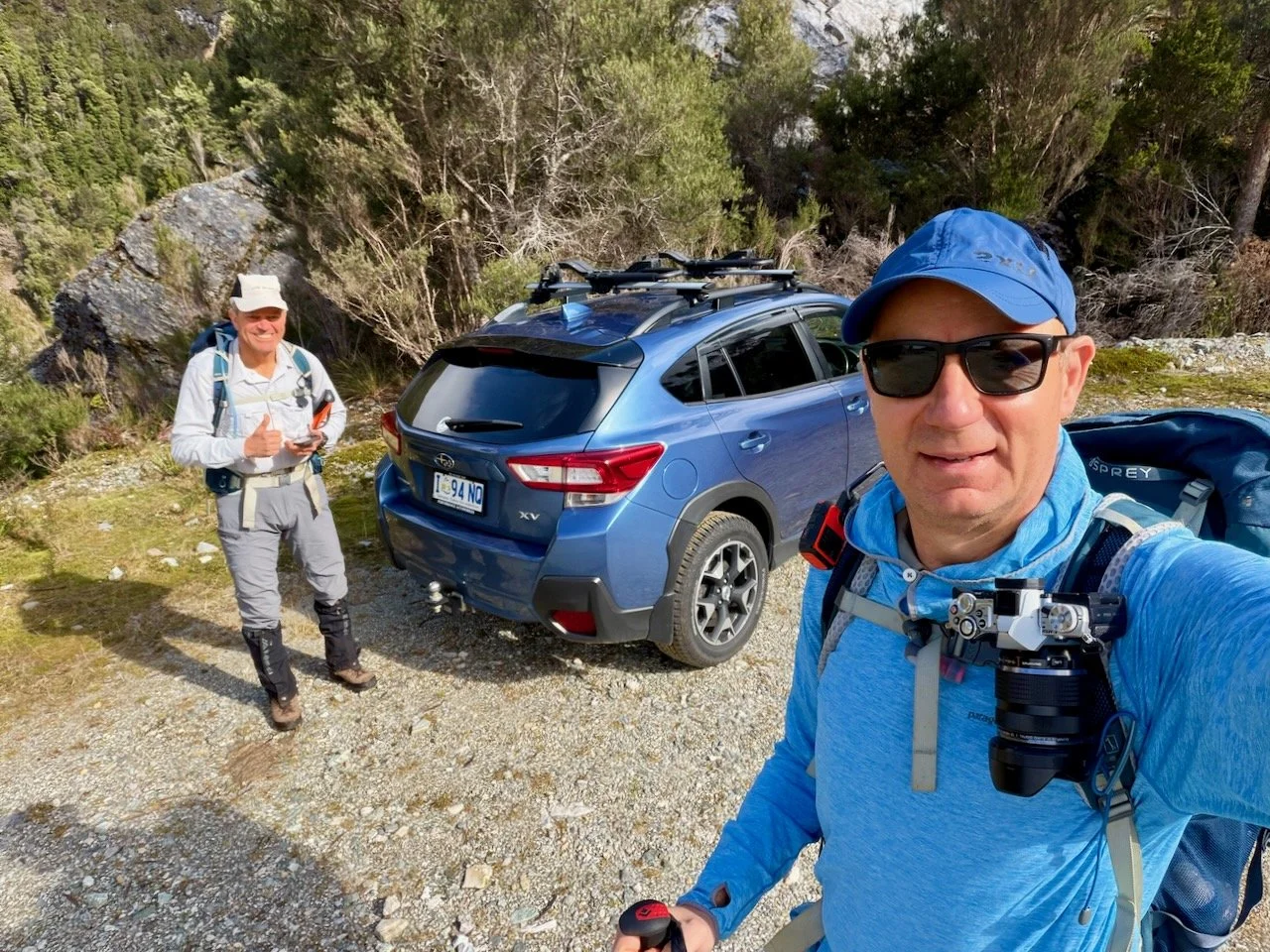
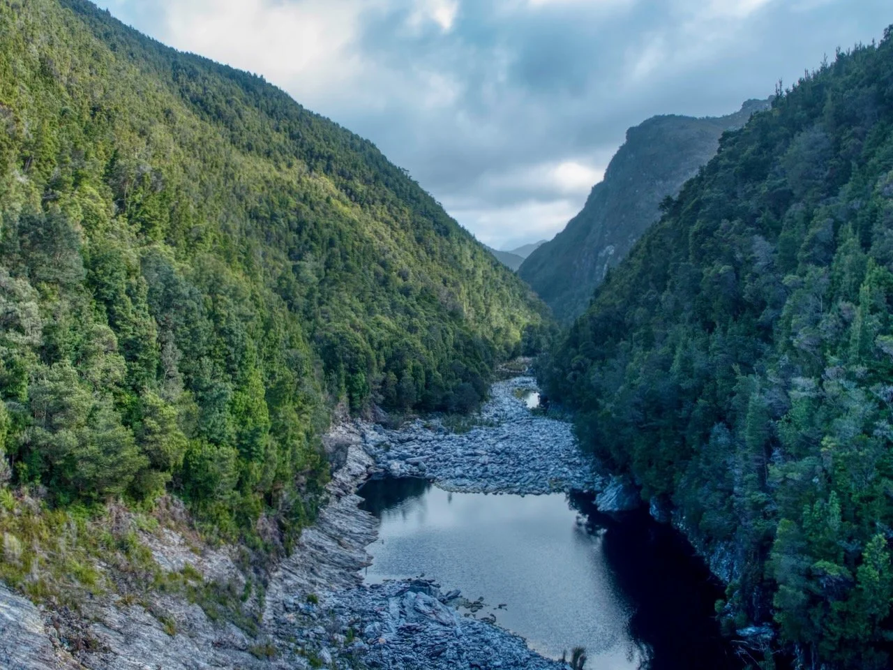
We arrived at the dam shortly before 10 am and, after getting ourselves organised, began the walk by crossing the Serpentine Dam wall, which provides some impressive views of the surrounding landscape. On one side is Lake Pedder, while on the other the Serpentine River winds through a steep, forested gorge. Looking downstream, the river passes between densely forested mountainsides, with exposed rock and large boulders lining the riverbed.
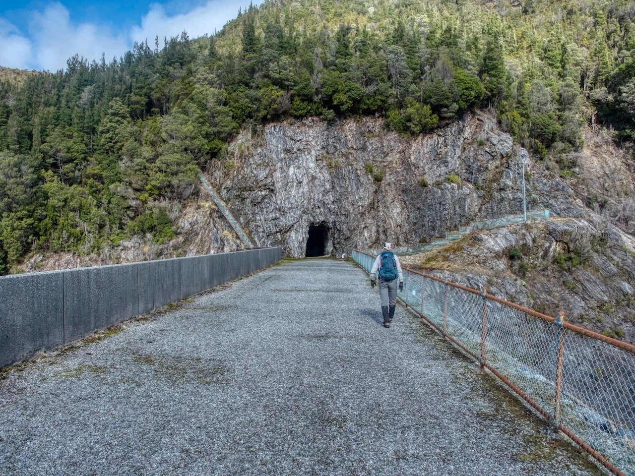
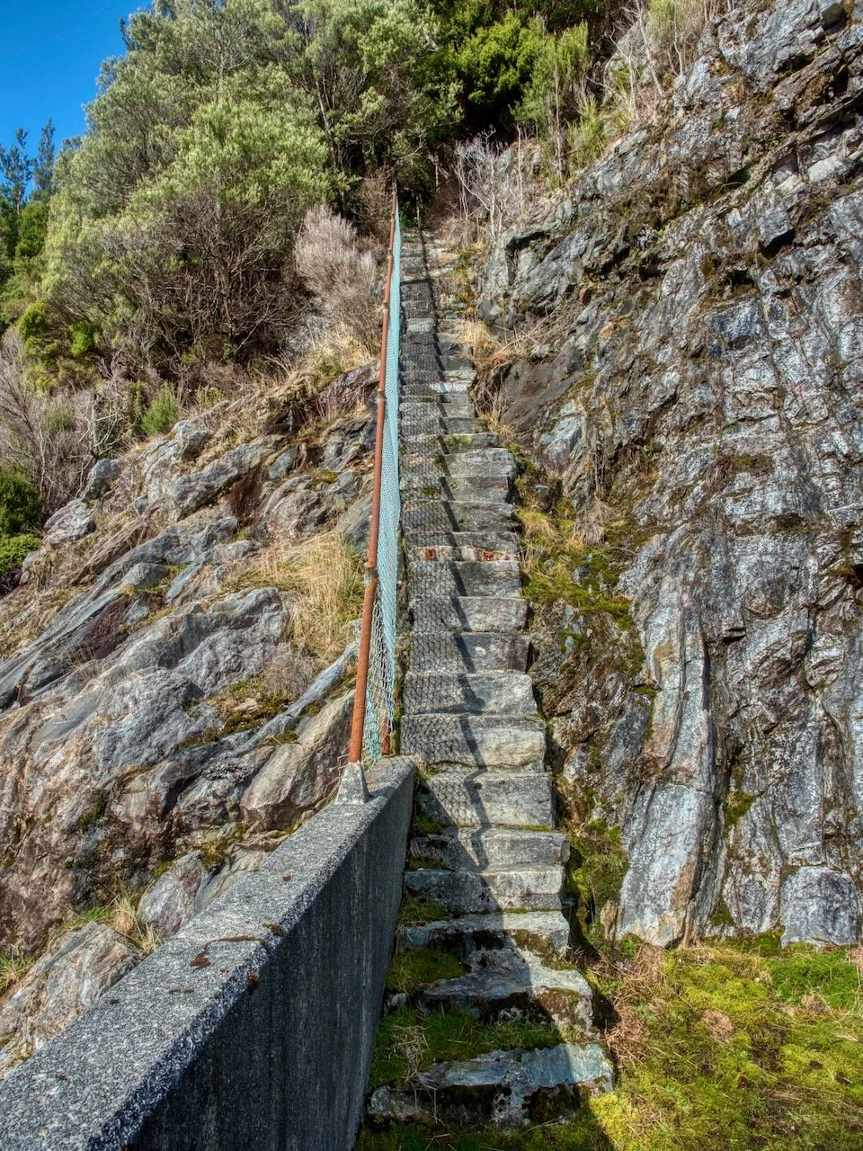
At the far end of the dam wall, the track passes a tunnel entrance before climbing a steep stone staircase built into the rocky hillside. The staircase is quite narrow, with a wire fence and handrail along one side. It is an unusual way to begin a bushwalk, and the steep steps provide a fairly good indication of what lies ahead.
The Track
After climbing the stone staircase, we entered the forest and almost immediately began a steep ascent. The first kilometre beyond the dam was particularly demanding, with the track climbing approximately 285 metres over that distance.
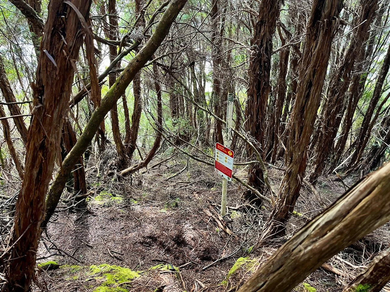
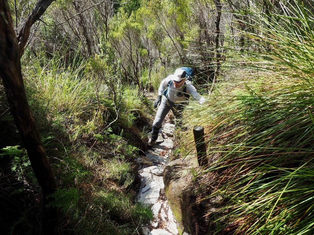
The initial section passes through fairly dense forest, with the track winding between trees and thick undergrowth. In places, there are a few steep embankments that need to be climbed. The track is reasonably well defined, but it’s certainly not a formed walking track. Much of the route consists of a narrow, deeply eroded channel, with exposed roots and rocks forming irregular steps.
There had obviously been plenty of rain, and the ground was extremely wet. Water flowed down sections of the track and the combination of mud, wet roots and slippery rocks made for fairly slow progress.
Unfortunately, I’d decided to wear trail runners rather than my usual hiking boots. My thinking had been the lighter shoes would be better suited for the uphill of the walk. That turned out to be a mistake! With so much water on the track, it wasn’t long before my shoes were completely soaked through. I spent the remainder of the walk with wet feet.
As we continued climbing, the forest gradually began to thin, and we started getting occasional glimpses of Lake Pedder through the trees.
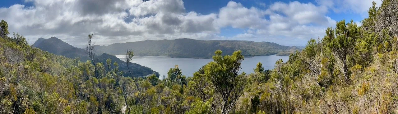
After the steep first kilometre, the gradient eased slightly in places, although there was still plenty of climbing ahead. By this stage, we’d gained almost 300 metres in elevation, but were still well below the summit.
The next section continued through scrub, with the track remaining narrow and rough. The climb was still quite steep in places, and there were occasional sections where we needed to scramble up rocky steps.
As we gained elevation, the scrub gradually gave way to lower vegetation, and the views began opening up. This was a welcome change, and we were increasingly able to appreciate the surrounding landscape. Looking back, Lakes Pedder and Gordon stretched out below us, with its numerous bays and islands surrounded by the mountains of Tasmania’s southwest.
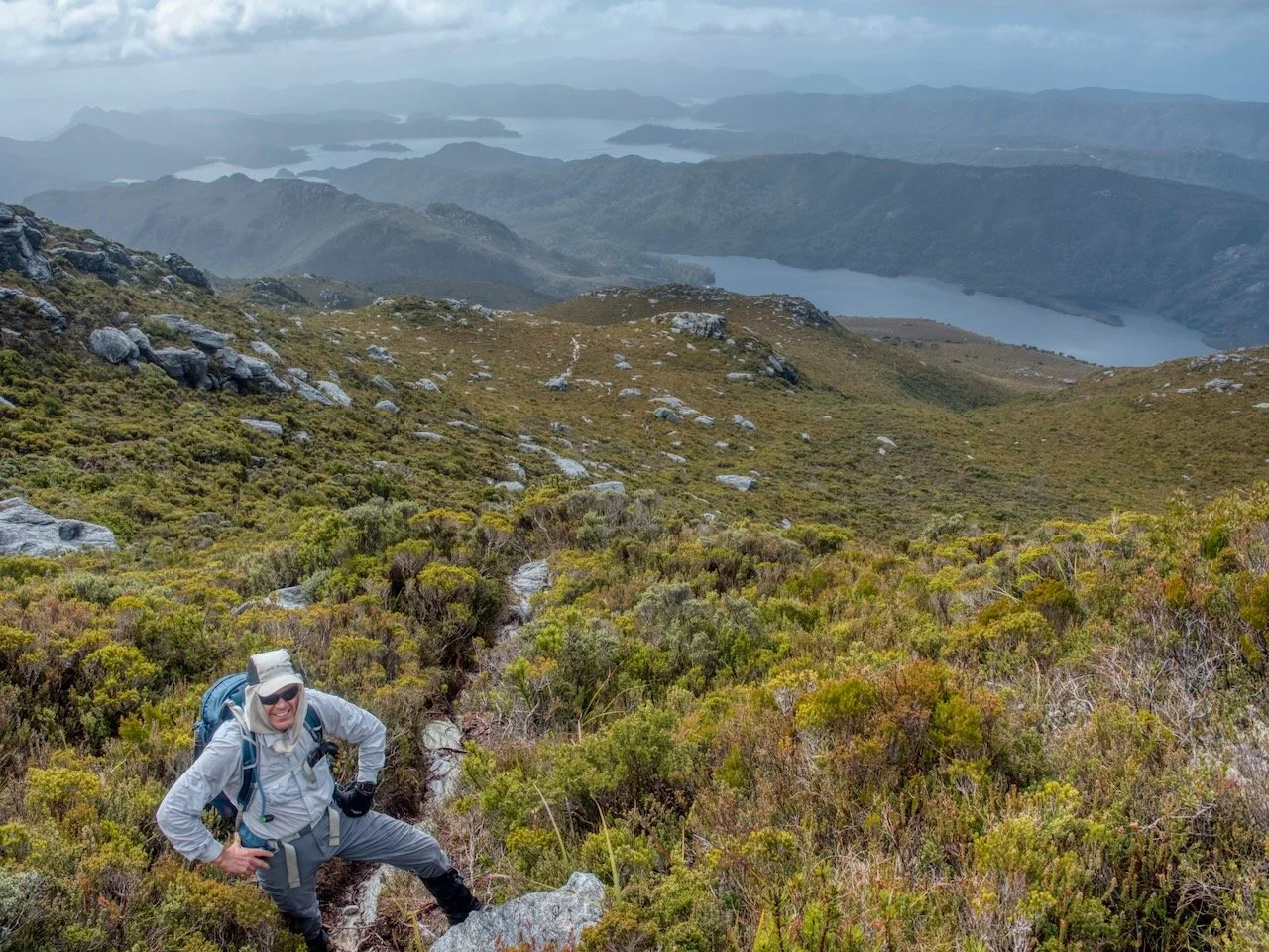
The weather was reasonably good, with a mixture of sunshine and cloud.
By the time we’d walked approximately 2.5 kilometres, we’d climbed to around 920 metres above sea level. At this point, the nature of the walk changed considerably. The steep climb eased, and we emerged onto more open alpine moorland, with low heath and buttongrass replacing the taller vegetation we’d been walking through.
The track became a narrow, pale-coloured line winding through the low vegetation, with occasional exposed rock and patches of gravel. This section was much less strenuous than the climb through the forest, with relatively little elevation gained over the next 500 metres or so. It was a pleasant change to be walking across more open country, particularly with the expansive views over Lake Pedder.
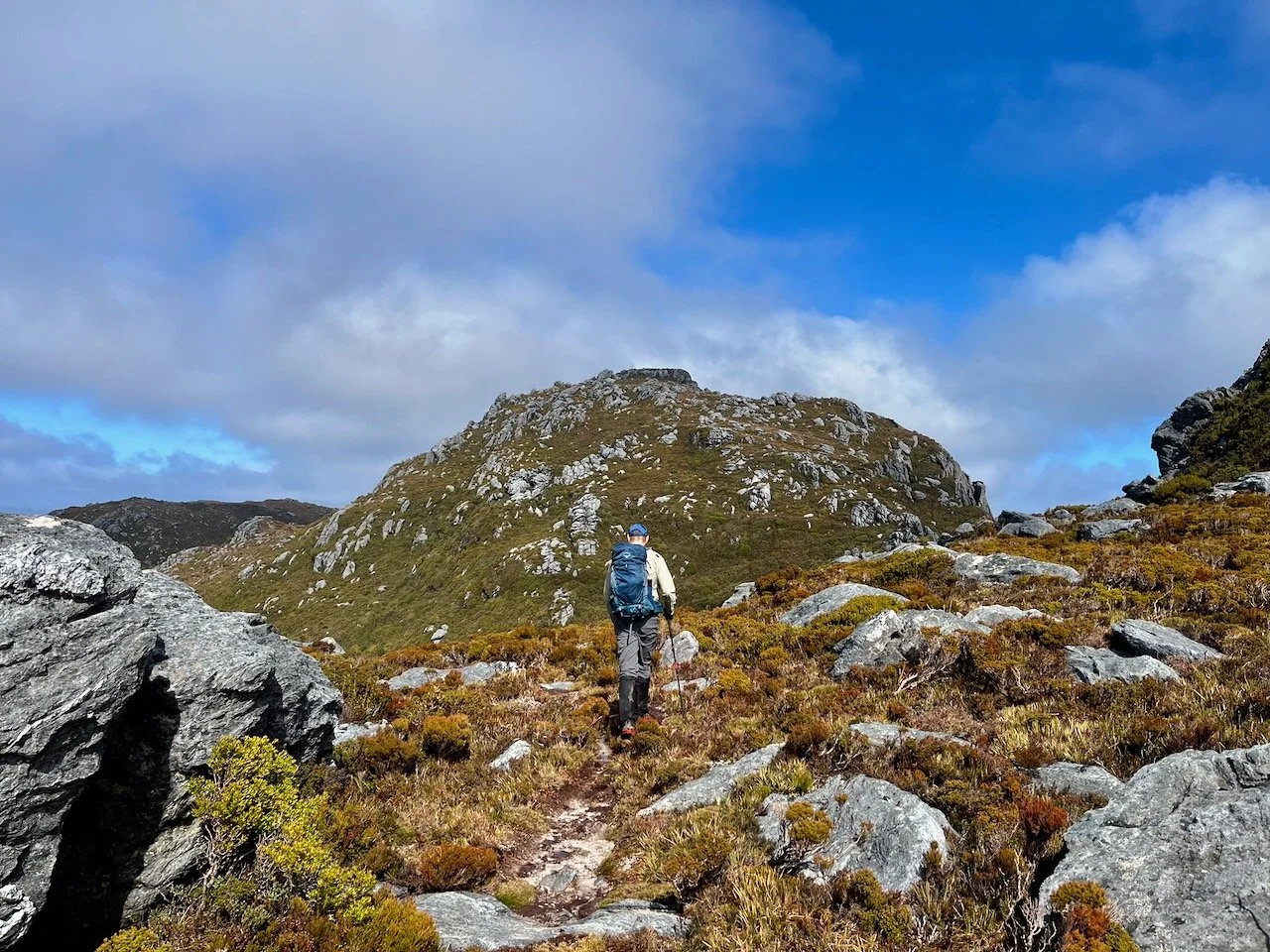
The landscape was quite different from the forest we’d climbed through earlier, with broad open slopes, scattered rocky outcrops and low vegetation stretching towards the summit. From here, we could also get a better appreciation of the mountain itself.
Rather than a single steep climb, the upper section consisted of more gently undulating terrain before the final ascent towards the rocky summit.
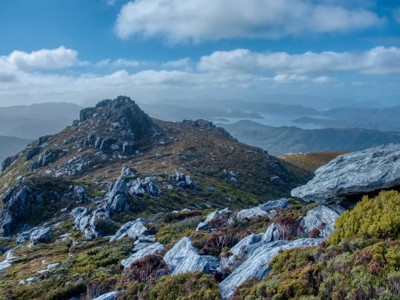
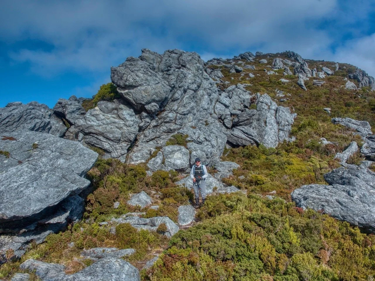
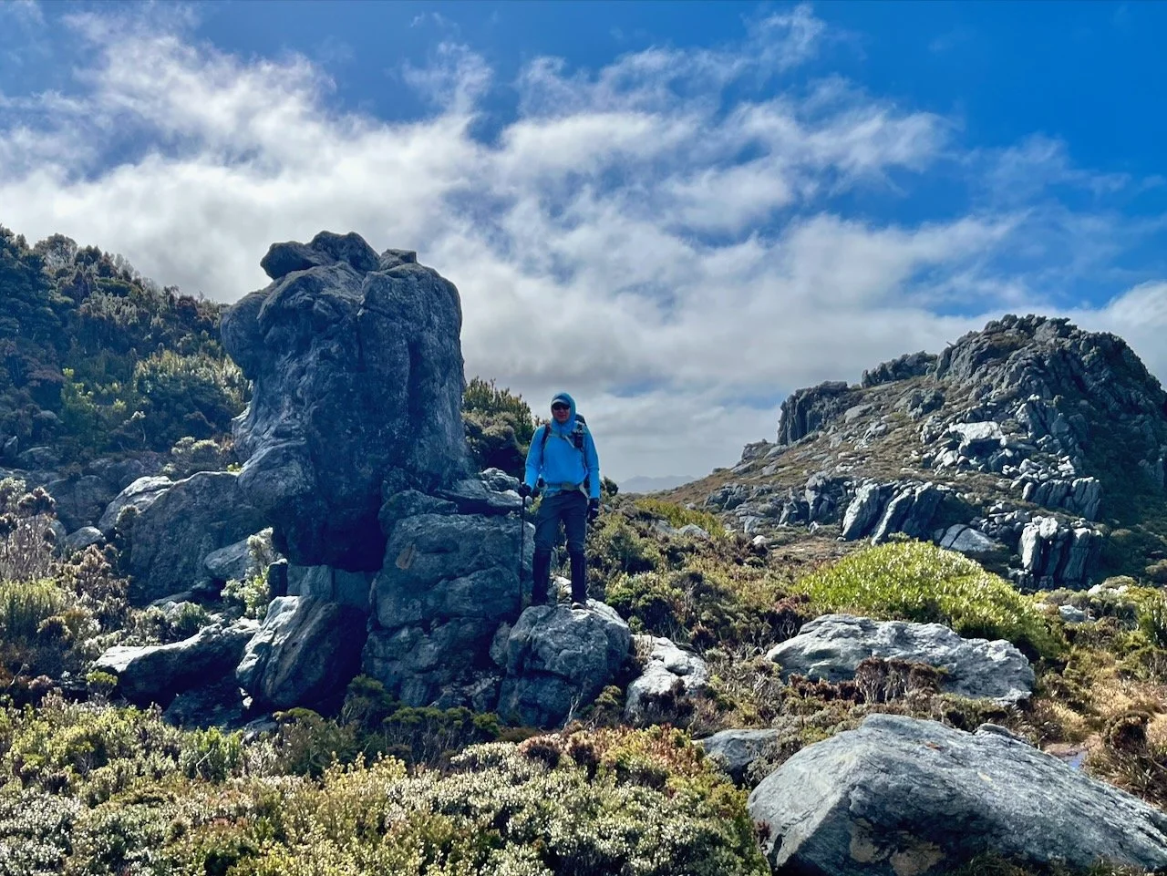
After crossing the relatively level moorland, the track began climbing again. Over the final 600 metres or so, we gained another 120 metres in elevation as the track wound through low alpine vegetation and increasingly rocky terrain. The vegetation became progressively lower, and the route passed between large outcrops of grey, weathered rock.
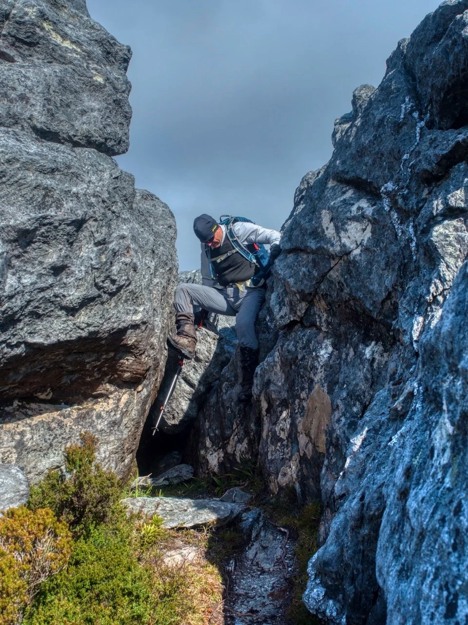
Some of these formations were quite impressive, with the track threading through narrow gaps between large boulders. There was a little scrambling involved, although nothing particularly difficult. The exposed rock also provided a welcome break from the muddy sections we’d encountered lower down.
As we approached the summit, the views continued to improve, with Lake Pedder and the surrounding mountains stretching out behind us.
The wind was quite strong at times on the summit ridge, but the weather remained reasonably clear.
The Summit
We reached the summit at approximately 12:55 pm, around two hours and forty-five minutes after leaving the car.
The summit offers an almost uninterrupted panorama of the surrounding landscape. Lake Pedder dominates the view, with its complicated shoreline, numerous islands and long narrow bays stretching between the surrounding mountains.
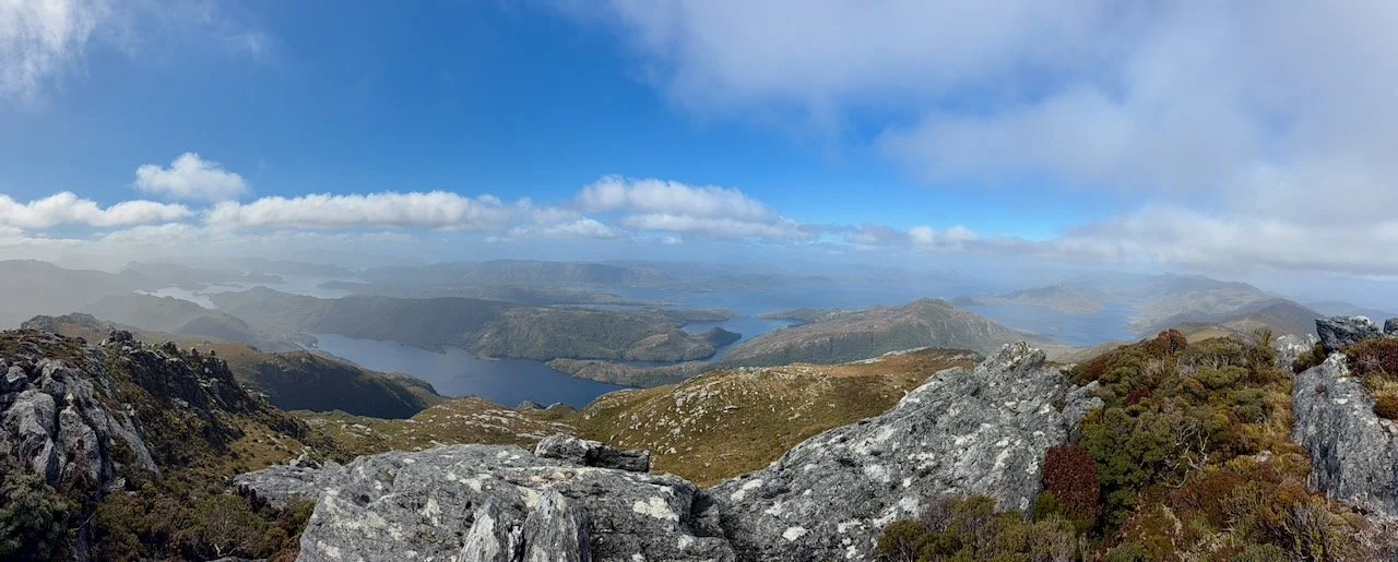
From this elevation, it’s possible to appreciate just how extensive the lake is, with different sections of water appearing between the ridgelines.
Beyond the lake, the mountains of southwest Tasmania extend towards the horizon. It’s a remarkable landscape and we were fortunate to have reasonably good visibility, despite the cloud and strong wind gusts. There were patches of sunshine illuminating parts of the lake and surrounding mountains, while other areas remained in shadow beneath the clouds.
We found somewhere suitable to sit and stopped for lunch. It was a good opportunity to enjoy the views and have a break after the climb.
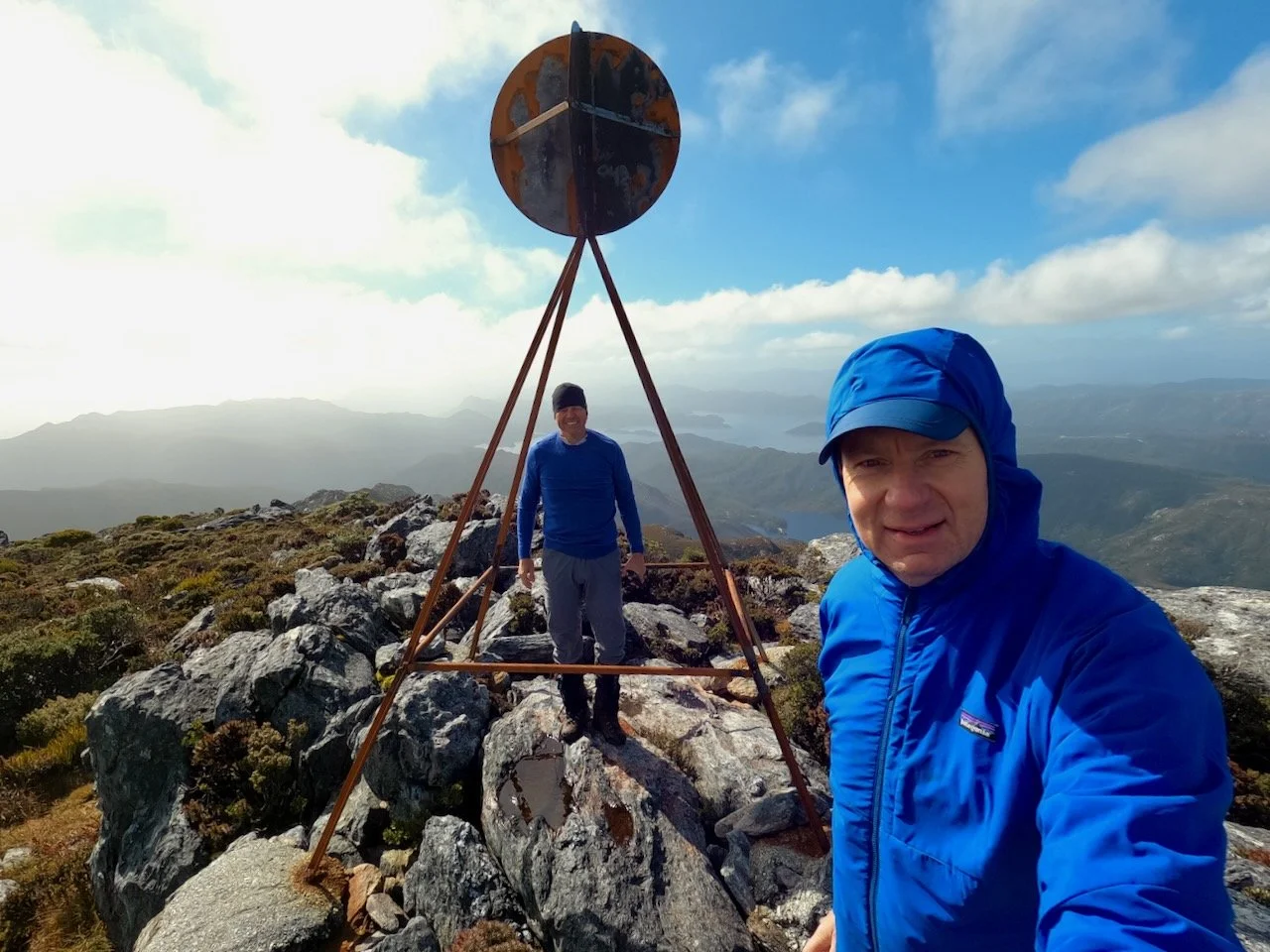
After lunch and taking some photographs, we began the return journey.
The Return Walk
The return walk followed the same route back to Serpentine Dam.
Although descending was obviously less physically demanding than climbing, the steepness of the track and the wet conditions meant that it wasn’t necessarily much easier. The initial descent from the summit involved negotiating the same rocky outcrops we’d climbed through earlier.
From there, we made our way down and back to the car. We finished the walk at approximately 4:05 pm, having taken just under six hours for the return trip, including our breaks and lunch on the summit.
Summary
Mt Sprent turned out to be an excellent choice for a day walk, particularly given the less favourable weather conditions elsewhere in Tasmania. Although the walk is only around seven kilometres return, it involves a substantial climb of approximately 745 metres, with much of the elevation gained over a relatively short distance.
The track was extremely wet during our walk, with numerous muddy sections, slippery rocks and water running along parts of the route. I’d certainly recommend wearing waterproof hiking boots rather than trail runners, especially during the wetter months.
The summit provides some spectacular scenery, and the relatively short distance makes Mt Sprent an achievable day walk from Hobart.
The Stats
Distance: 7.06 km return (GPS recorded)
Total time: 5 hours 55 minutes (including breaks and lunch on the summit)
Elevation gain: 745 m