
Mt Mueller
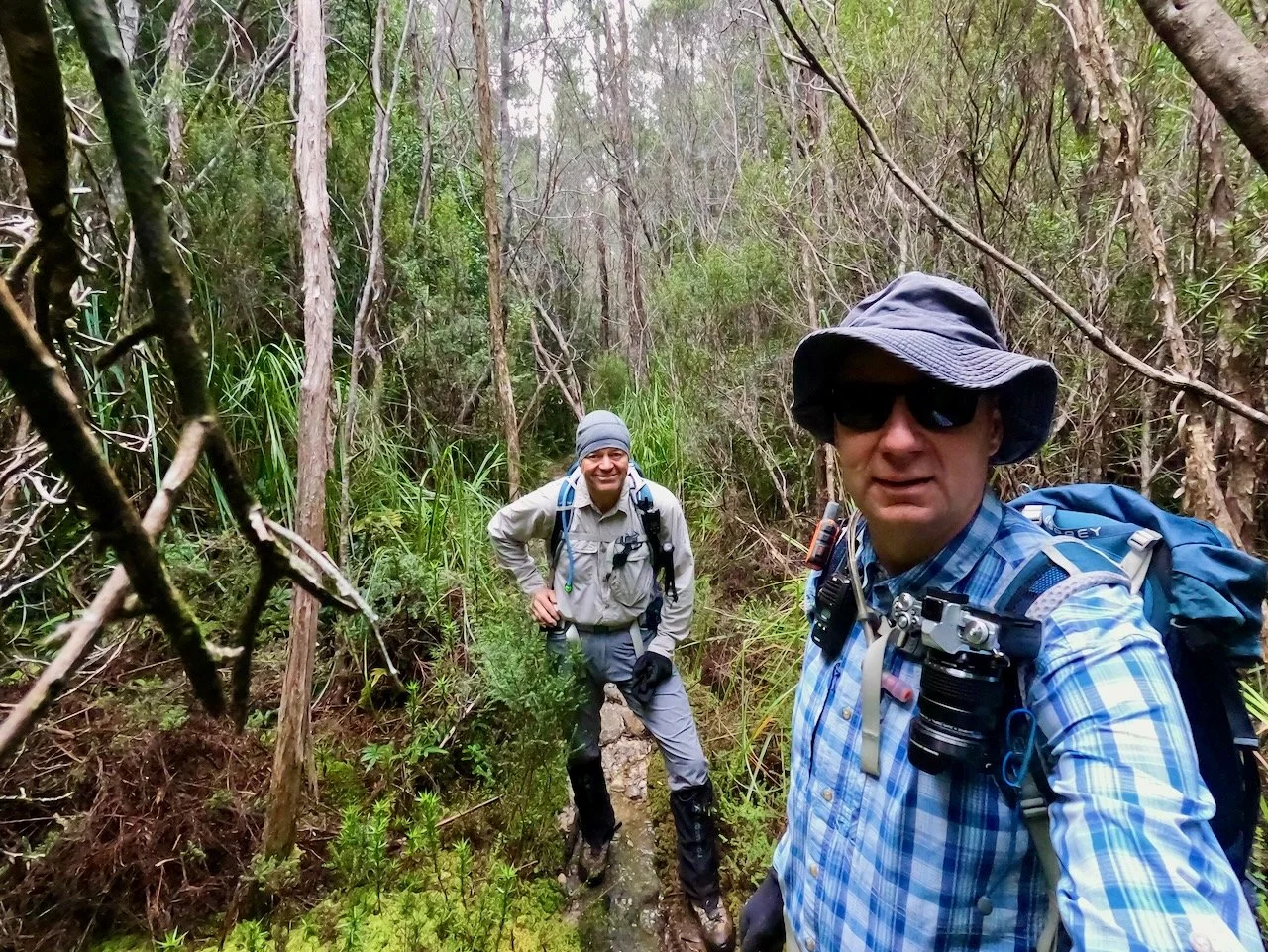
During the last weekend in April 2026, Col and I were looking for an Abel we could knock off. With the weather getting cooler, and the days getting shorter, we were looking for something that wasn't too far from home and that was achievable as a day walk. Mt Mueller looked like a possibility, although I was considering it cautiously, given the shorter daylight hours. However, I was also keen to tick Mueller off having viewed the summit multiple times from The Needles.
The Stats
Distance: 13.6km (return)
Time: 7hrs 44mins (inc. breaks / lunch)
Elevation Gain: 636m net (1058m total)
Getting There
The track to Mt Mueller is a continuation of the Fossil Lake Track, which commences on a spur off Mueller Road, about a half hour drive from Maydena.
Given the shorter days at this time of year, Col and I decided to spend Friday night in Maydena so that we could set off nice and early on Saturday morning. We got away from our accommodation on time just after 7am, but due to a Gaia GPS Carplay maps glitch, missed the turnoff to Mueller Road initially, so were delayed slightly on reaching the start.
As you head west from Maydena, you continue along Gordon River Road towards Strathgordon, but turn off reasonably quickly onto Florentine Road. Un-intuitively, you turn off Gordon River Road to the right/north (as Mt Mueller is to the south), but take the next turn the right onto Styx Road and use an underpass to go back under Gordon River Road to head south. Both Florentine Road and Styx Road are unsealed, however they are big wide roads, although the conditions can vary given the weather in the southwest and their use by log trucks.
There is a boom gate at the start of Mueller Road, being within a forestry area, however it was open, and I understand Mueller Road is commonly accessed to reach not only Mt Mueller, but also the Weld River, which can be packrafted down to the Huon. While a smaller unsealed road, I was impressed with the driving conditions, with Mueller Road being significantly less rocky, and having less pot holes, than Styx Road.
The spur off Mueller Road to the start of the track was also in good condition, although the regrowth forest along it closes in closely to the road. If you had a large vehicle, you'd frequently be brushing up against the vegetation, both on the sides of the track and overhead.
The Track
Just before the end of the spur road is reached, a downed tree stops further progress. We parked here and set off along the continuation of the road.
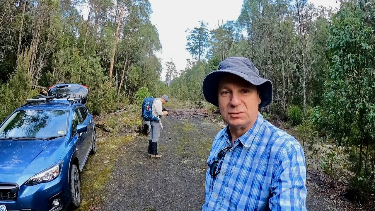
The continuation of the road is short, but somehow we missed the very obviously a taped opening to the track on the left side, which resulted in us bashing through the scrub at the point the road ends.
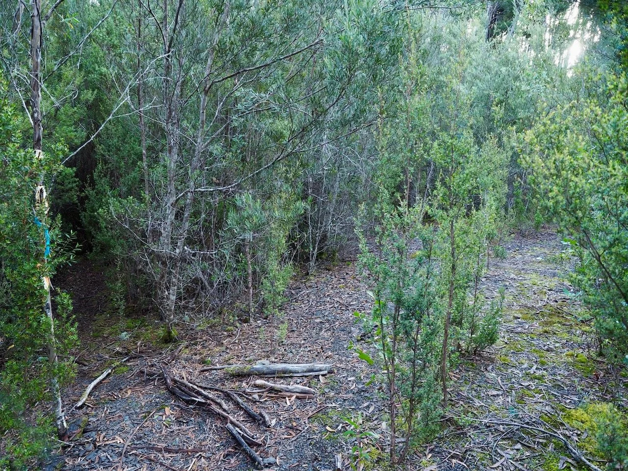
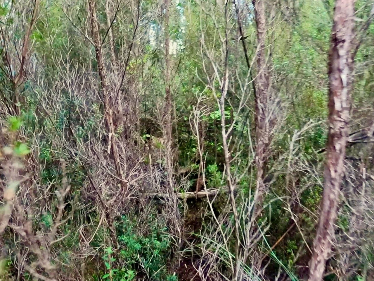
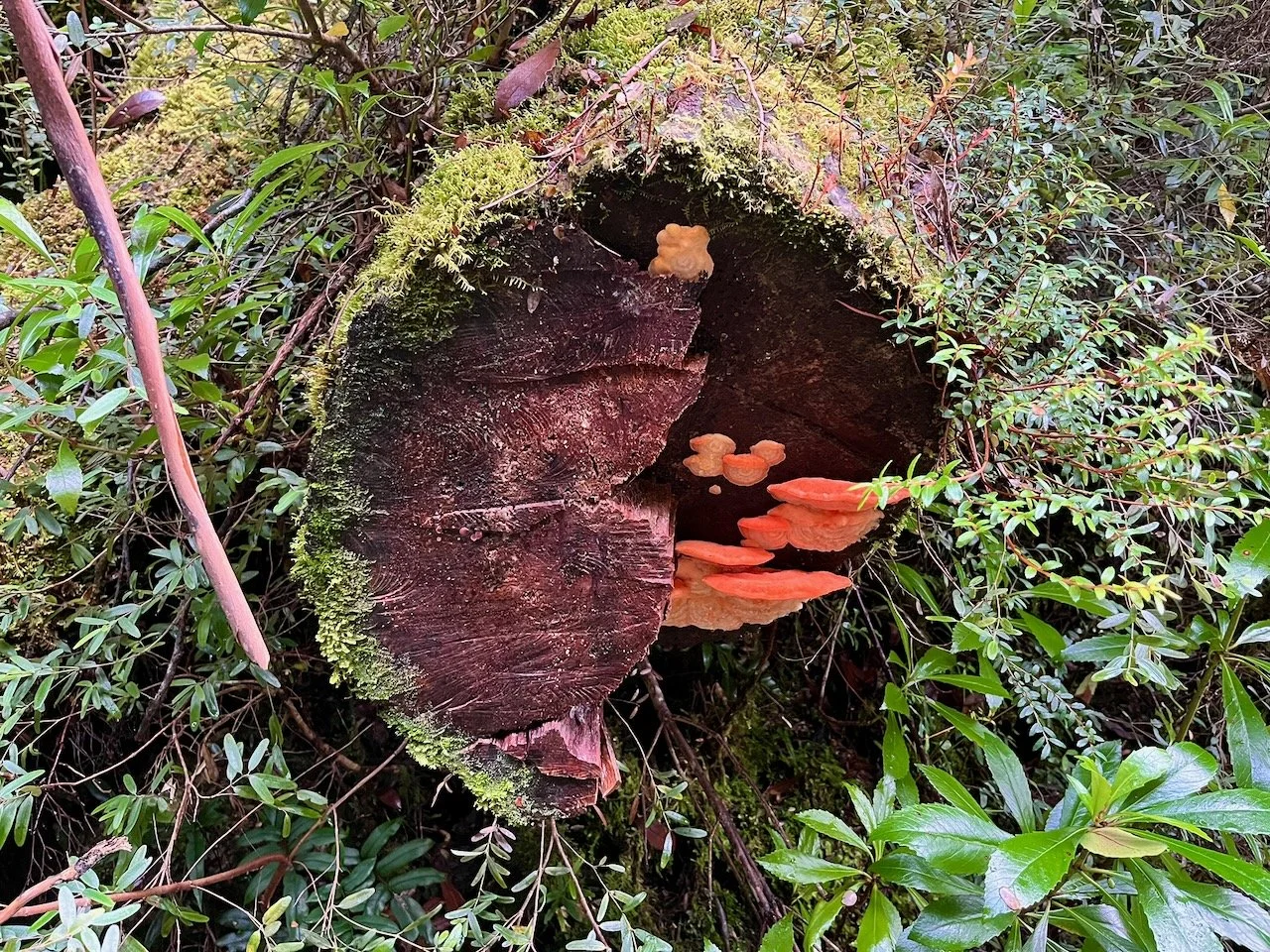
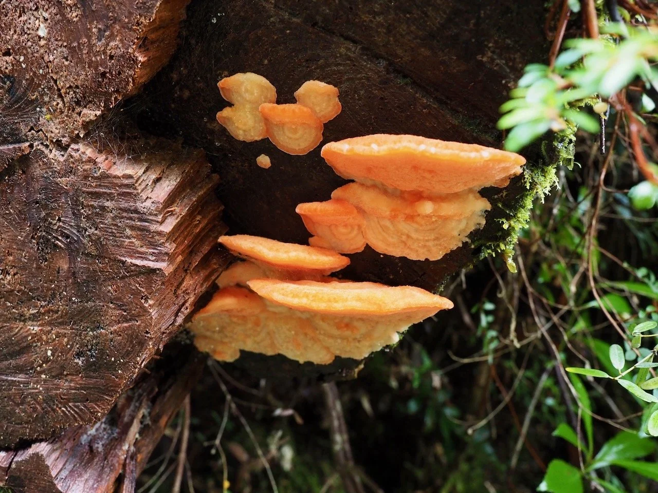
After a bit of bashing, we soon found our way back to the track. The initial 2km or so is very wet and at the start there is plenty of mud.
There was also plenty of interest to see along the way.
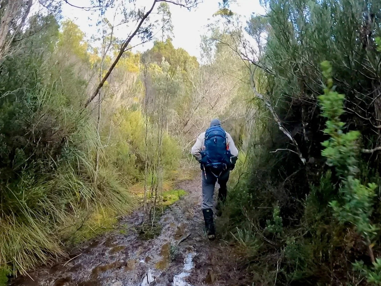
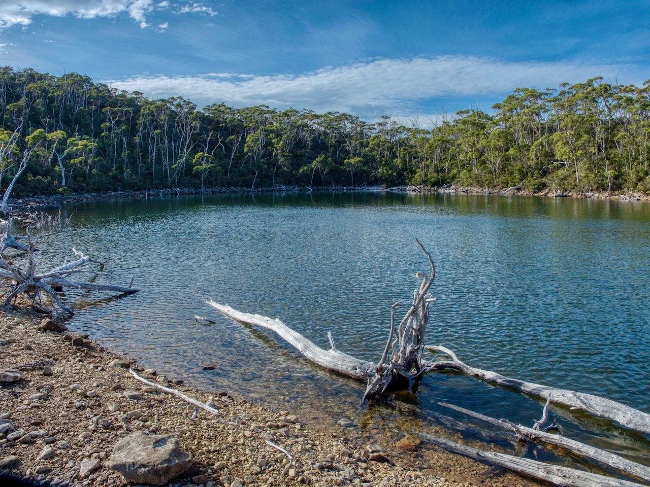
After the initial 2km, the scrub closes in quite closely on the track, although it is still very obvious. At about 2.8km in we started to climb up a ridge line where the track had a gravel base and was dryer. The track had climbed the whole way to this point, but the incline was relatively gentle. Around 3km we noticed the height of the scrub had dropped and we got our first glimpse of the mountain ahead through the trees, and very shortly after that we found ourselves above the lake which we looked across to the mountain.
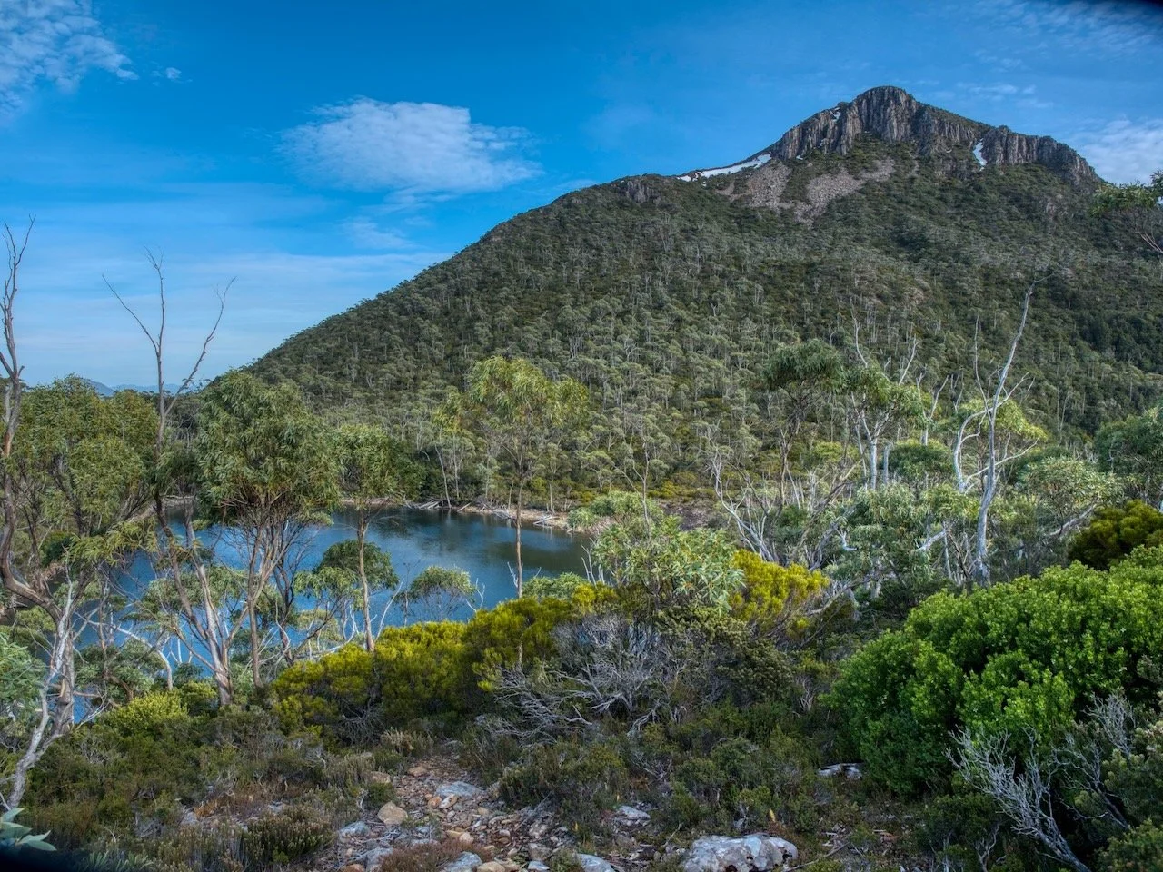
Immediately after this view of the lake there is a junction in the track marked by a cairn. The left track takes you to the southern side of the lake, but we took the route to the right, which took us down to the northern shore when the track continues up the mountain.
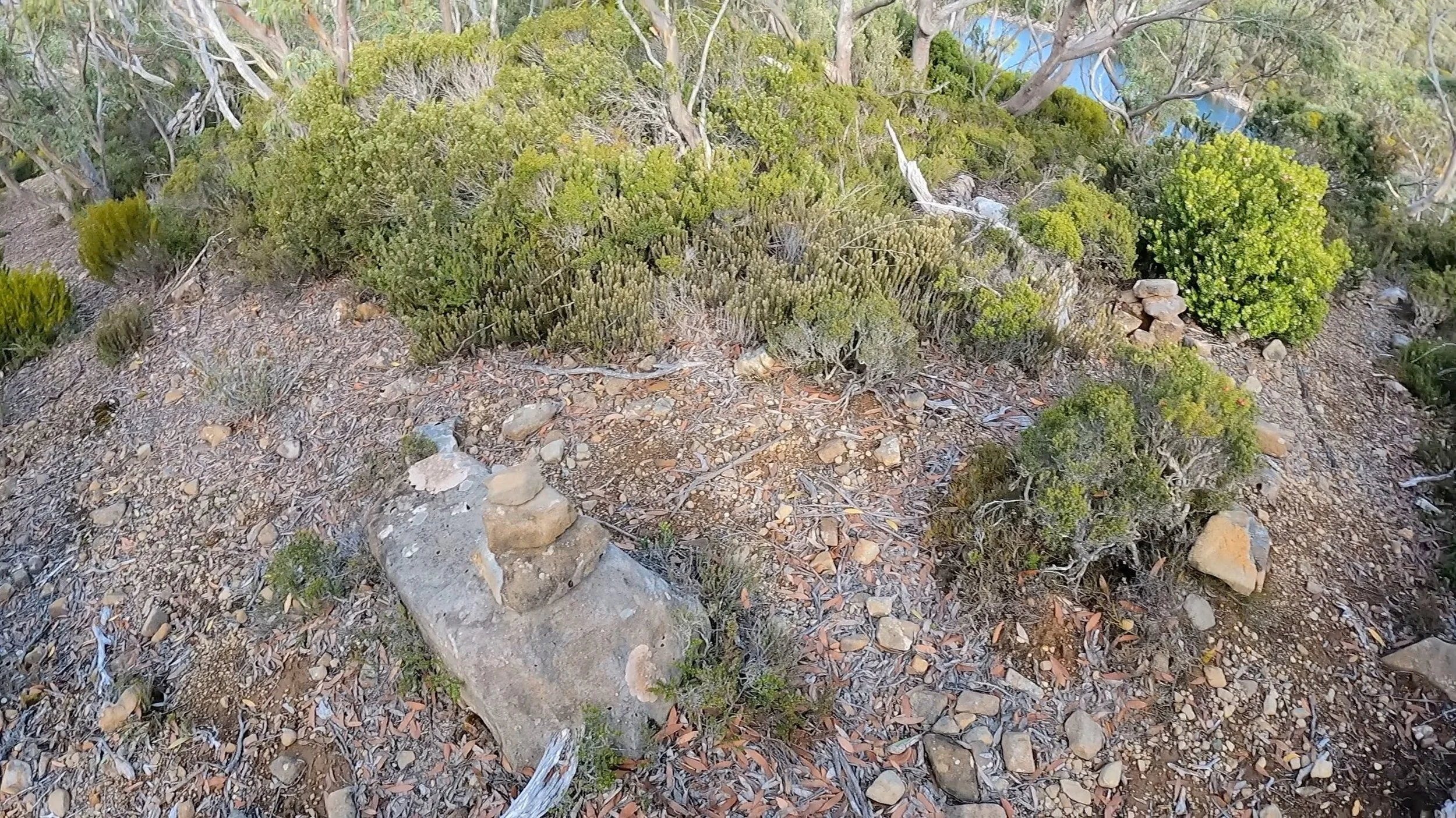
Left goes to the southern side of the lake. Right to the north and up the mountain.
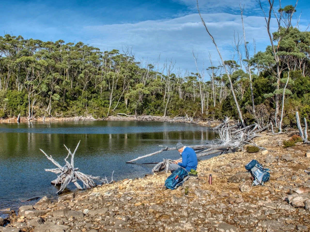
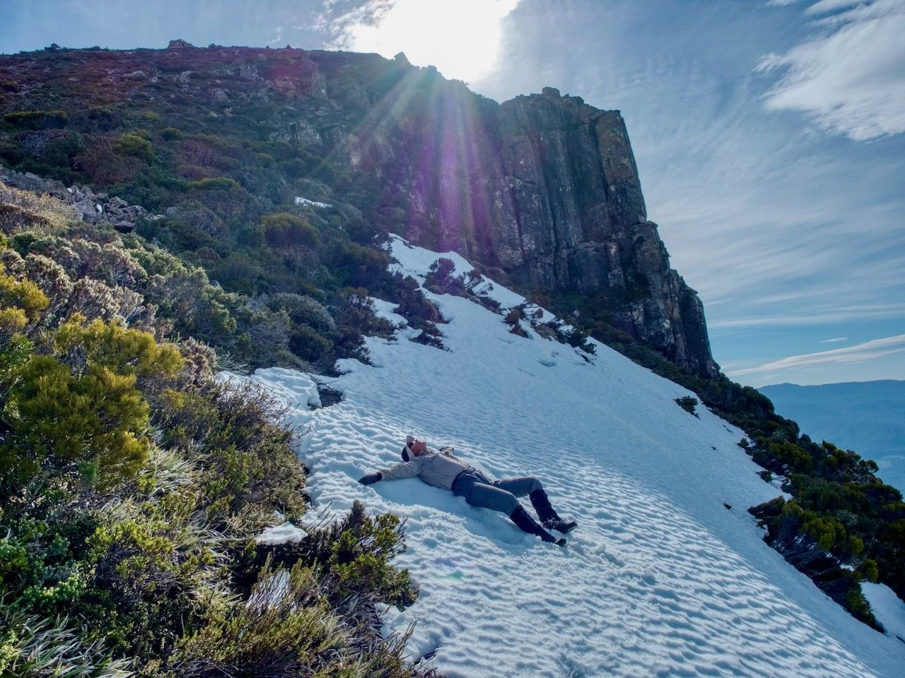
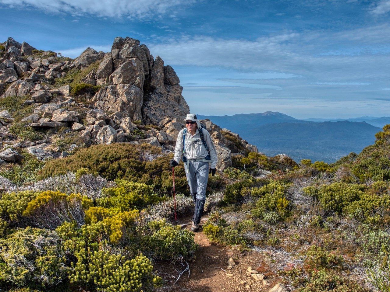
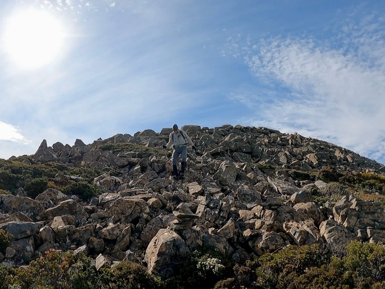
After a quick break for morning tea, we continued up the mountain, with the track still being quite obvious. The incline increased, but was still easy walking, although the closer we got to the scree field the steeper it got.
The track stayed left of the scree field and came out o top of the ridge, above the snow.
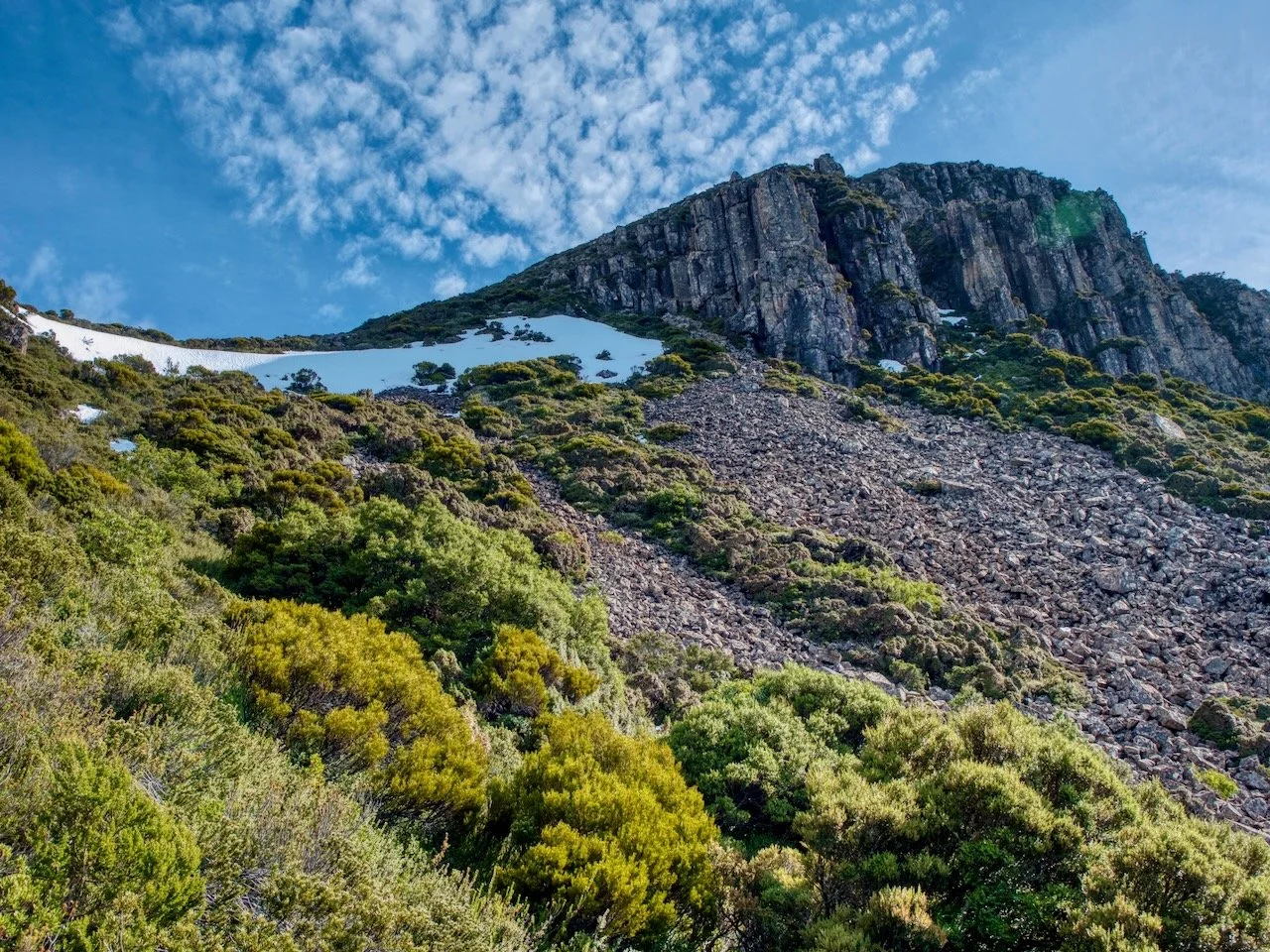
From there, we had a short sharp climb up to the top of the eastern summit, crossing a few small sections of scree.
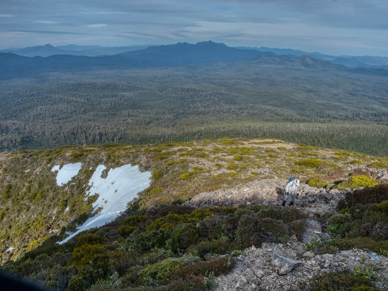
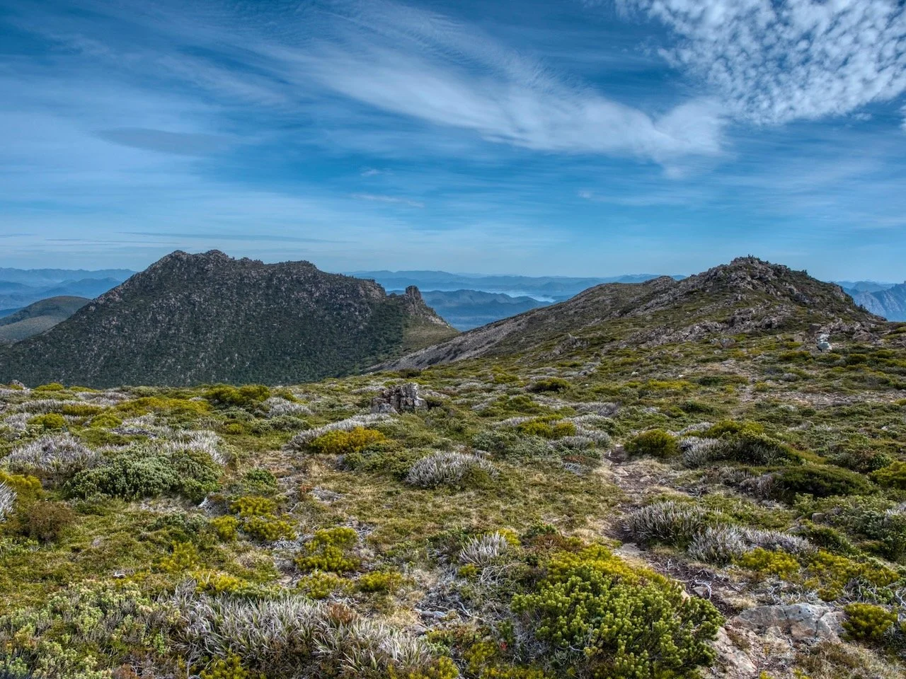
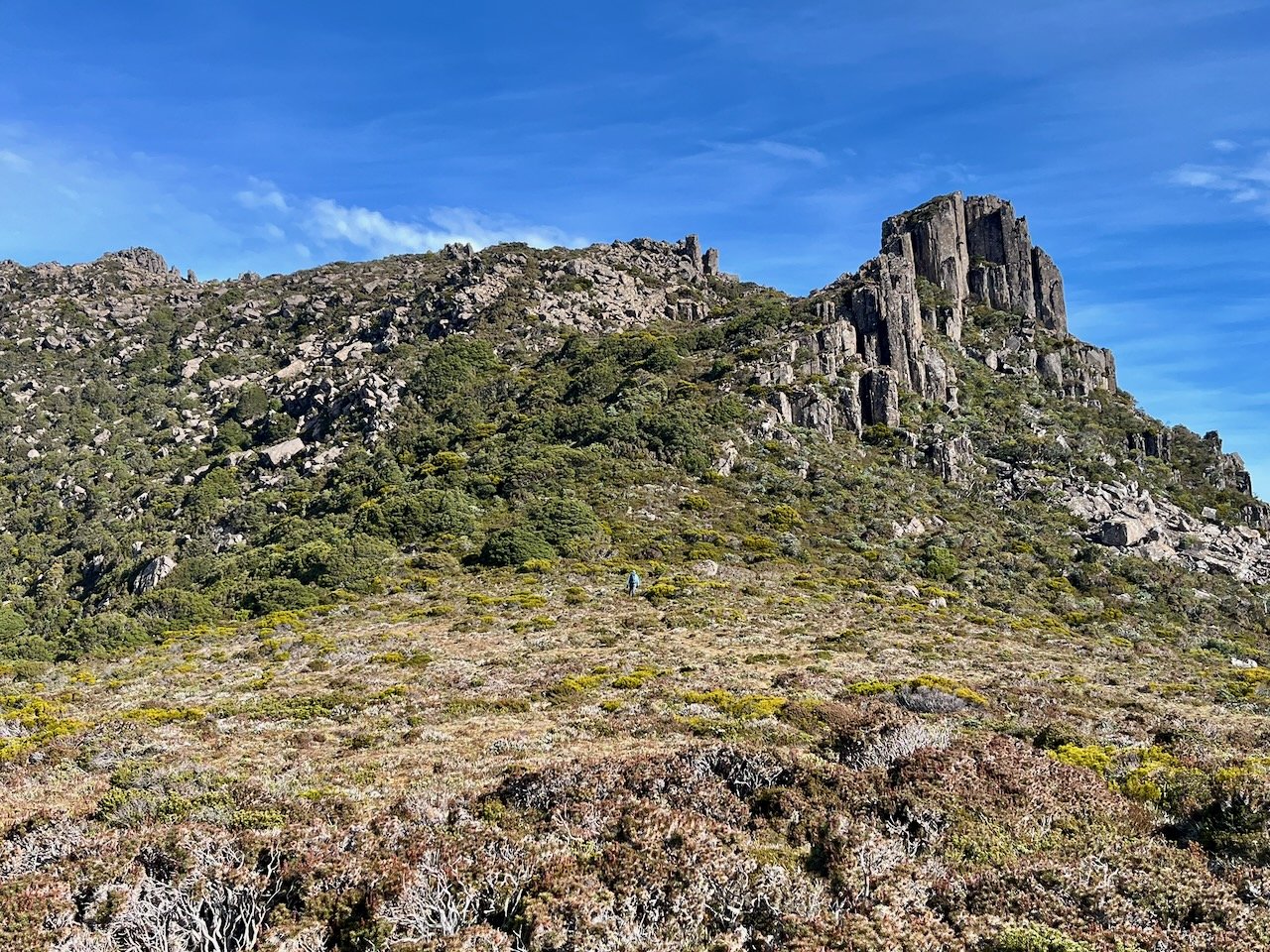
From here we had great views of the surrounding mountains, including The Thumbs, Mt Wright, Reads Peak, and The Needles. However, the high point of the mountain is on the western summit, which meant walking across the summit ridge, down into a saddle and up the other side.
About 5.9km into the walk we reached the end of the summit ridge and made our way down onto the saddle and up the other side.
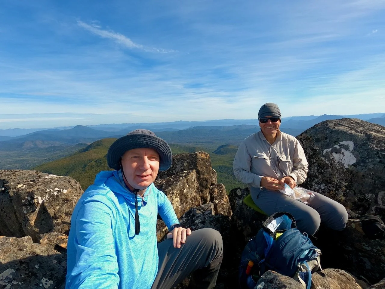
From there, the final climb was not long at all, although the pad became less distinct at points. It took us just on 4 hours from setting out to reach the high point and the summit cairn, where we stopped for lunch.
After lunch, we retraced our steps back to the car, noting that under the canopy towards the beginning of the track it was quite dark, even though we had a couple of hours until sunset.
In all, Mt Mueller was an enjoyable walk and easily done in a day. It was a great feeling to have ticked it off, after seeing it so many times from the top of The Needles.