
On Sunday the 11th of October 2026, I was looking for a solo activity to get me out of the house. In the weeks prior I had been doing some planning to visit some waterfalls in the Styx Valley, but with no recent rain, I decided to give Mt Styx a go instead. At 1,092m, Mt Styx is only 8m short of being an Abel, but was reportedly a fairly short walk.
The Stats
(from the quarry at the end of Jacques Road – which I’ll explain in a bit)
Distance: 4km (return)
Time: 2hrs 50mins (inc. lunch on the summit)
Elevation gian: 327m
Location
Mt Styx sits above the Styx River, on the southern side of the valley (which runs west to east). The valley runs almost parallel with the Tyenna Valley to the north (home to Maydena), with the two separated by the Maydena Range.
Getting There
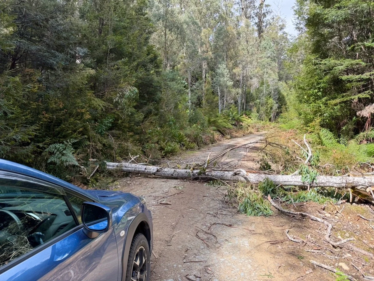
To get to the start of the hike, you take Gordon River Road out of New Norfolk and turn left onto the unsealed Styx Road at Karanja. After travelling about 25km on Styx Road you reach an intersection on your left with Jacques Road. Typically, you’d park at the quarry which is about 5km up Jacques Road, but unfortunately on this particular Sunday there was a tree down across the road about 2km from the intersection with Styx Road, which gave me an added 3km of road walk each way!
The Styx Valley is famous for its giant eucalyptus trees, and along my short drive up Jacques Road there were occasional enormous trees towering above the surrounding forest. As I commenced the road walk, I observed some stood alone, making their size particularly impressive.
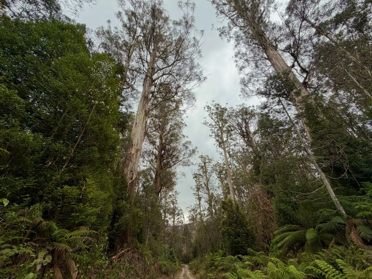
The first part of the road walk was straightforward, although I soon discovered that the road climbed quite substantially towards the mountain. The final couple of kilometres were particularly uphill, and would have been much more pleasant in the car.
Along the way I passed beneath a major electricity transmission line. The wires appeared surprisingly low as I approached, although the towers themselves didn’t look massive. I wondered whether the lines carried electricity from the Gordon Power Station, and confirmed this to be the case when I later checked the map at home.
The Track
An account I’d read from another walker stated they had parked at the quarry, so initially I assumed that this would be where the walking track began. However, the GPX track I’d downloaded showed that I needed to continue beyond the quarry, following the road further east past it.
The road continued for a short distance before reaching a junction with a turn to the right. I needed to continue straight at this point, and in this direction, this was the end of the vehicle-accessible section. The old road was quite scrubby, with cutting grass growing across parts of the route. There was still a reasonably obvious way through, although far less open than the road to this point.
Part way along I spotted a piece of marking tape attached to a tree, but it wasn’t immediately obvious what it indicated. I think it simply marked the route along the old road. A check of the map suggested that I needed to continue further before turning uphill.
Eventually, I reached what appeared to be the actual start of the walking track. There was some tape on a tree, another marker further ahead, and a small cairn near the ground.
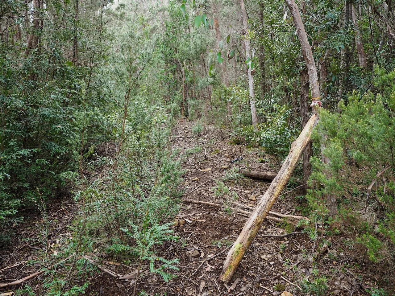
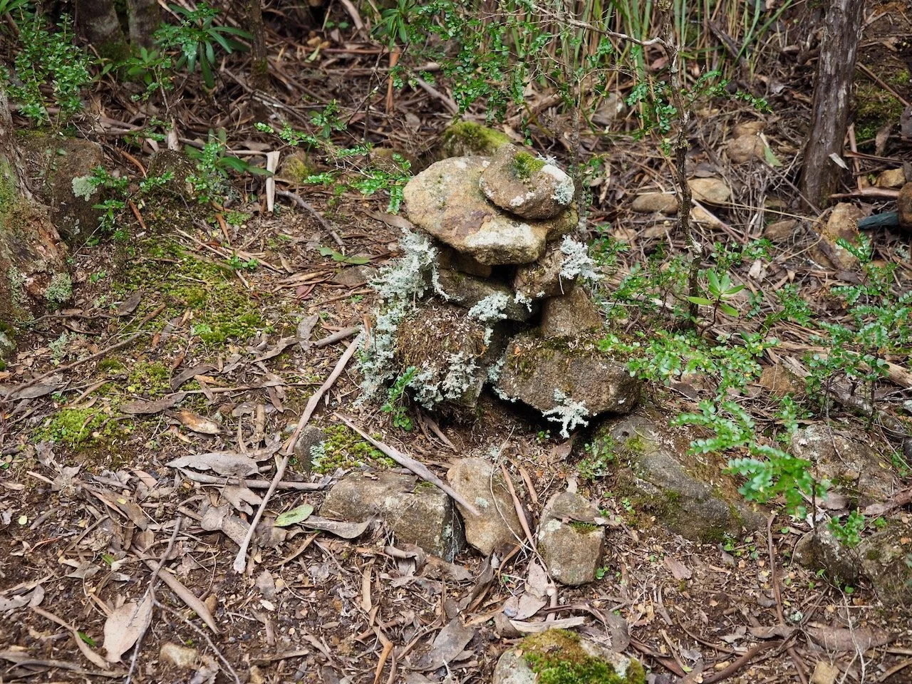
From here, the route left the old road and headed uphill through the forest.
The first section of the track through the forest was surprisingly pleasant. Although there wasn’t a formed track, there was a reasonably distinct pad through the forest. The vegetation was also fairly open, making the walking easier than the overgrown road I’d just followed.
The route was marked with a mixture of coloured tape and plastic lids nailed to trees. These appeared at reasonably regular intervals, and for the first part of the climb I had little difficulty following the route.
The forest was predominantly eucalypt woodland, with an occasional understorey of shrubs, ferns and cutting grass. The ground was covered in leaf litter, fallen branches and occasional loose rocks.
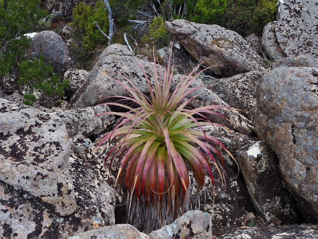
As I gained elevation, the vegetation gradually became scrubbier and denser. The track narrowed and became less distinct in places, although there was usually still a recognisable pad through the scrub. The markers also became less frequent, requiring a little more attention to navigation. Although the track was now more overgrown, I wasn’t having to fight my way through the scrub. There was generally enough of a pad to make progress without too much difficulty.
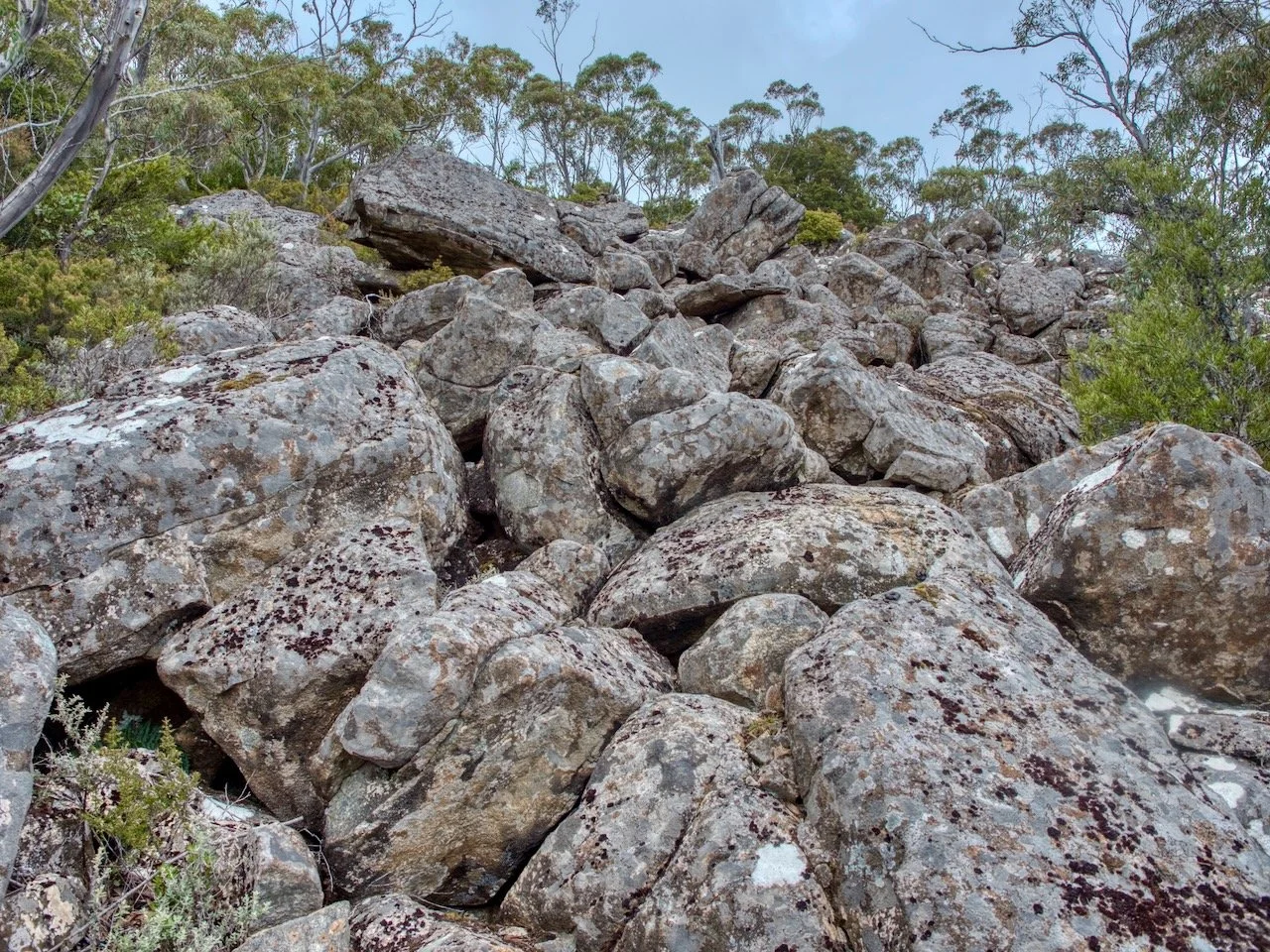
As I climbed higher, I started to encounter patches of scree. Although the boulders were substantial, the scrambling wasn’t particularly technical. It was more a matter of picking a sensible route and taking care on the uneven surfaces. After negotiating the first rocky section, the route returned briefly to scrub before reaching another boulder field.
The Summit
Eventually, I emerged from the trees and boulders onto the open summit plateau. The vegetation here was quite different from the scrub below. There was low, dense alpine scrub interspersed with rocky outcrops.
The summit itself was visible ahead, marked by a large stone cairn sitting prominently on top of a rocky rise. There was no longer any marking tape to follow, and the pad was quite faint. I followed what appeared to be a route through the scrub, although I wasn’t entirely certain whether it had been made by bushwalkers or wombats. Occasional rock cairns confirmed that I was still heading in the right direction.
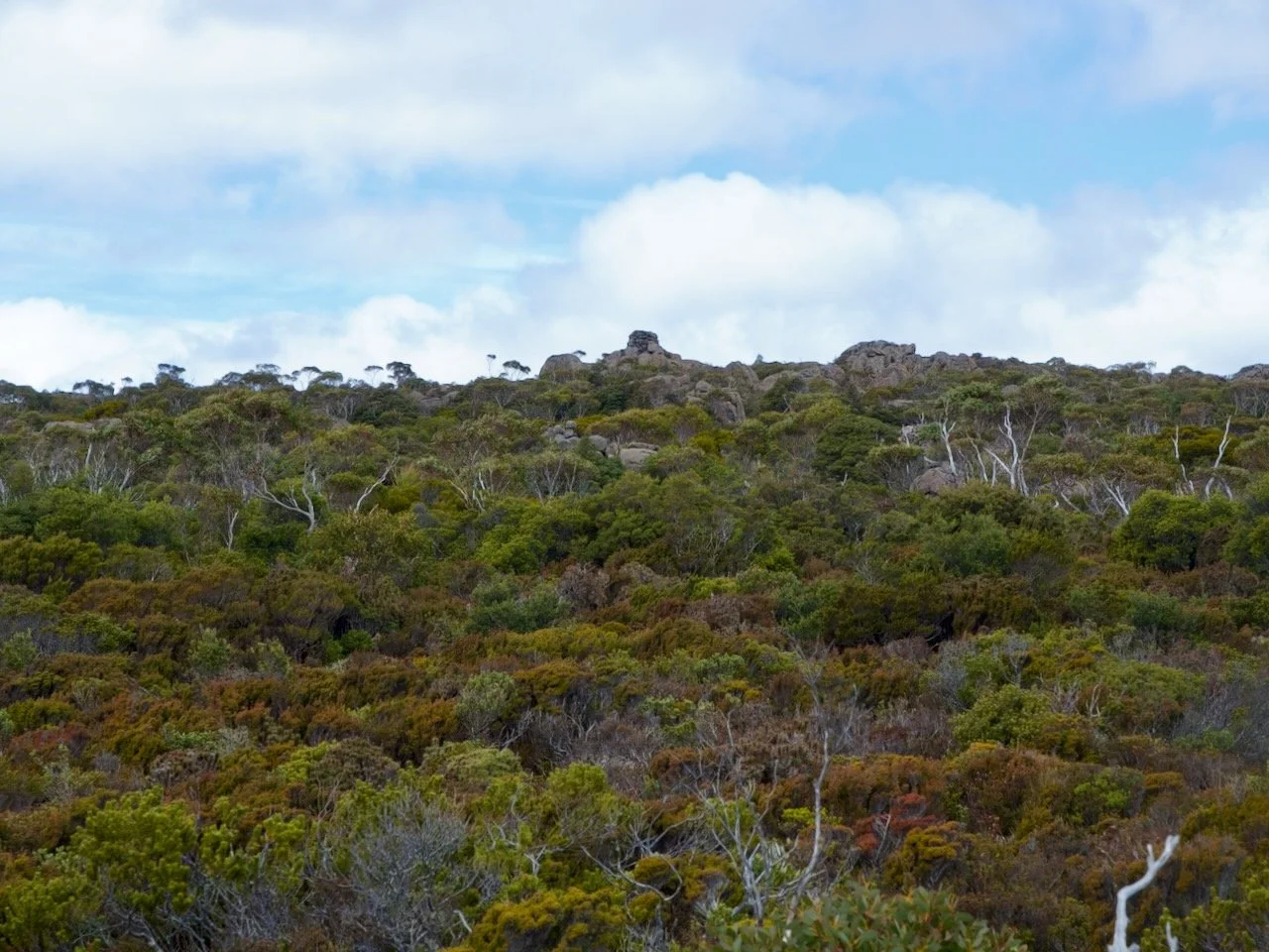
The summit of Mount Styx is marked by a particularly impressive beehive cairn, and looks like a squat stone tower.
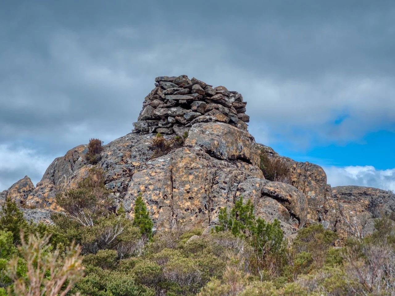
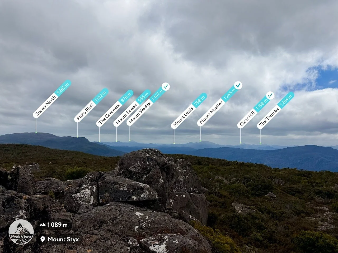
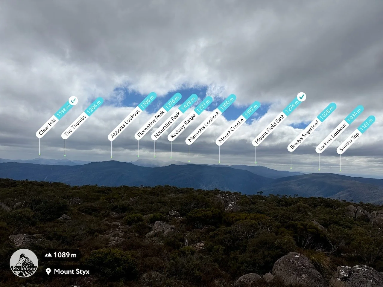
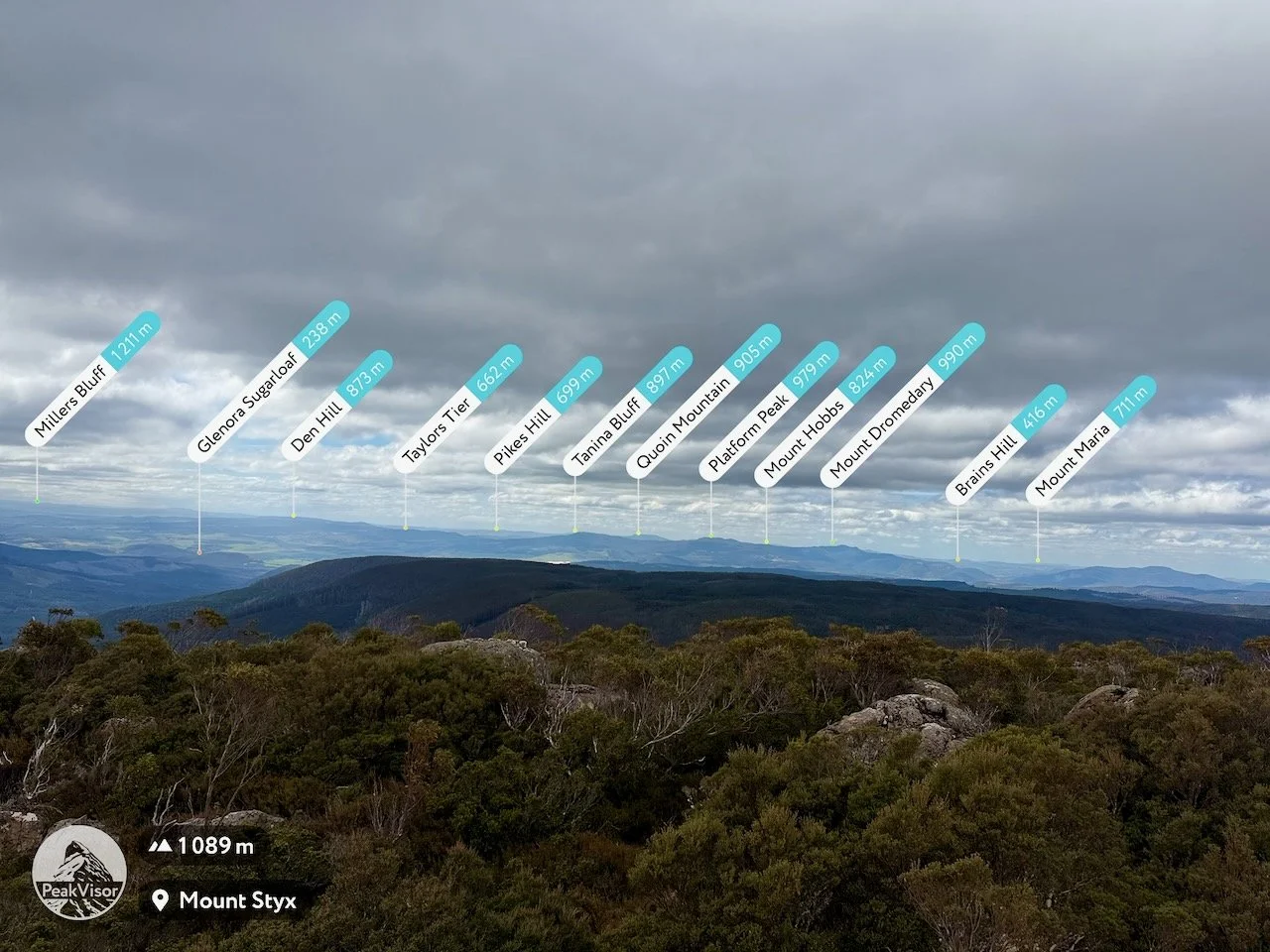
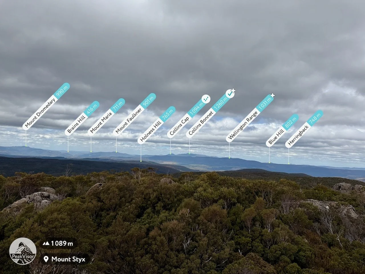
It was quite windy on the summit, and the cloud was still looking threatening, although there were occasional patches of blue sky. Despite the that, the visibility was good enough to identify a remarkable number of surrounding mountains and I took some photos while stopping for some lunch.
After spending some time enjoying the views, I retraced my route back towards the car.
Mt Styx was a very enjoyable walk. It encompasses a variety of terrain and vegetation, had fantastic views, and is remarkably easy to do given how short it is. It is well worth checking out.