
Tower Hill – The Dual Abels of East Tower and West Tower
On my continuing effort to visit the Abels in the northeast, I set out on Saturday the 19th of April 2025 to summit Tower Hill, which is in fact two Abels: East tower and West Tower.
The Stats
Distance: 8.2km (return)
Time: 4½ hrs (inc. breaks)
Elevation: 418m (over length of walk)
Location
Tower Hill is in the northeast of Tasmania, between Fingal and Mathinna, and is accessed from Cabin Road, which is off Tower Hill Road. I drove in on Tower Hill Road from its southern end, off Mangana Road, but the start of the road isn’t great, being washed out in places. Consequently, I’d recommend access by driving further north from Fingal on Mathinna Road, turning west onto Mullens Road, and taking it through to Tower Hill Road. Driving up Cabin Road, you finish at a car park just below the peak of East Tower.
The Track
Arriving at the car park below East Tower, there isn’t a track, just a set of stars that takes you up to the fire tower and communications equipment purchased on the rock pillars of the mountain. This is very quick and easy to do, and from the balcony of the fire tower there are great views of the surrounding northeast mountains.


From here, the hike to West Tower looks short and quick, but this is deceiving, as the high point is on the left, but the track takes you to the right-hand end where you summit the ridge line to sidle along its back side to reach the summit.
After summiting East Tower, I made my way back down to the car park, and then walked back down the road about 250m to a small cairn that marked the faint remains of a fire trail that is the start of the track to West Tower.
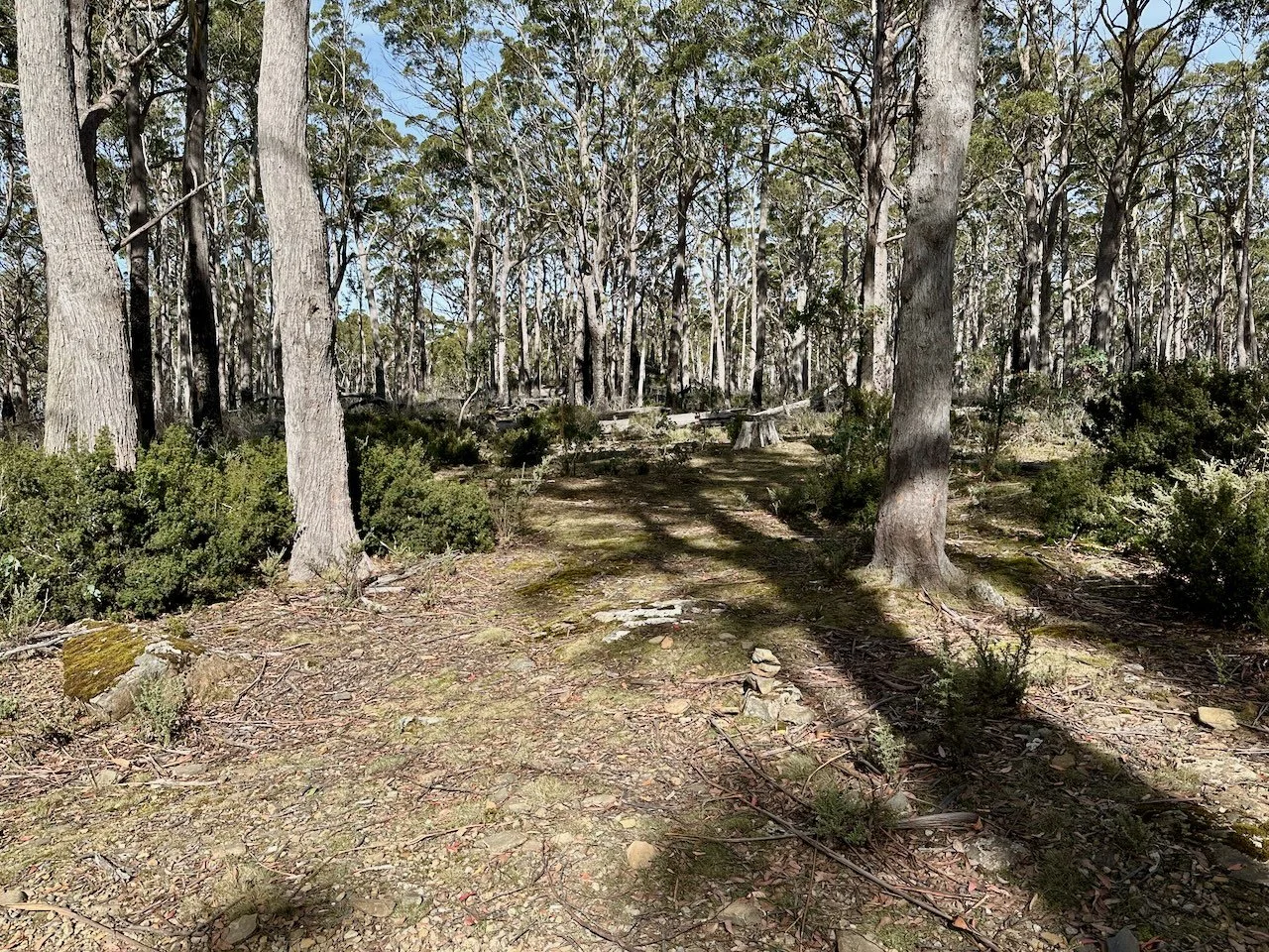
The walk starts out easy and flat and then starts to descent to the saddle on an easy to follow, and grassy, fire trail. On reaching the bottom of the saddle, the track becomes less distinct, with fallen trees and ferns blocking the way. Then, as you start to make your way up the other side, the track is almost gone, with only the odd cairn and tape to guide you.
At one point just up from the saddle, I lost my way and spend about 10 minutes wandering about before I found the track again. But other than this section, the route is reasonably well marked.
Approaching the ridge line you need to sidle to the right a little bit, before a gully leads you up to the ridge line. This involves some scrambling, but isn’t difficult. Not having done my research, I was expecting the ridge to be the summit, but instead you cross over this and continue on to the other side where the route sidles along the back side of the ridge to the actual summit.
While easy to follow, the route along the back is not as easy as the track in and involves lots of up and down traversing scree and other obstacles before the summit is finally reached. The video at the end of the post shows what this is like.


