
Mt Maurice
I’ve been slowly knocking off the Abels in Tasmania’s northeast, so in March 2025 I set out to add Mt Maurice to the list.
Multiple Approaches
ListMap shows two tracks to the summit, one from the west and another from the southeast. While the approach from the west is the only one listed on AllTrails, and seems to be the more common, I initially thought I try the approach from the southeast, as I was coming from St Helens, and was bouyed by a blog post from Becca of Rockmonkeyadventures who had taken this route, albeit that was a decade ago in 2014!
So on 1 March 2025, I set out to make the assent from the southeast. Unlike Becca, I was approaching the trailhead from the east (she had come from the west). I left St Helens on Argonaut Road, which becomes Mt Albert Road as you head west. I then turned north onto Mathinna Plains Road, and west again onto Barnett Road, which runs through Talawa, and then becomes East Maurice Road. At the Ringarooma River I turned south onto Maurice Road, but just past Trenah and the intersection with Dunns Creek Road, I was brought to a stop as the road became too overgrown, which left me about 5½ km short of the trail head.
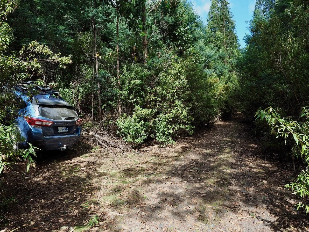
Maurice Road continues straight ahead, with my car parked in a spur off it.
Having come this far, I decided to suck up the road walk and set out on foot. But I didn’t get far before I encountered my first tiger snake.
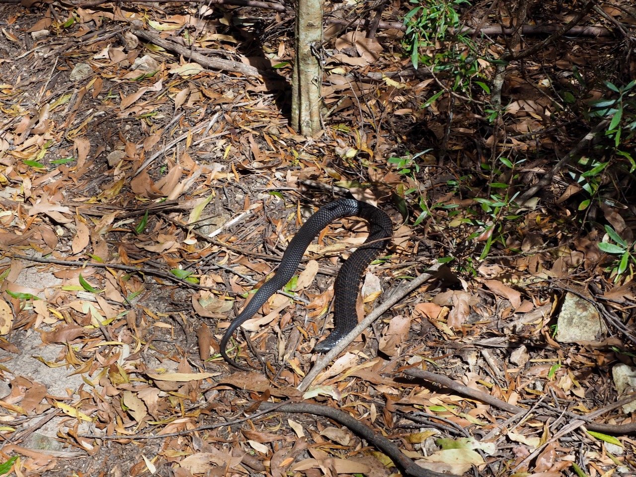
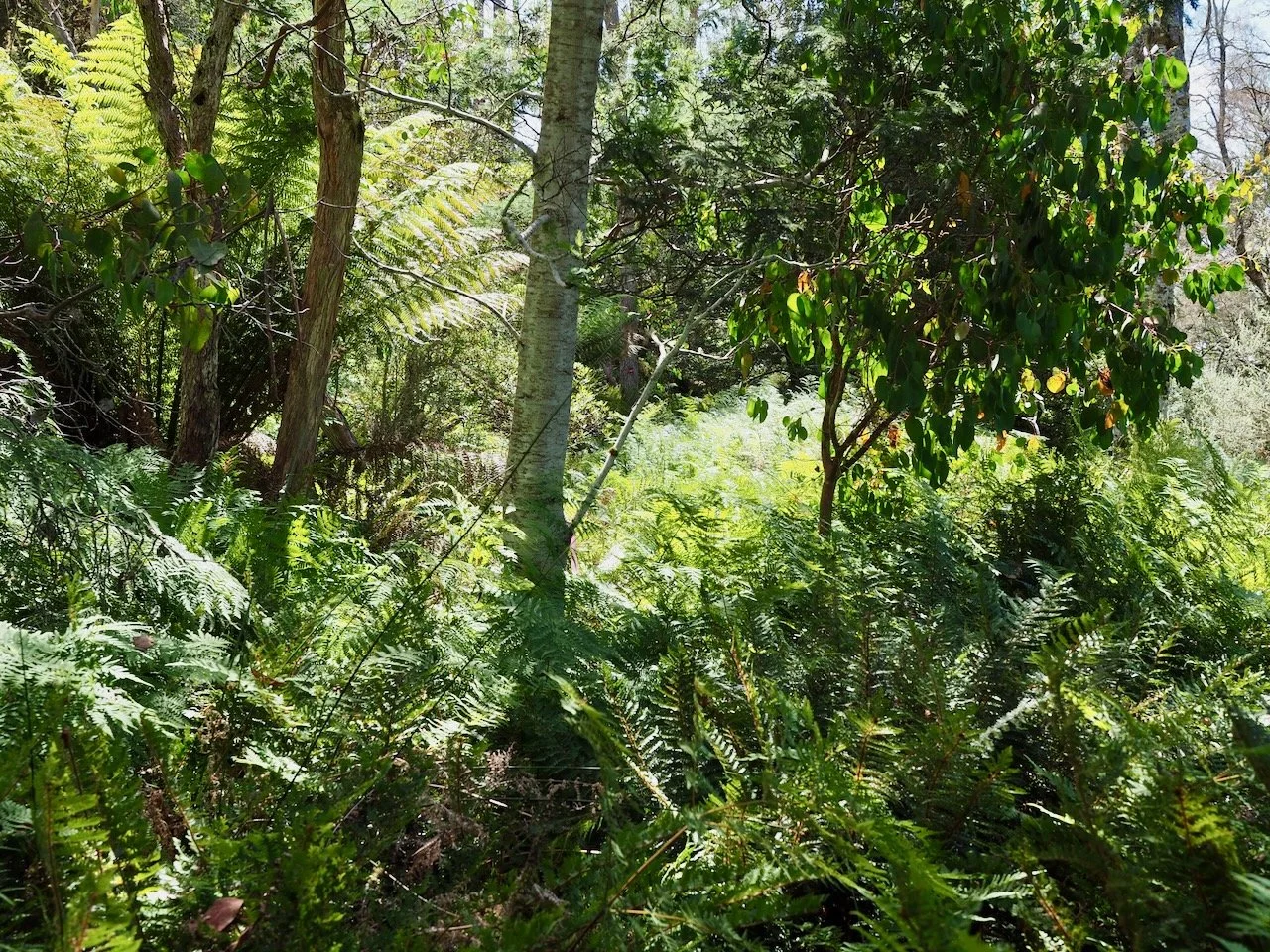
This guy was enjoying the sun so much that he refused to get off the road! I slowly edged past him, but was now feeling a bit of trepidation about my solo walk. However, I continued on and made my way along the road, which became steep and rutted, to the trail head. I then started up the trail, which was I soon discovered was severely overgrown.
After climbing a bit of a hill, I needed to navigate a fallen tree. As I stepped down off it, a monster tiger snake slithered away from right next to where I’d put my foot down 😬. That was it for me! Being on my own, on a very overgrown track, and having had two snake encounters already, I made the call that discretion is the better part of valour and turned around to head back to the car.
Western Approach
Having aborted my approach from the southeast, I decided to make a second attempt from the west on the 29th of March 2025. This time I drove out to Mathinna and along Upper Esk Road to Upper Esk, then turning south onto Gunns Road. I followed this road as it wound its way west and then north through Roses Tier and became Telopea Road. At the intersection with Ben Ridge Road I turned west again and followed Ben Ridge Road until I reached Knights Road, where I was soon stopped by the washed out bridge over the St Patricks River.
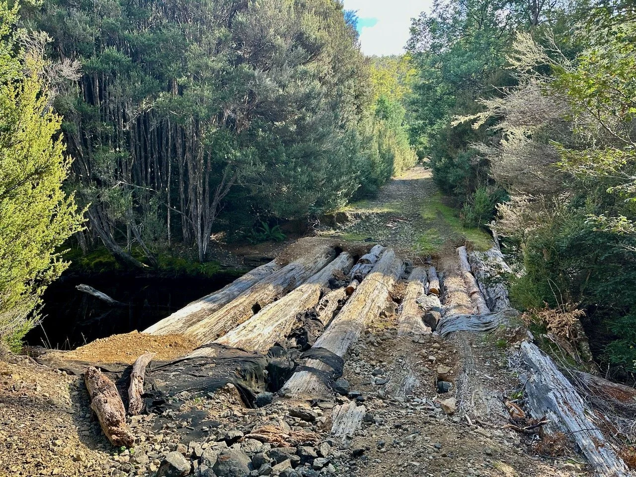
The Knights Road bridge over the St Patricks River.
As with my previous attempt, this left me short of the trail head, and required a 6km road walk in, with about 250m of elevation. Towards the end, there were a few trees down across the road, but there was nothing too difficult to pass. If you are a strong uphill rider, a mountain bike for this section would certainly make the trip out less tedious.
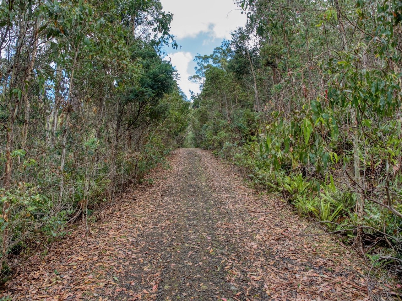
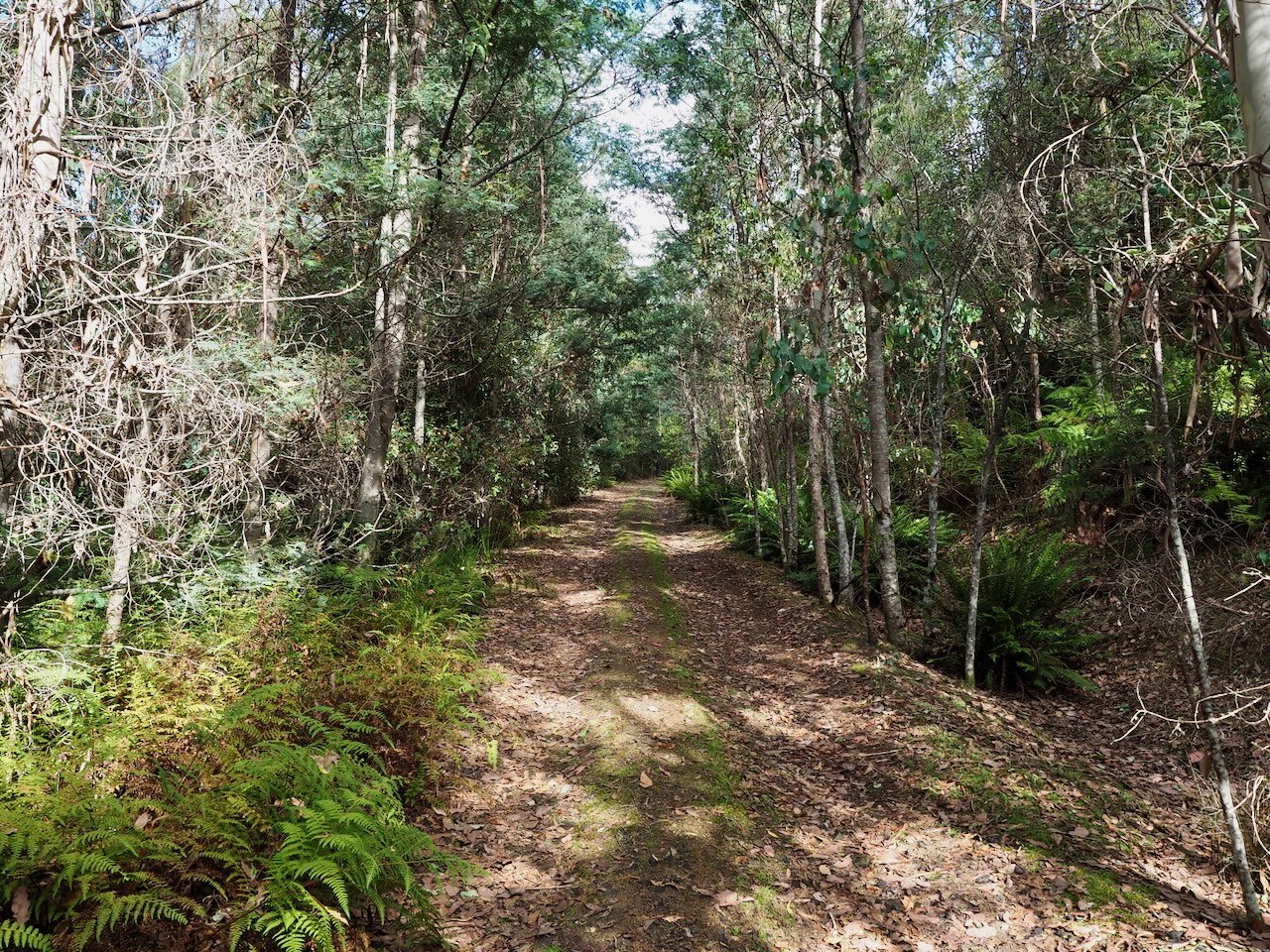
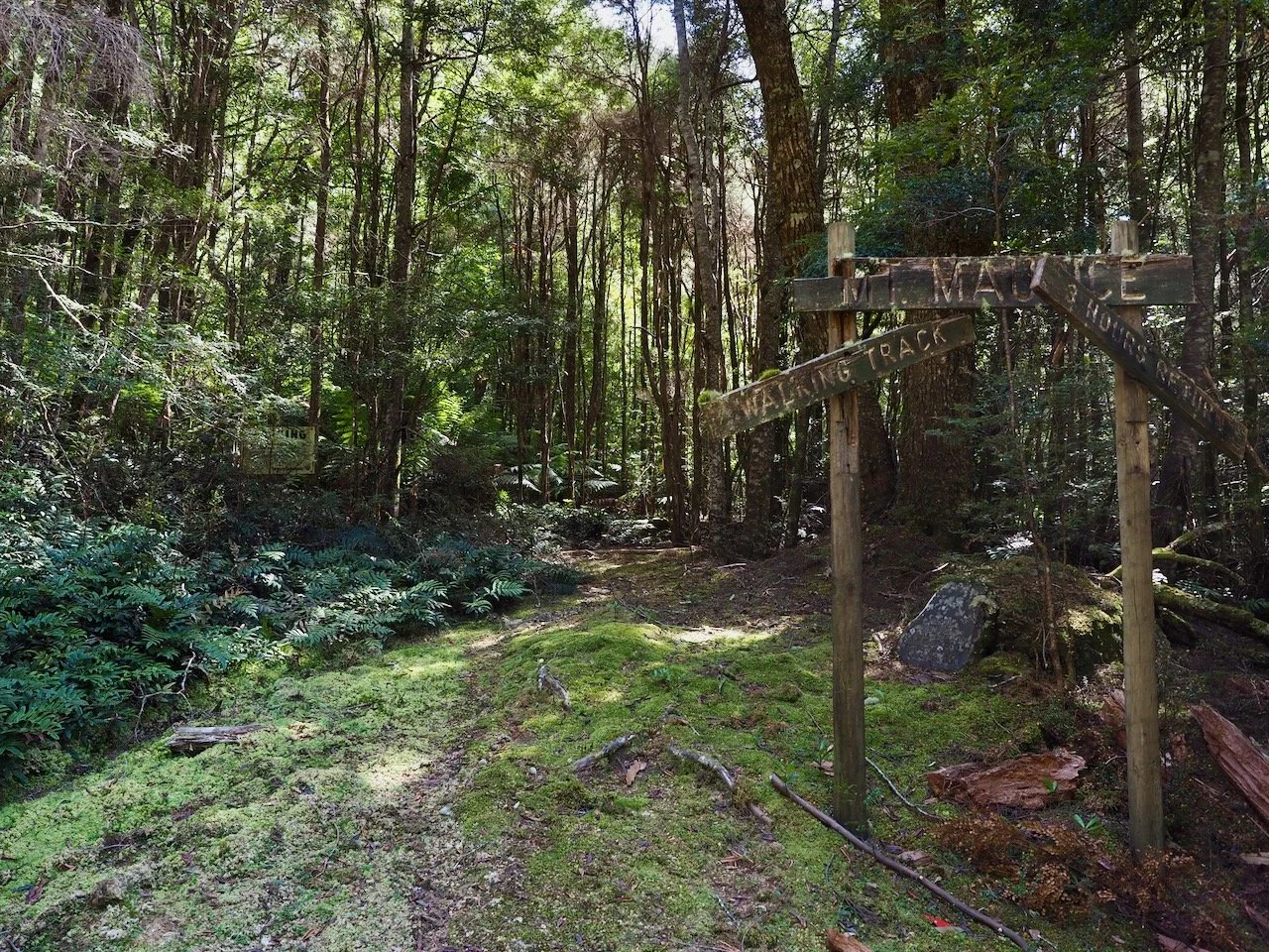
The trail head is marked only by a pink ribbon on a post. Initially the trail is reasonably wide, but soon become completely overgrown by ferns. However, after navigating your way through these, the trail opens up again and was clearly a four-wheel-drive track at some stage. After about a kilometre from the trail head, a sign for the walk is reached, which must have been the original trail head.


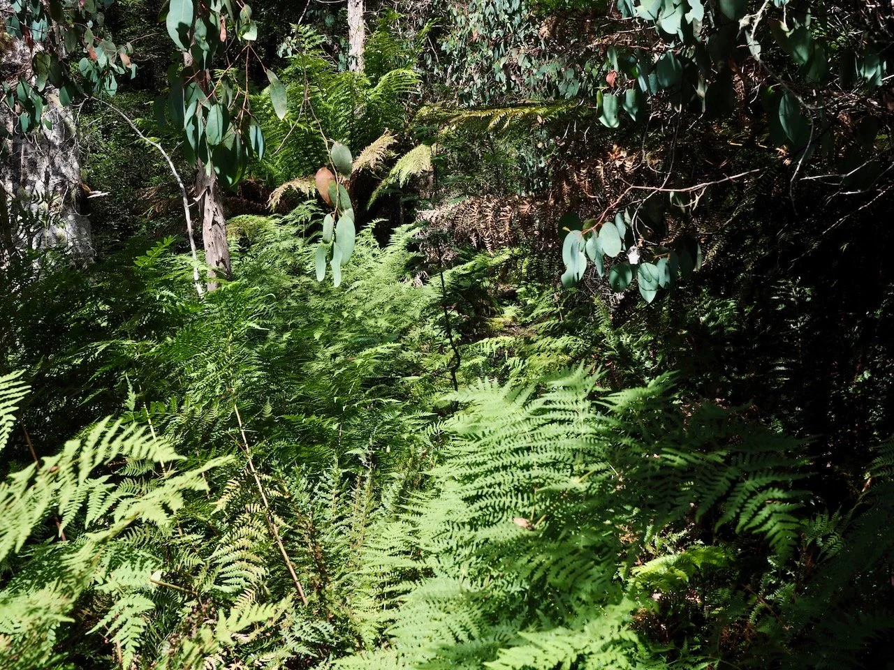
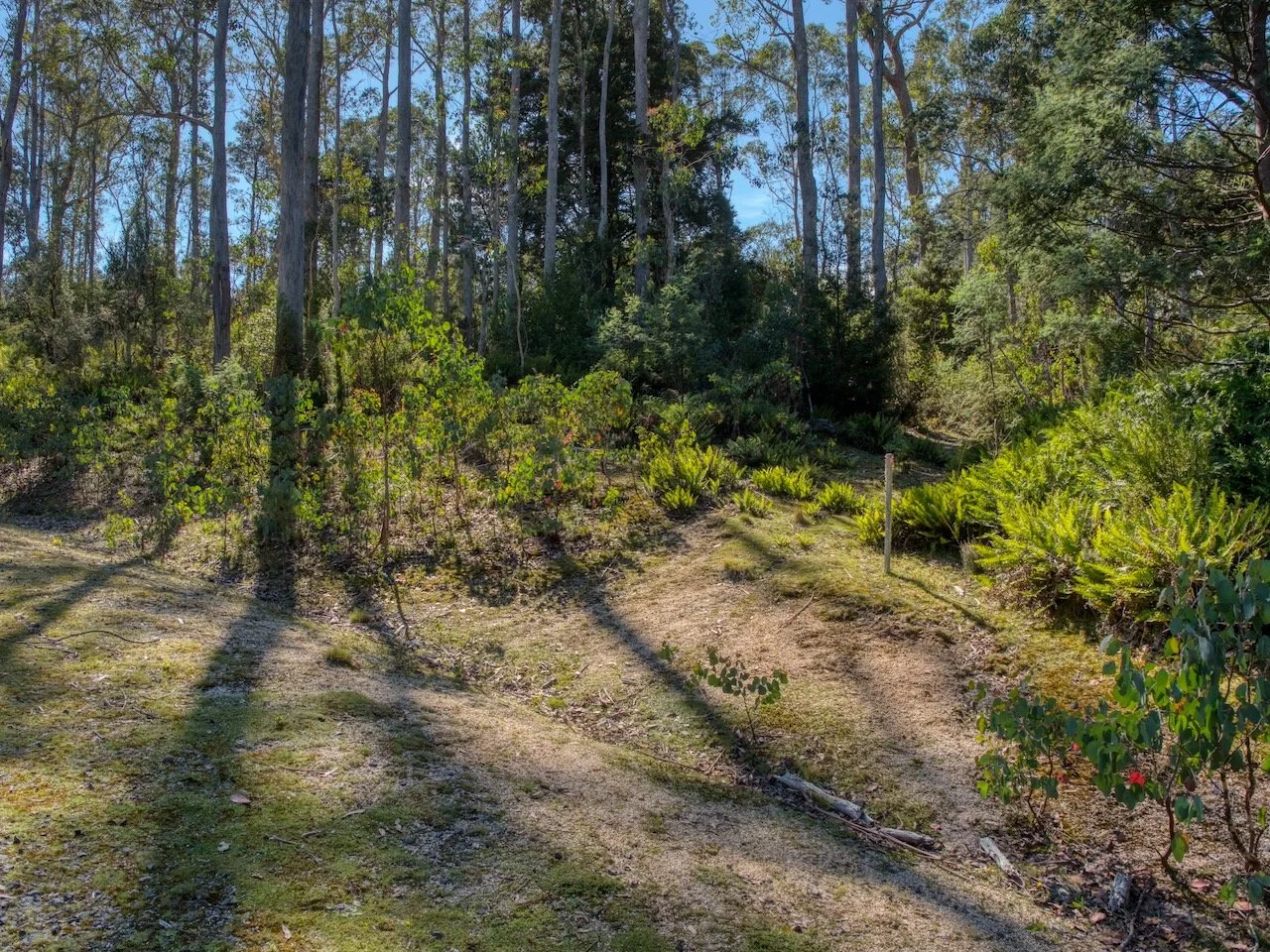
From here the trail starts to climb up hill through open forest for around another kilometre, before reaching a plateau that provides a view of the rather unexciting summit. However, this plateau is the home of some thickish, if short-lived scrub, before the final ascent to the summit.


The summit is marked by a trig, without which it wouldn’t be obvious, as the summit itself is a broad plateau with no real prominence. However, there are good views of the surrounding Abels from this vantage point.


All up, the return walk from the car took me 4½ hours, including a lunch break on the summit, with a total distance of 19km and an elevation gain of 511m.