
Mt Olympus
I have long wanted to climb Mt Olympus, on the western shore of Lake St Clair. And for as long as I have wanted to climb it, Col has not!
But in mid-2025, Col and I bought a little sailing dingy, with a major intended use being to cross Tasmania's inland lakes and harbours as a means to access more wild placed. We've sailed Manuka a bit since we got her, but our first opportunity to take her away on a lake for an extended period was in March 2026, when we took her to Lake St Clair. Which in turn meant this was a perfect opportunity to climb Mt Olympus, as we could base ourselves on Manuka at Echo Point.
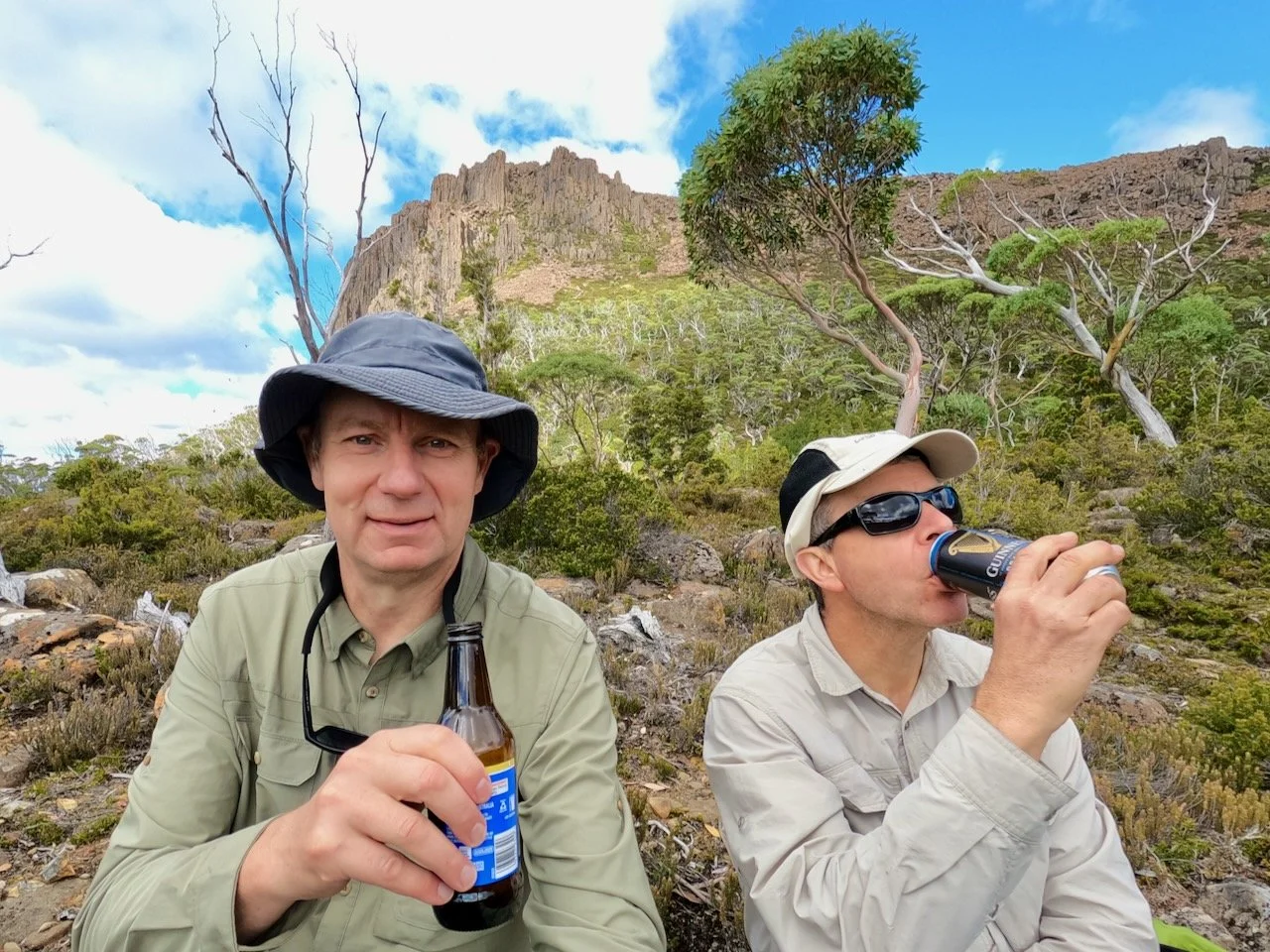
We drove up to Lake St Clair on Thursday the 19th of March and sailed up the lake to Echo Point, tying up on the opposite site of the jetty to where the ferry stops. We used this as a base for various activities around the lake, and it meant we were at Echo Point and ready for an early start the following morning.
Most accounts I have seen of people climbing Mt Olympus involve camping halfway up at Lake Oenone. However I was keen to try it as a day walk, as this would save having to cary heavy packs for part of the climb, and it seemed like it should be easily achievable, with The Abels advising the summit could be reached in 4 hours from Echo Point.
However, our attempt on the Friday didn't see us make the summit. Olympus is untracked and we followed a route that saw us battling thick scrub before reaching the mid plateau. As a result, we didn't have enough of the day left to make the summit and get back down. However, on the way backdown from the plateau, we found a much clearer pad, which we followed back up two days later to successfully complete the climb.
The Stats
Distance: 14km (return from Echo Point)
Time: 9 hrs 20 mins (inc. breaks and lunch on the summit)
Elevation gain: 732m
The Route
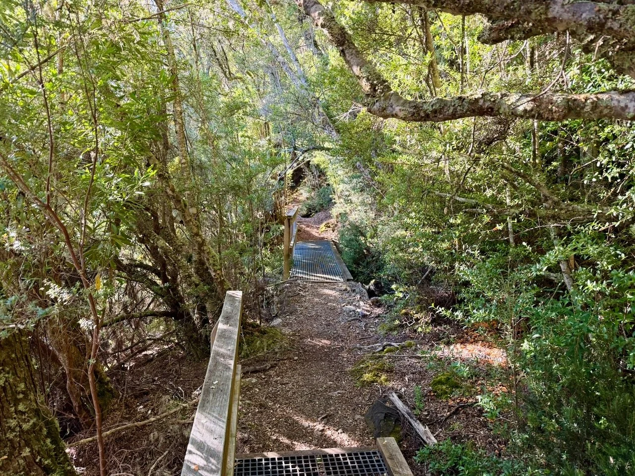
Starting at Echo Point, the route starts north along the Overland Track. Not quite 2km north of Echo Point you cross several bridges over streams that are quite close together and immediately after will encounter a small cairn and a pad that leads up the mountain.
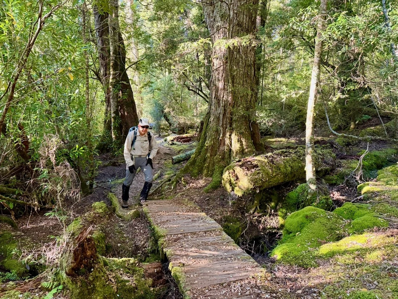
While the route up Olympus is untracked, it is obviously reasonably popular, as the pad is quite obvious at this point. It is very decidedly uphill from this point, and you soon encounter banks that need to be climbed up.
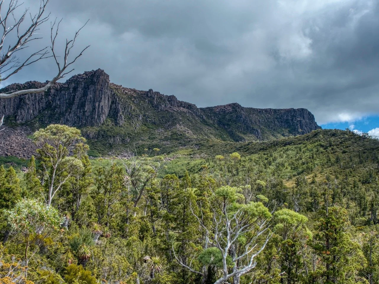
Then only a few hundred metres further on you encounter a small cliff that has to be climbed YouTube short.
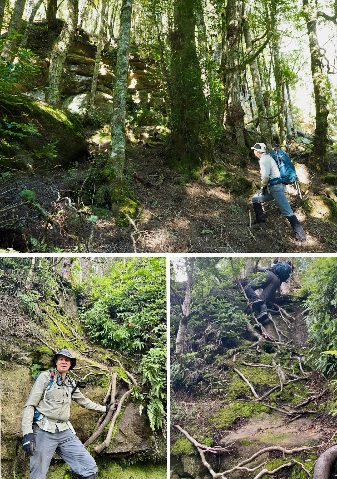
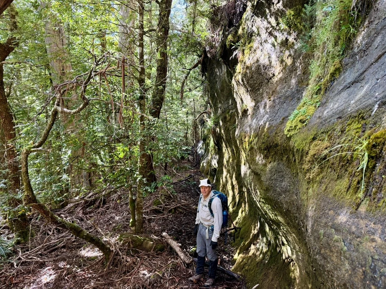
After this, the route continues steeply with several further small climbs, until another cliff is reached about a kilometre further on (at about -42.035940, 146.122320). This is were we made a mistake on our first attempt.
On the first attempt, following what appeared to be the obvious route, a gpx track I'd made from Gaia GPS's public tracks, and some tape we found along the way, we made our way right along the bottom of the cliff.
Too far along the base of the cliff to the right from where we came up.
As we continued along, we couldn't find an obvious path up, but after backtracking a little we found an area where it was an easy climb (only about 20 metres from where we had come up), and at the top of this some more tape.
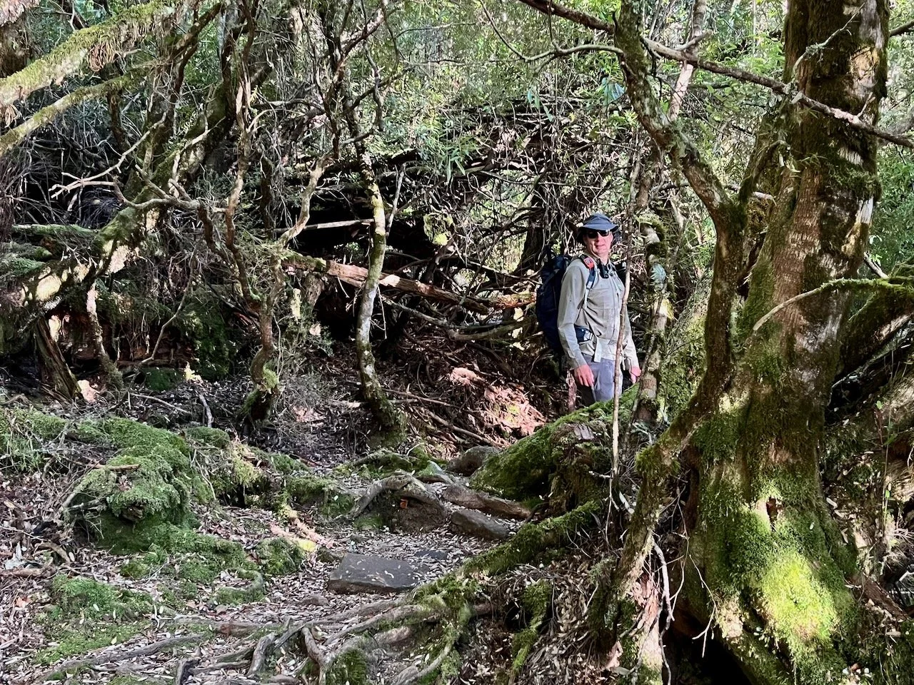
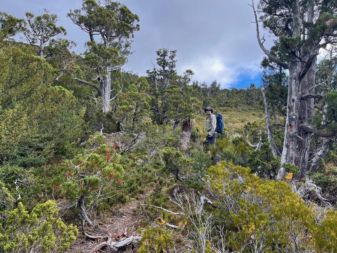
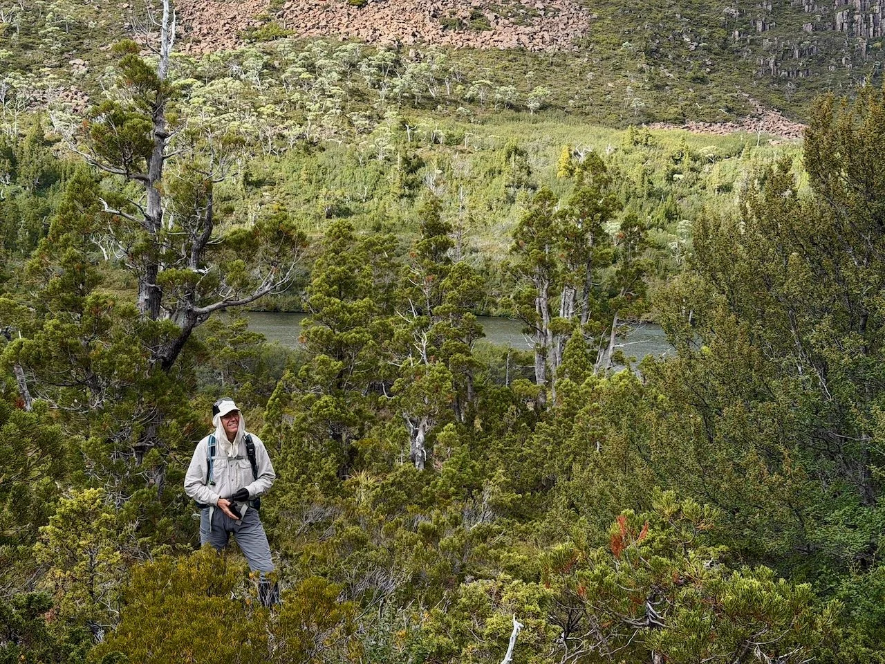
However, this taped route takes you through thick scrub, and it wasn't long before we lost the route entirely. We spent several hours bashing through scrub unable to reacquire the taped route – although there were sections were progress was easier than at others. Ultimately, we were able to find our way up to the mid-plateau below Lake Oenone.
The map below shows where we went wrong. The lighter green lines are Gaia's public tracks, the darker green line is the route I thought we should take based on these public tracks, and the orange is the route we did take up. Where we made our mistake was at the red star. Here, instead of going to the right along the base of the cliff, we should have gone straight up, staying closer to the stream. The climb here is non obvious – although there is the appearance of a pad up the side of a waterfall, but the rock is so sheer and slippery that it looks foolish to try. But at the top of this, there is a clear pad that takes you forward and up to the mid plateau. On our successful attempt, we ended up climbing around a corner just to the right of this. The green star shows where we got back on track.
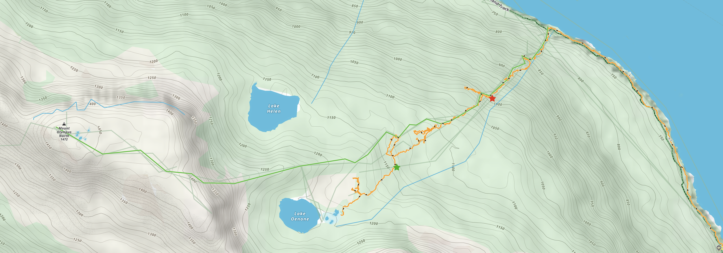
After reaching the mid plateau, we made another mistake on our first attempt. We stayed on top of the ridge we had come out on. But to get to Lake Oenone, you need to drop down into the little valley that is just to the north of that ridge and follow the little valley straight to the lake.
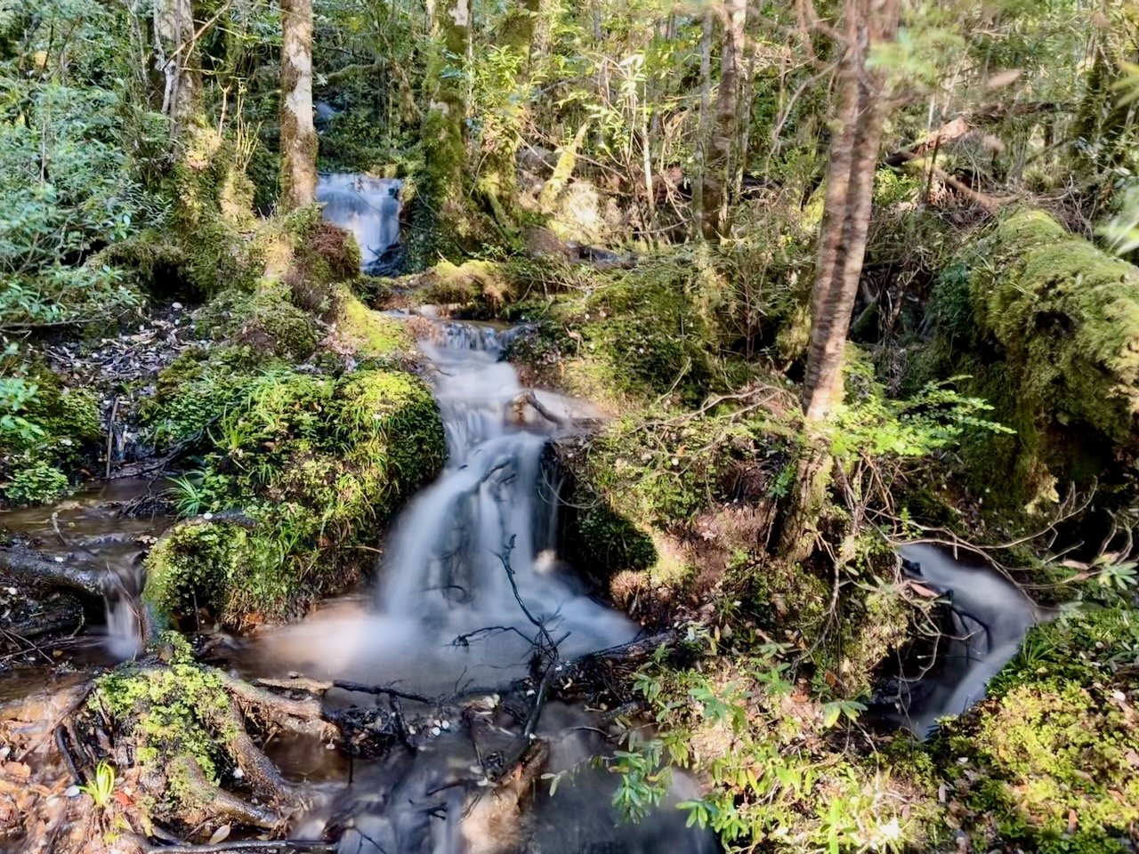
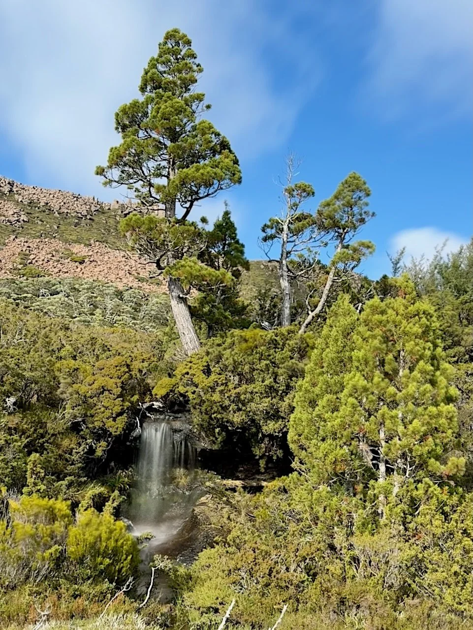
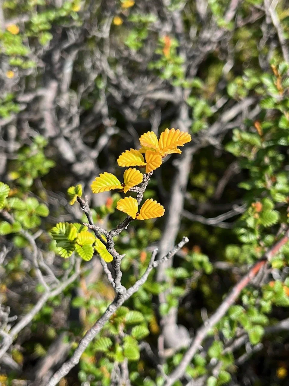
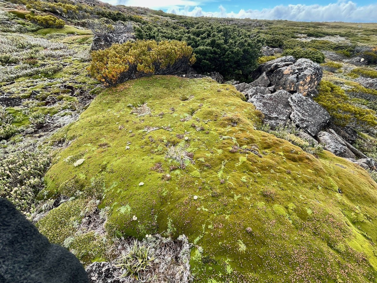
Prior to reaching the lake we encountered a gorgeous little waterfall flowing out beneath a pencil pine.
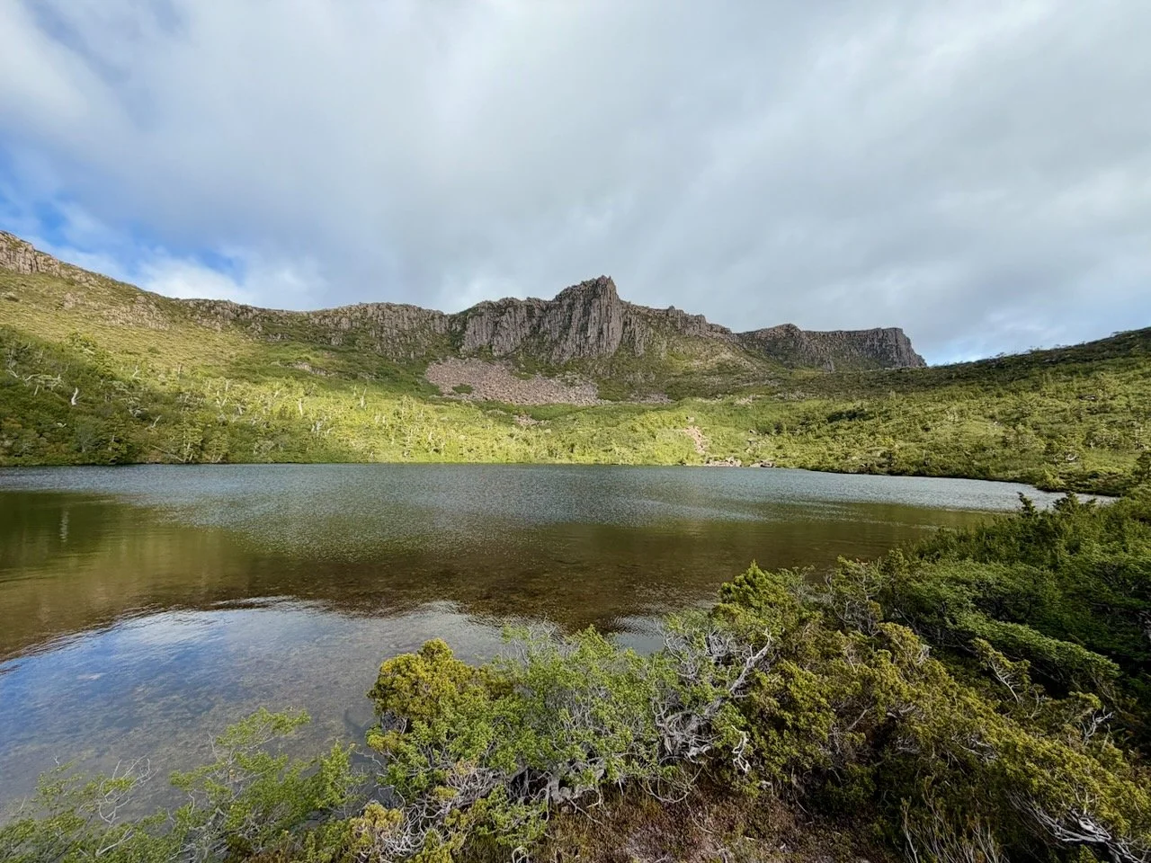
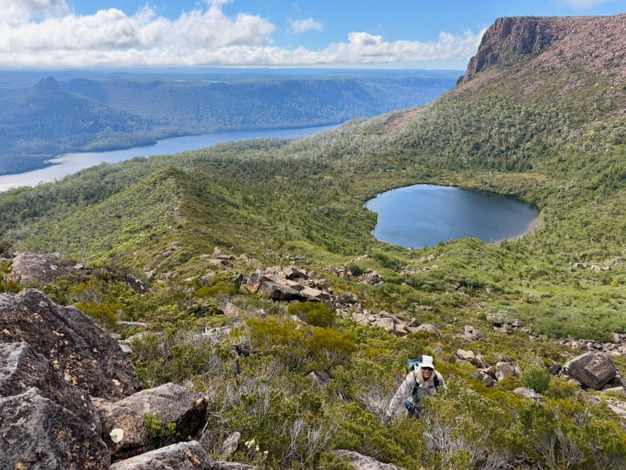
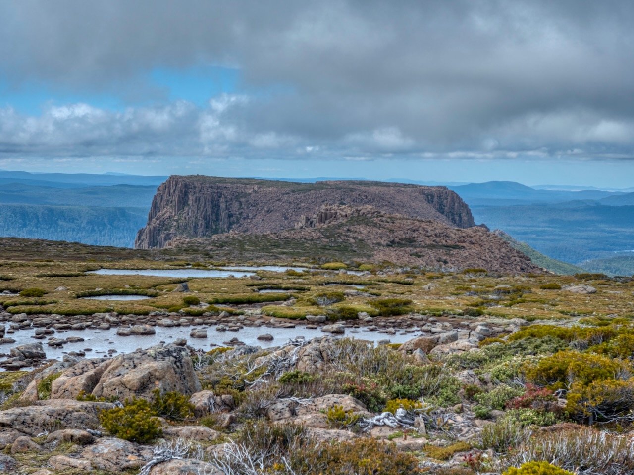
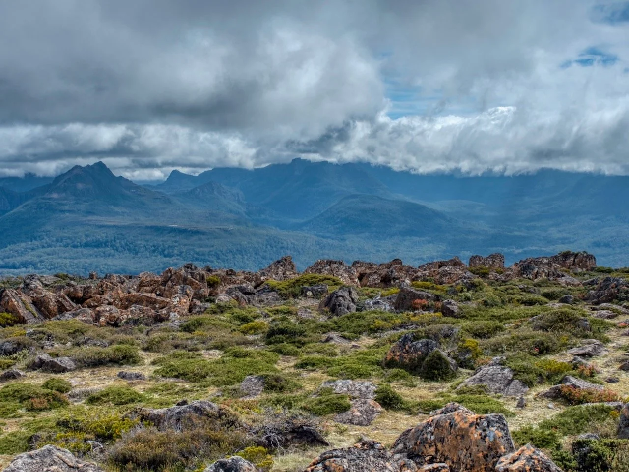
There is a decent area to camp on reaching Lake Oenone, which itself is quite large, and gives a great view ahead to Olympus's northern summit.
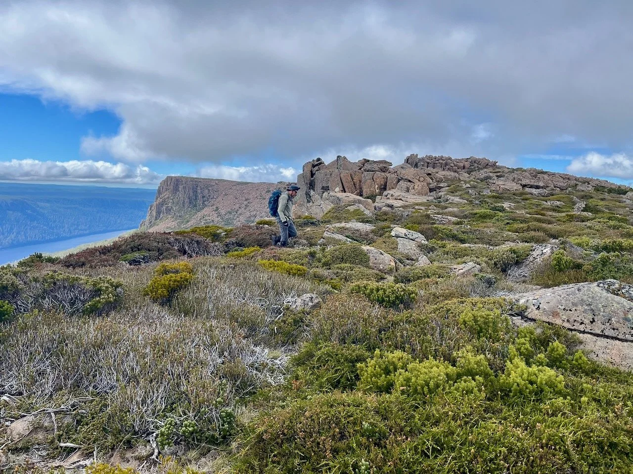
From here we followed the obvious pad to the ridge line to our north (although the pad diverges at points with there being multiple routes.
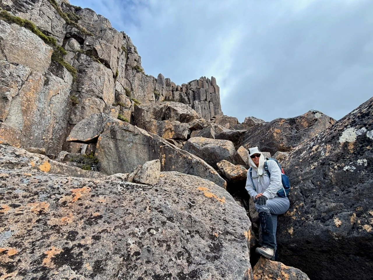
Once on the ridge line, you follow this up to the summit plateau.
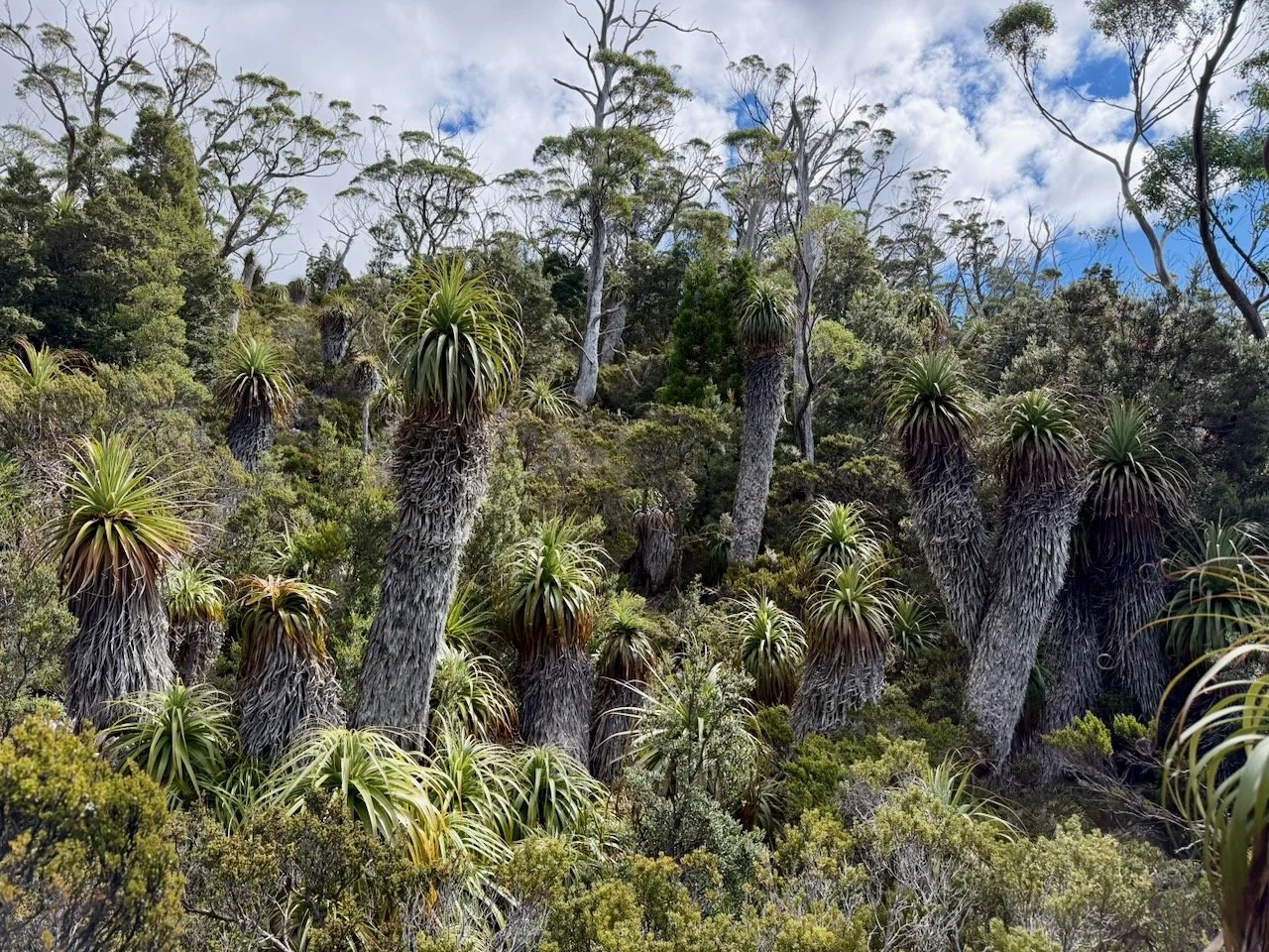
After climbing the scrubby ridge line for a bit, the terrain changes to boulders, with a cairned route guiding you through, until you reach the summit plateau.
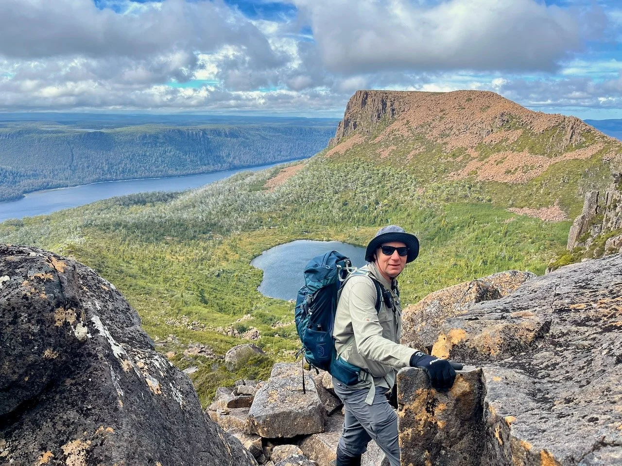
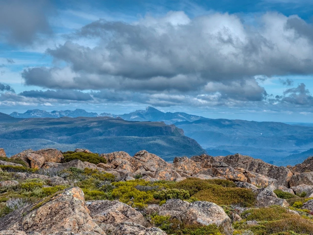
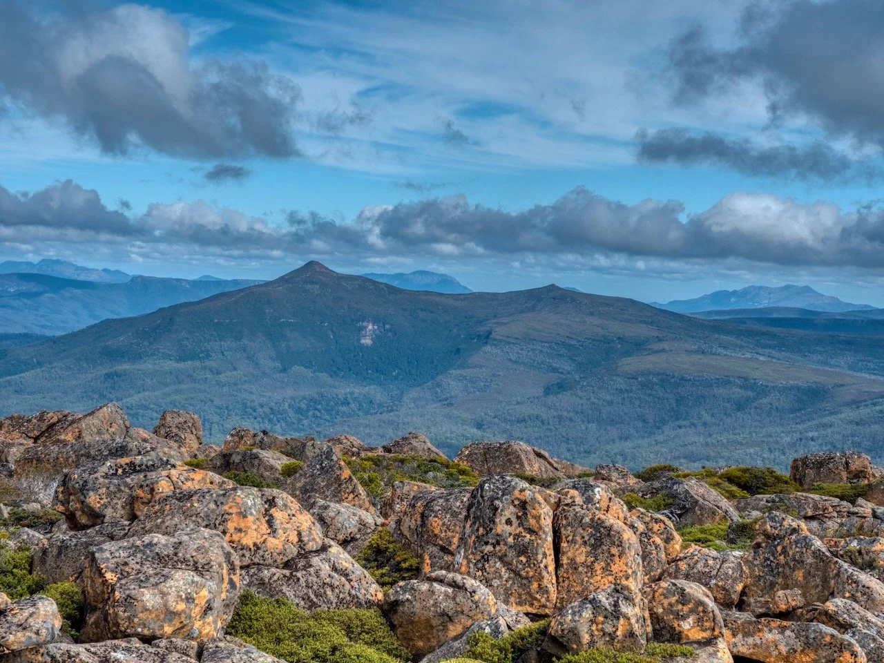
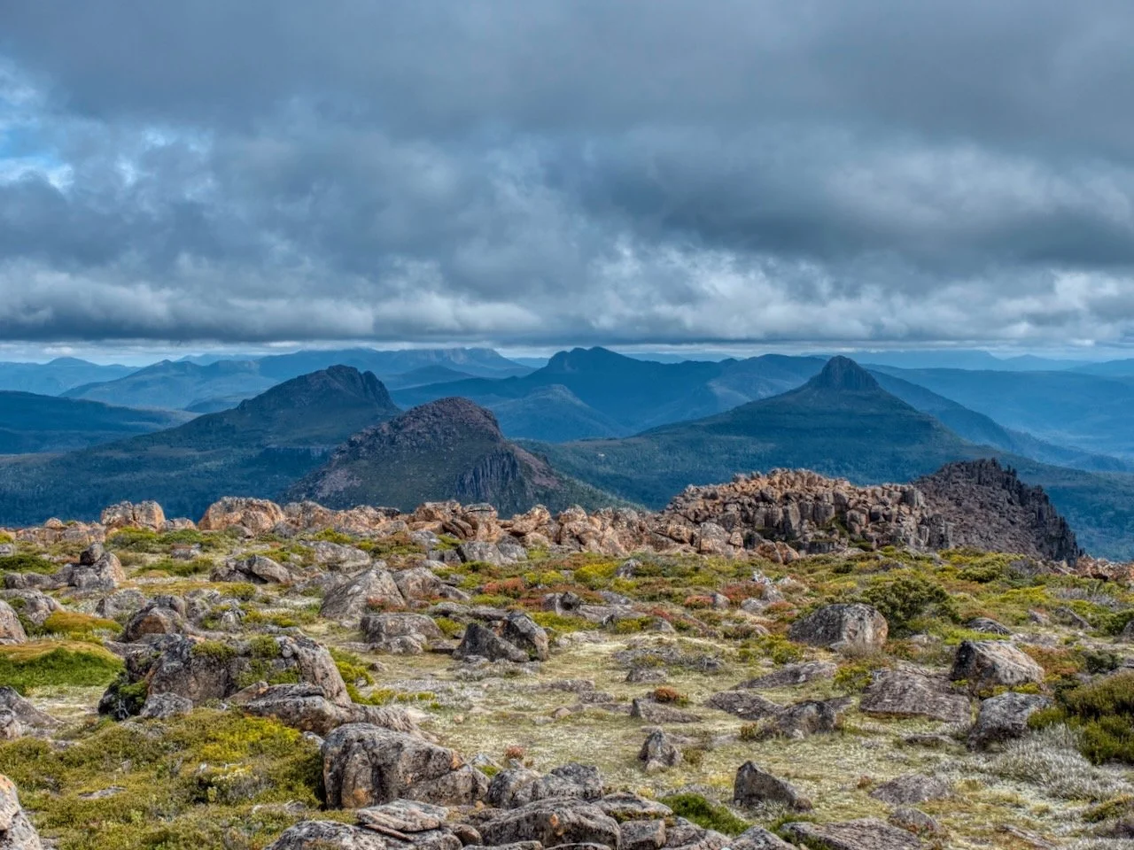
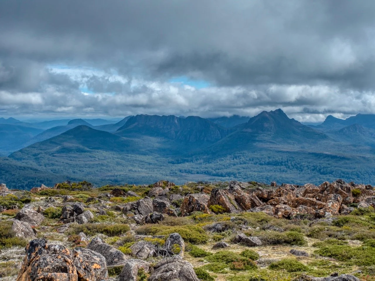
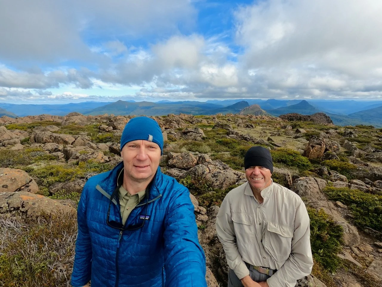
From here, there is still a bit of a trek across the plateau up a bit of a rise to the northeast to reach the summit, avoiding the copious cushion plants and tarns on the way.
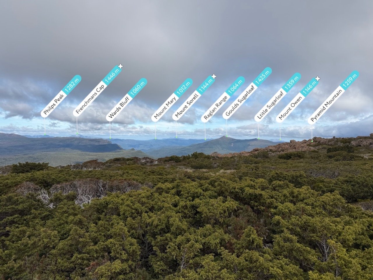
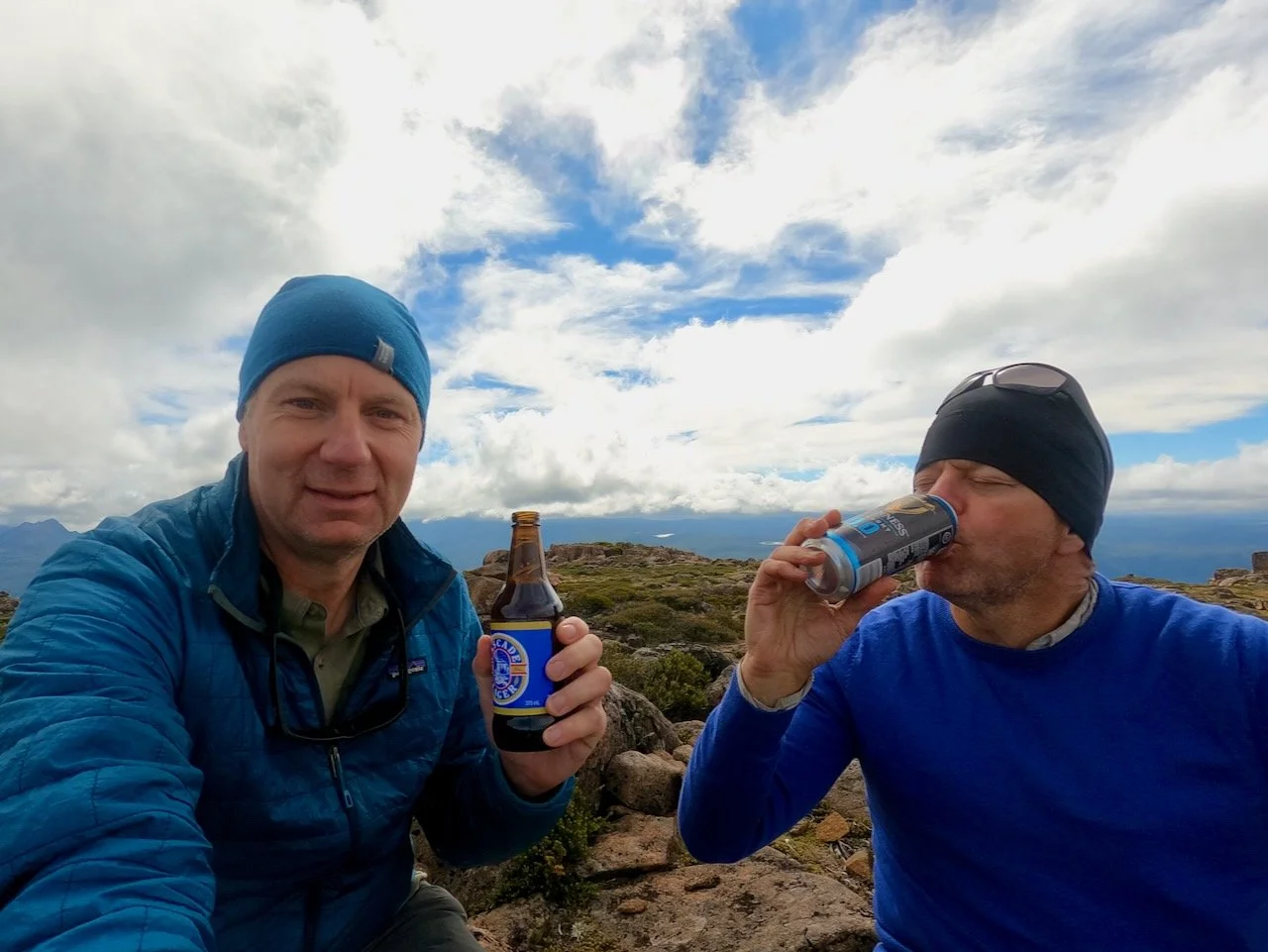
About 4.5hrs after we set off, we found ourselves at the summit cairn, from where we took in the view, being surrounded by mountains on all sides.
Our successful route to the summit is shown below: