
In mid-October 2026 I had some leave on my own and decided to seek out some Abels that I could do as solo day walks. In my very brief scan of options, I saw that Mount Jukes was reportedly a 5-hour walk, and without doing much more research than that, made the assumption it must be reasonably straight-forward. Plus, if I headed across to Queenstown to do it, I could also tick off the also straight-forward Mount Owen.
Mount Jukes turned out to be a fantastic walk, but definitely not one I’d describe as straight-forward!
The Stats
Distance: 6.9km return (for the route I took)
Time: 6 hours (including breaks / lunch)
Elevation Gain: 593m
Location
Mount Jukes is located south of Queenstown on Tasmania’s west coast. The trailhead, near the Mount Huxley Lookout, is about a 20-minute drive out of Queenstown on Mount Jukes Road (a continuation of Conlan Street and then Lynchford Road as you head south from Queenstown).
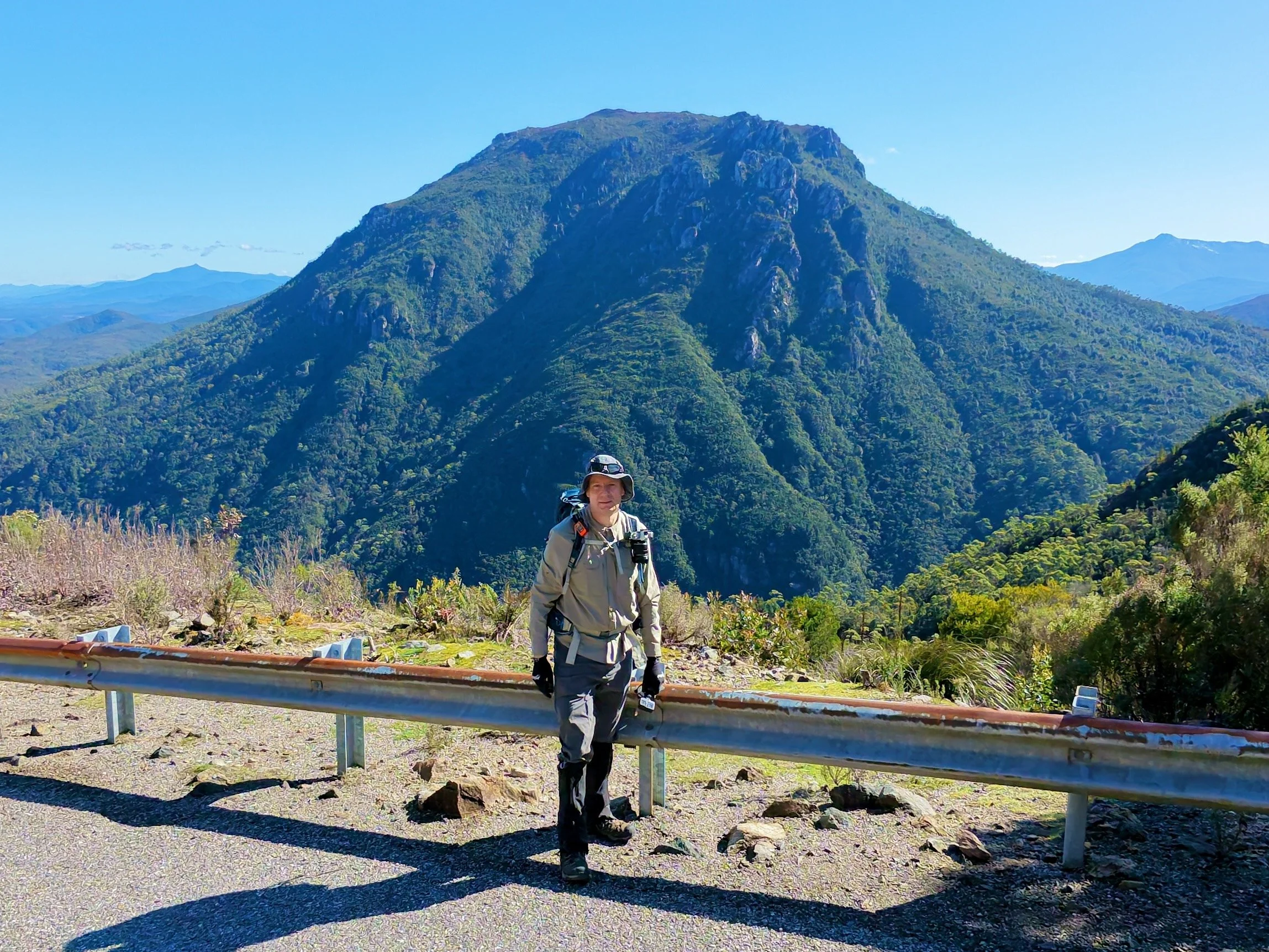
At the Mt Huxley Lookout on Mount Jukes Road, with Mt Huxley behind.
The Track
Mount Jukes is untracked, and although apparently frequently visited, the route up the lower slopes can be confusing. It appears walkers have taken a variety of approaches to the lower slopes, leaving several cairned and taped routes. This creates some confusion for route finding on the ground, which is exacerbated by some of these routes being very sporadically marked. Adding to this, the lower slopes of Mt Jukes have also been subject to gold and copper prospecting, which has added additional routes and markings that are unrelated to the climb.
I started my walk at a well-defined taped route off the road, although this was further south along Mount Jukes Road than where the AllTrails route started.
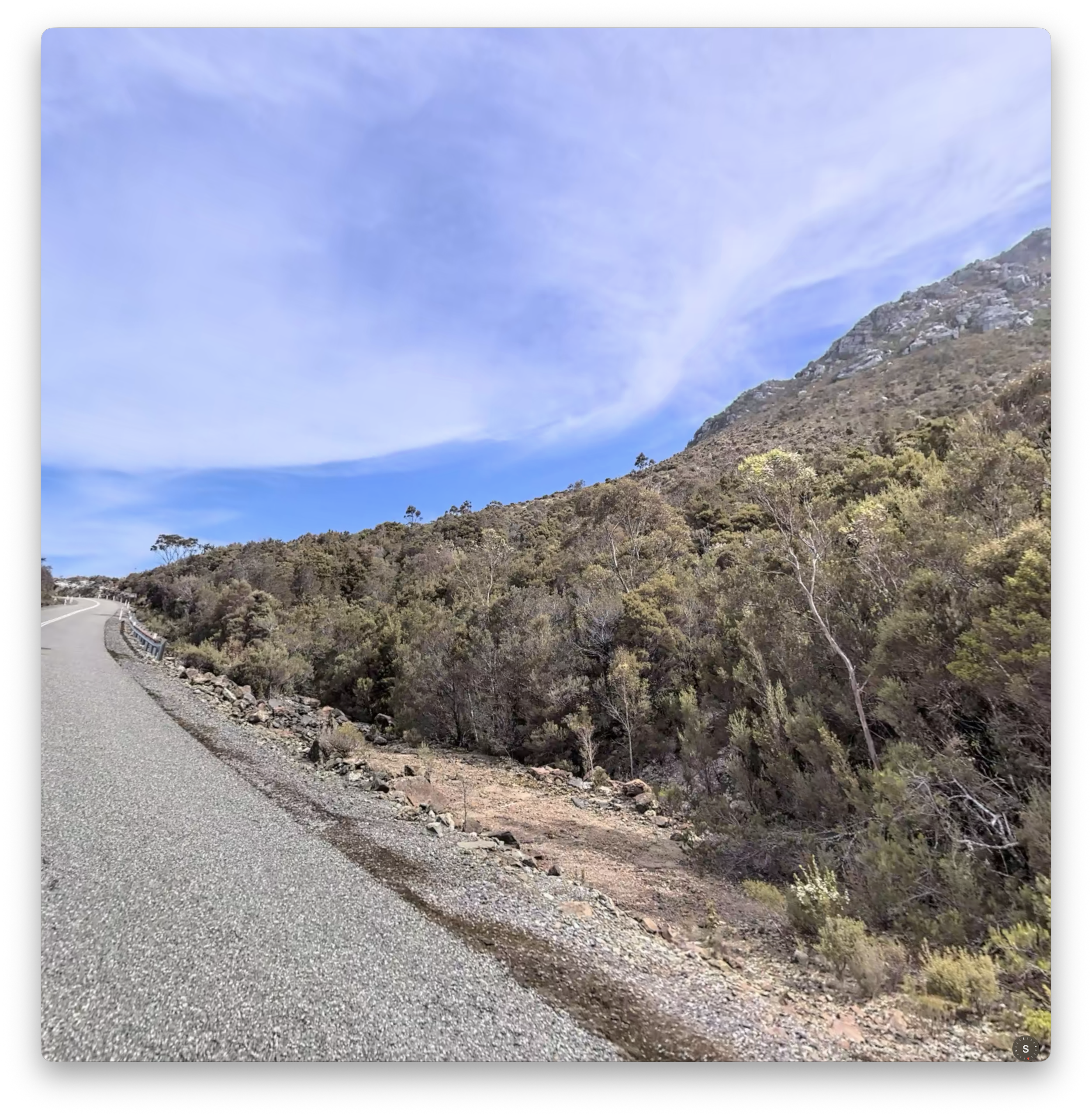
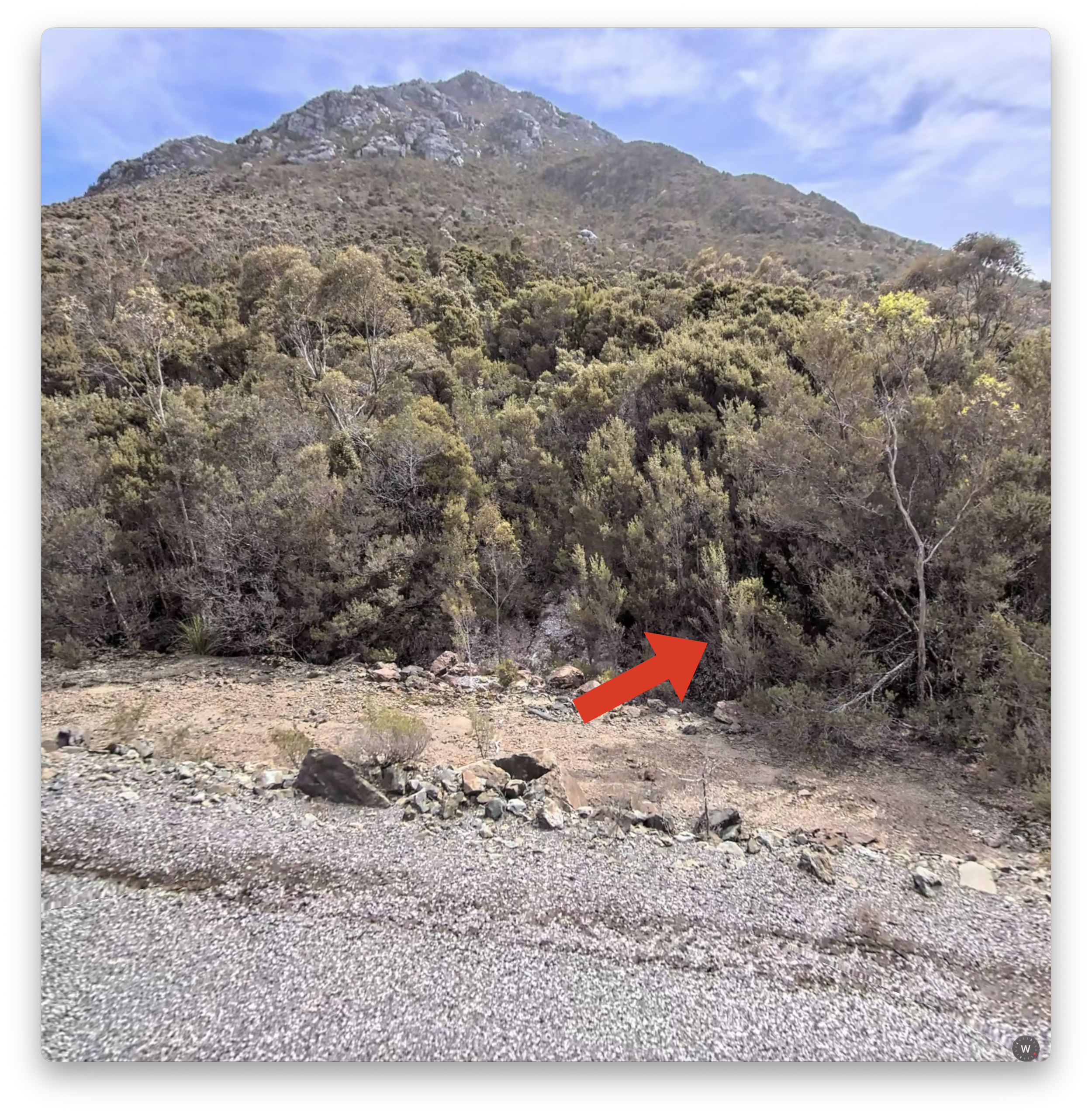
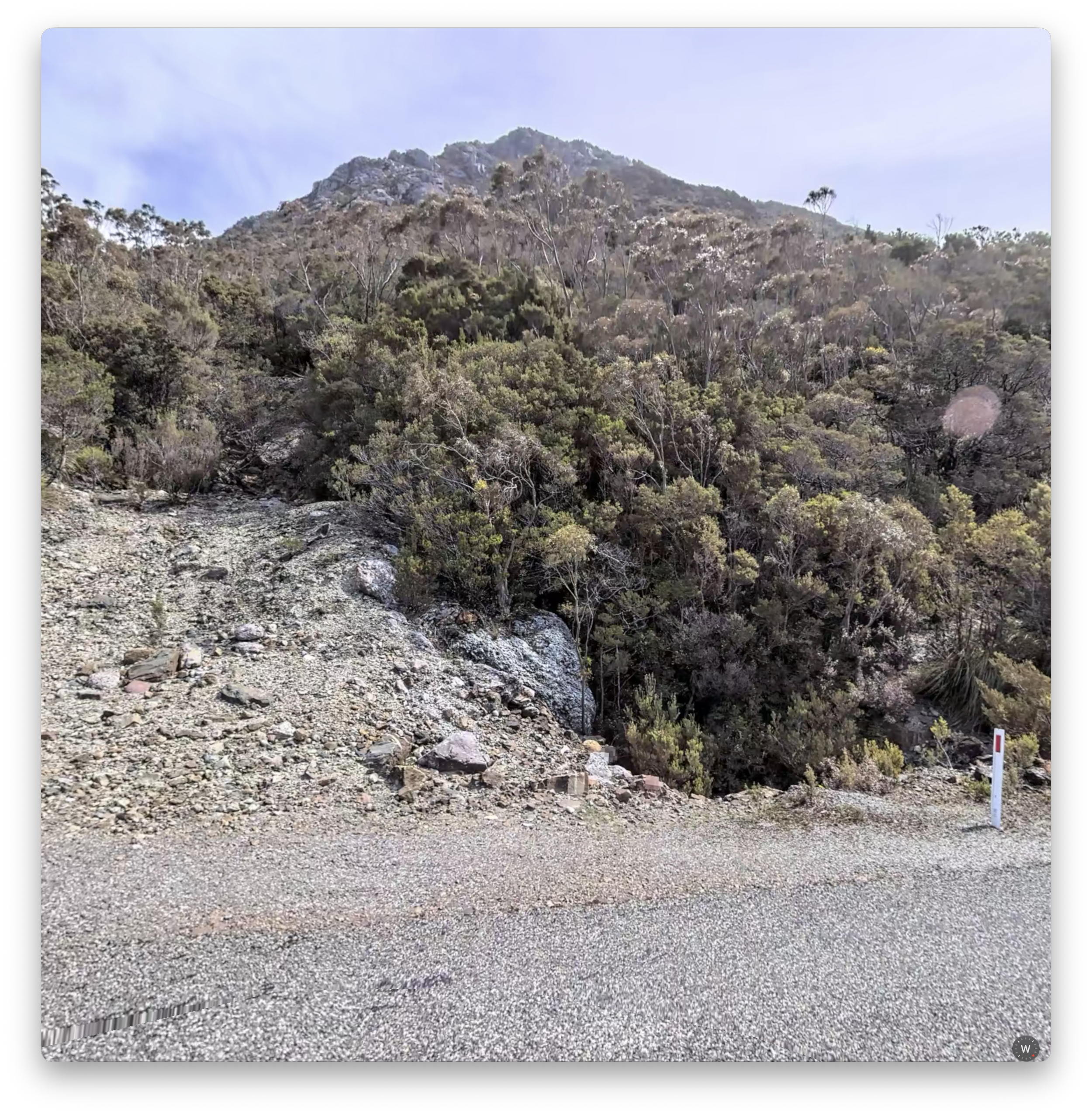
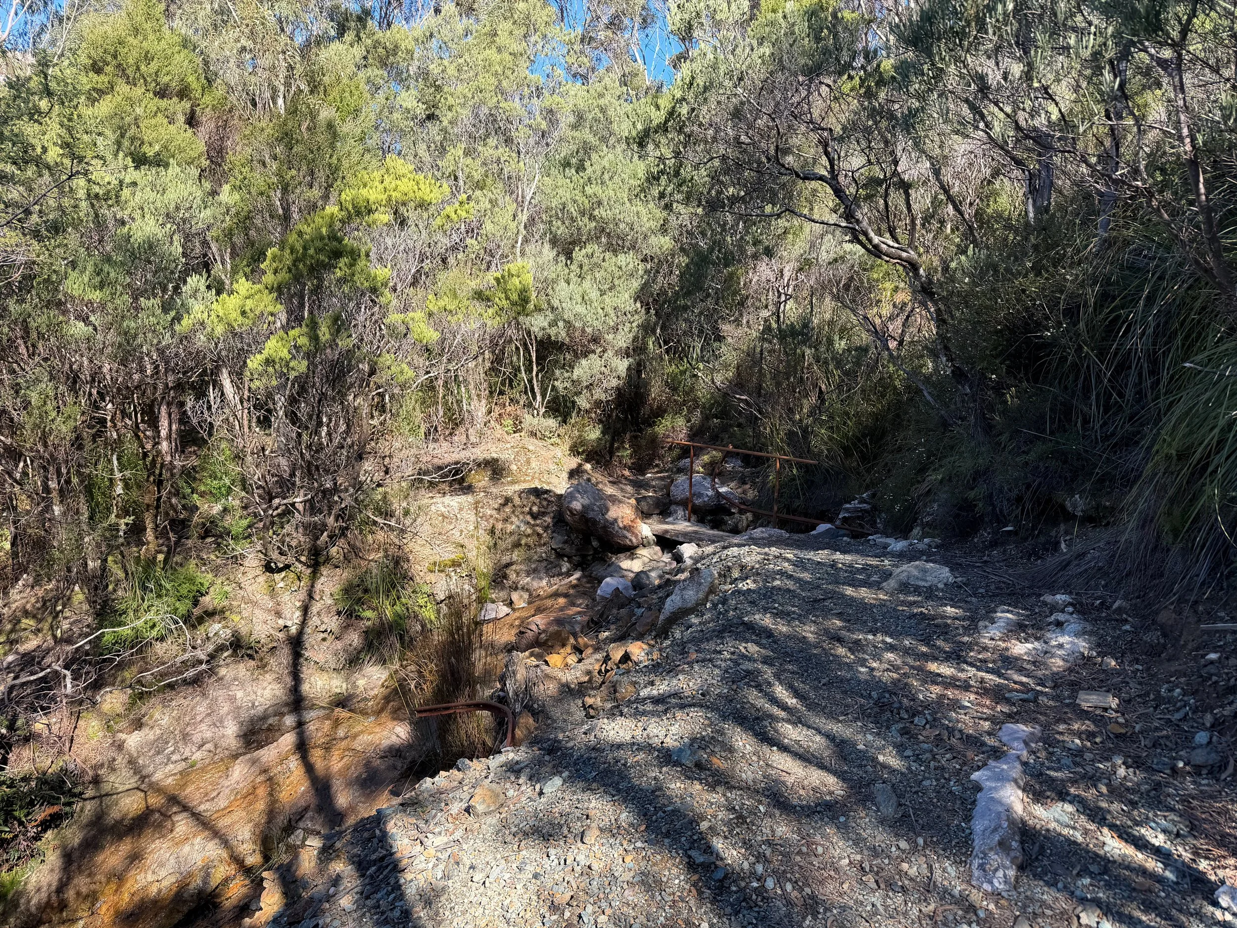
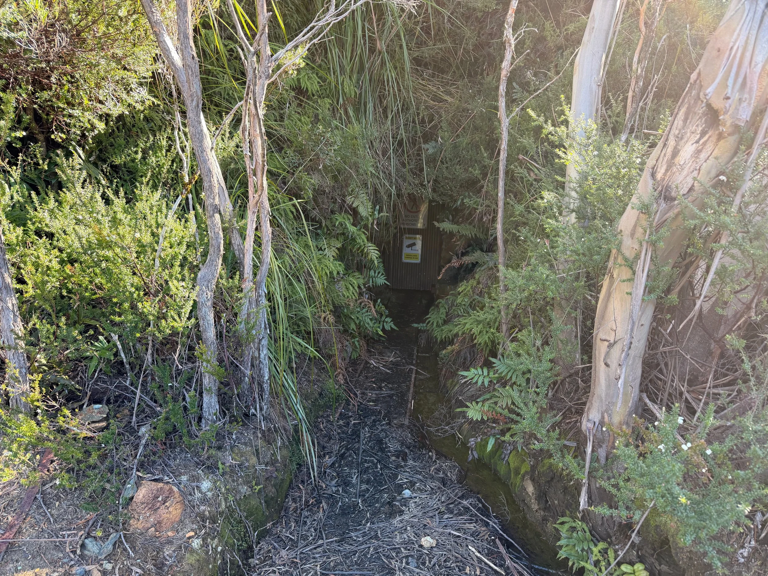
Coming back down, I came out further to the north along Mount Jukes Road, beside a creek, with this route initially leading up to a mining tunnel (with this route matching the AllTrails route).
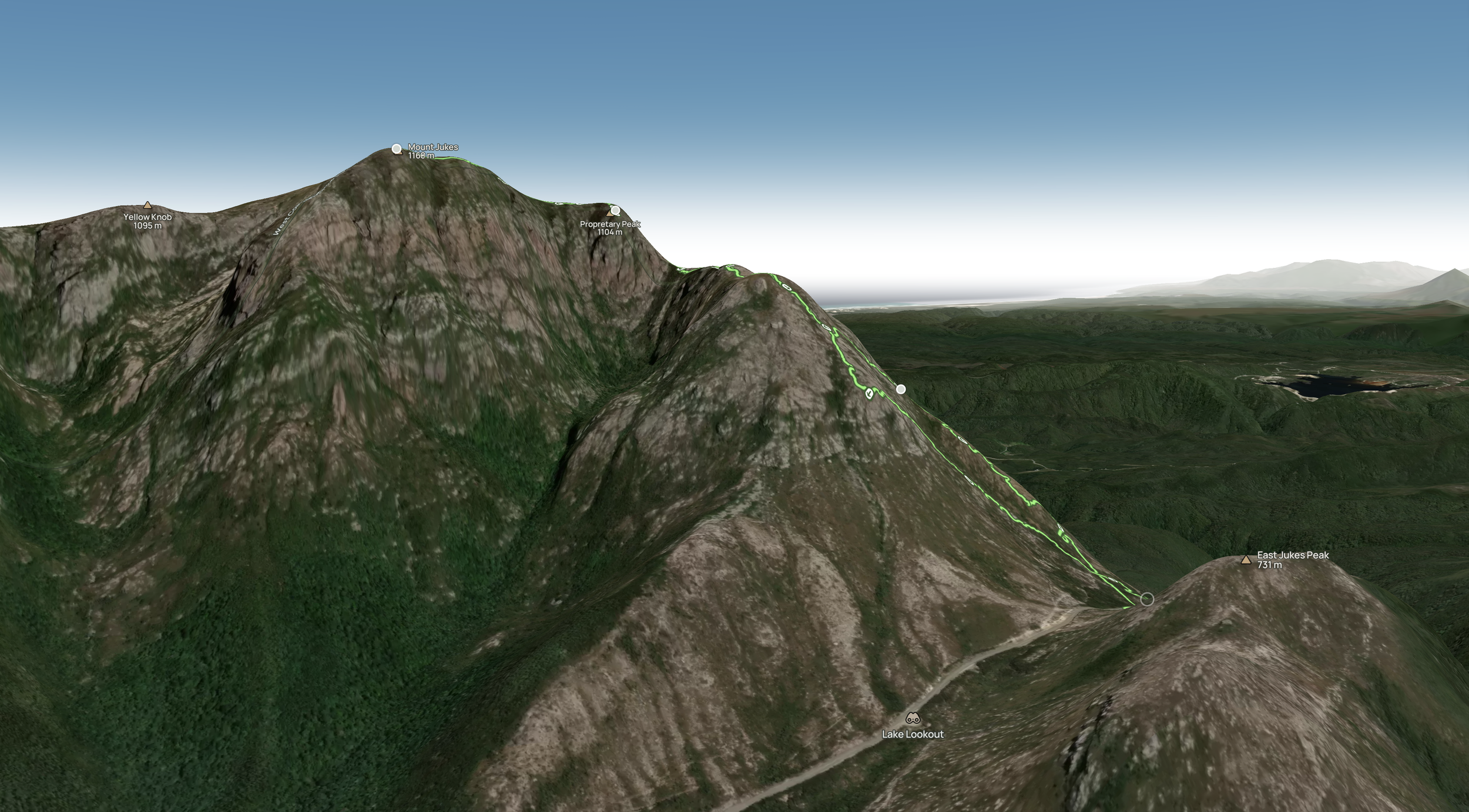
In my lack of preparation, I had also failed to appreciate that the climb Mount Jukes consisted of an initial climb, a narrow ridge traverse, and then another climb to Mount Proprietary before a straight-forward ride walk to the summit of Mount Jukes. Looking at the 2D map, I’d missed the mid-climb ridge traverse. This was spectacular, but an undertaking I would have preferred to do with someone else rather than on my own.
The Initial Climb
After commencing my walk further south along the road than the AllTrails route, my initially well-cleared and well-taped route through the bush headed west. It crossed the creek about 20 metres upstream of the AllTrails route and very shortly after crossed the AllTrails route without me noticing it. Around this point, I was confronted with an embankment that I had to scramble up, and at the top I was into more open ground with no further indications of the route ahead.
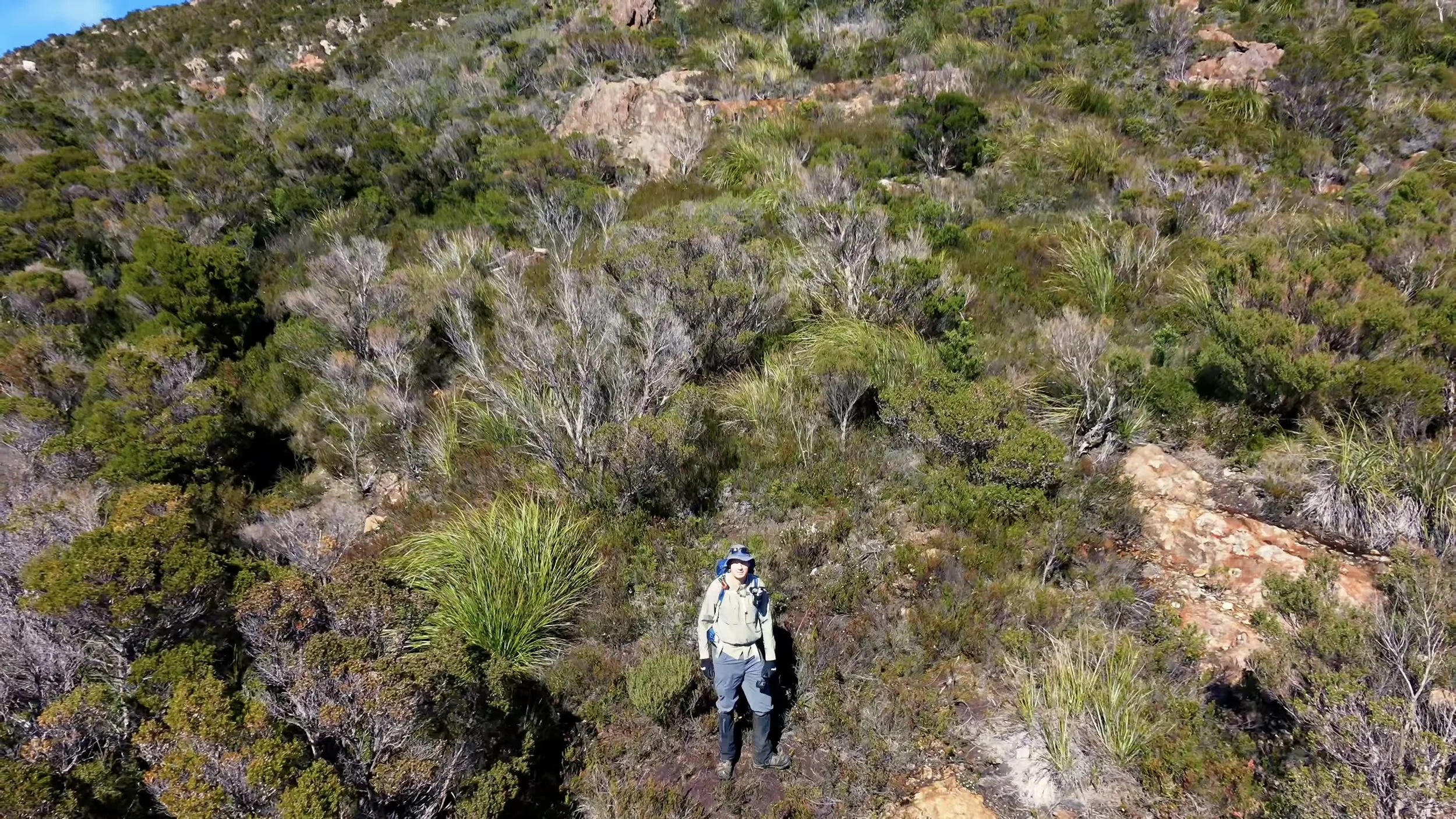
I searched around for markers without success and ultimately decided to just keep heading up the relatively clear ridge, incorrectly believing the initial climb (which I could see the top of) took me to Proprietary Peak. This route paralleled the AllTrails route, but about 50m to the northwest, with the AllTrails route being in the gully closer to the creek line through the bush.
As I made my way upwards, I would occasionally encounter cairns, but usually without the next being visible ahead, meaning I wasn’t on a well-defined route, even if the occasional cairn did serve to reassure me.
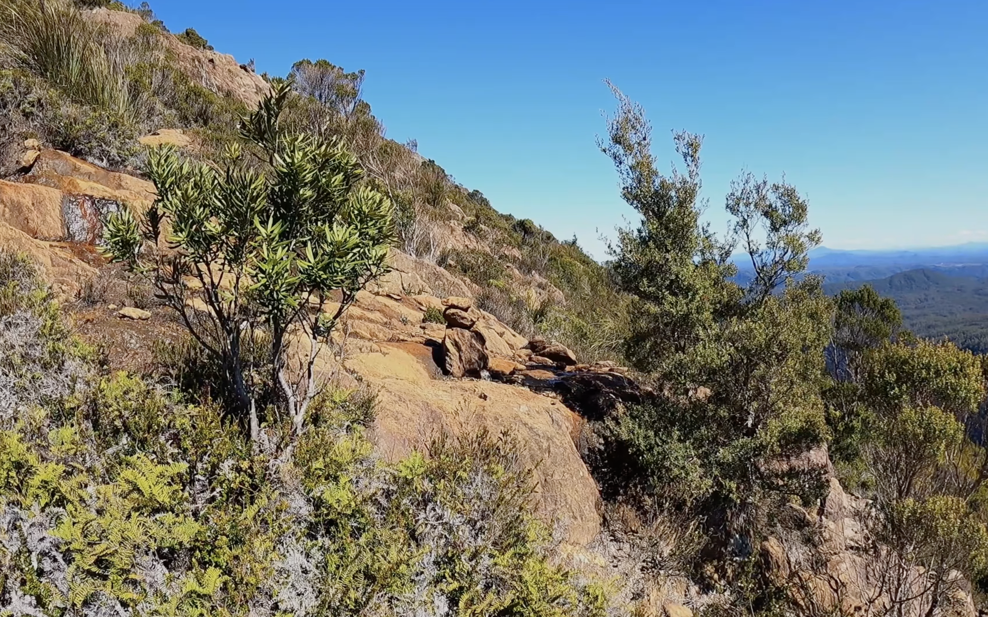
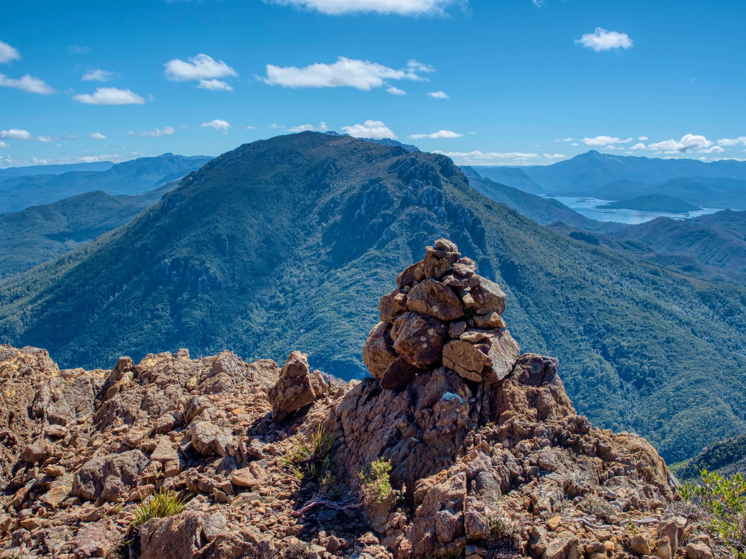
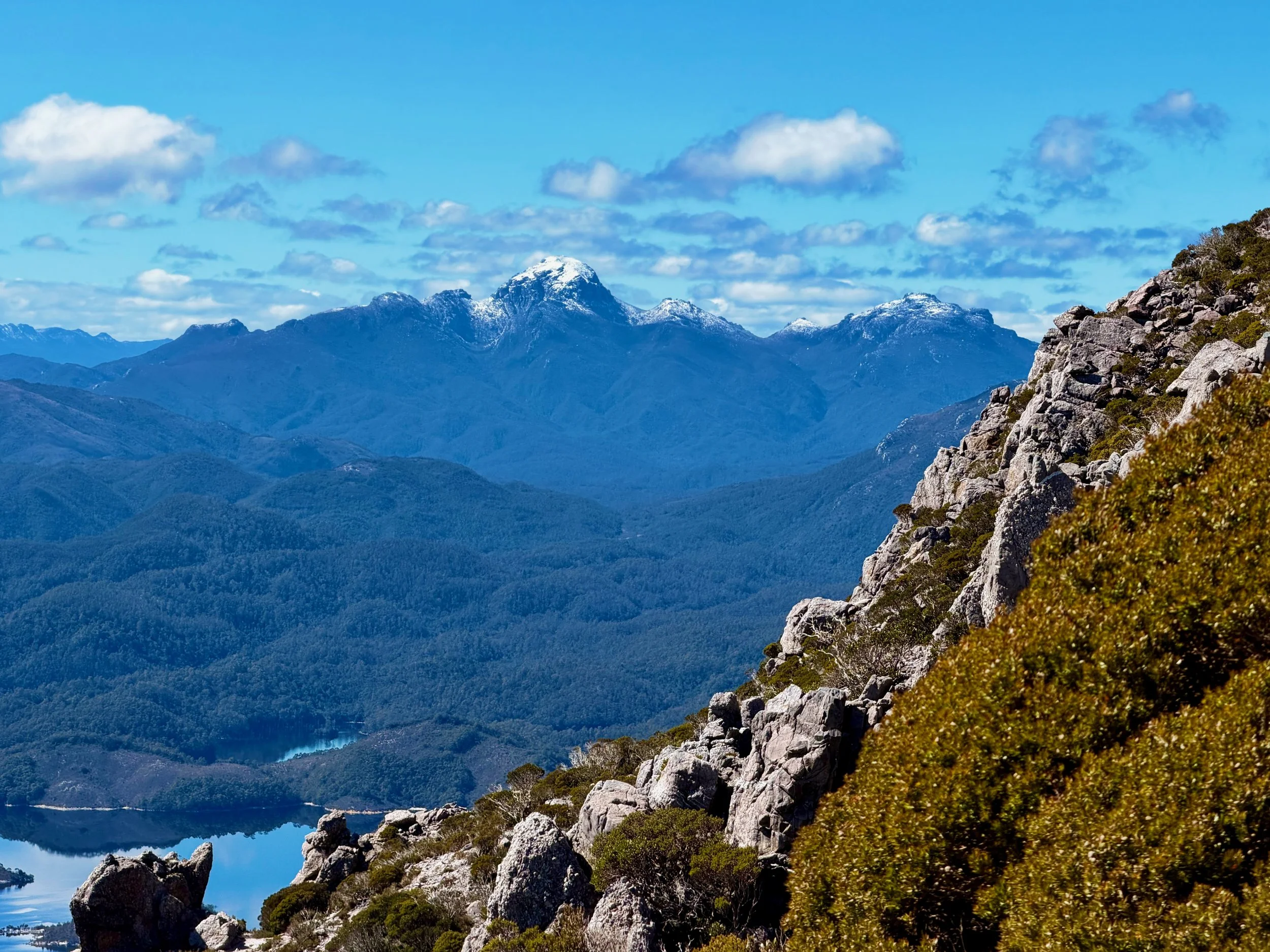
As I climbed, I had spectacular views of the mountains to my north and east, including a snow-capped Frenchmans Cap.
About 1.5km in, and just over an hour’s walking, I found some tape tied to some scrub on the ground that appeared to be a more well-trodden pad, although the pad was perpendicular to my climb up the hill. I initially followed this to the right (west northwest), and it was indeed a well-marked route with sawn-back shrubs and regular taped markings. However, after a hundred metres or so it appeared to be heading downhill towards Mt Jukes Road, but much further north than where I had started (?).
I retraced my steps to where I had first encountered the pad and assessed if I should follow it in the other direction. However, it appeared to peter out. So instead, I simply continued my climb upwards. As I climbed, I came upon a shallow shrub-filled gully.
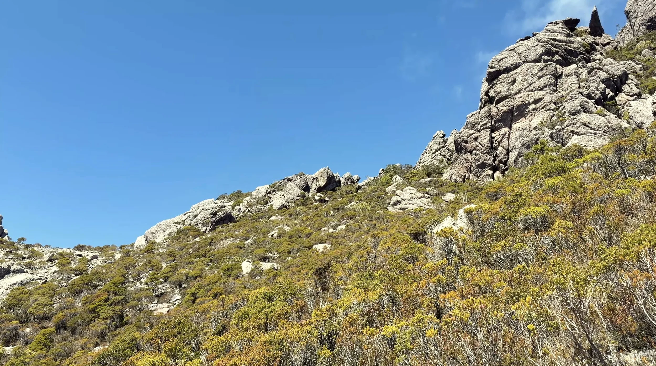
The ground to my right was too high to climb, so I started picking my way through the right-hand side of the gully to continue my way forward, and while doing so observed some pink tape on a tree ahead. I made my way through the scrub to the southeast and ended up joining the AllTrails route slightly below the summit of the initial climb. On this small plateau, I found a cairn that marked the AllTrails route down.
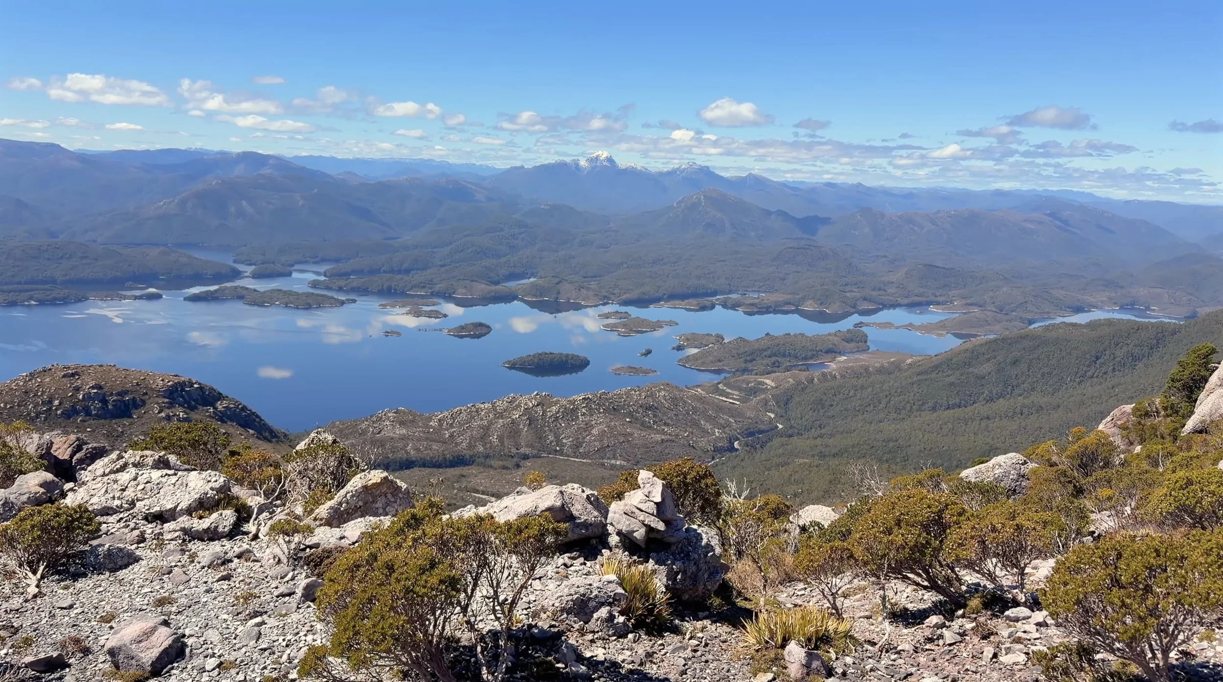
Ahead of me, I was able to follow a well-marked pink tape route to the top of the initial climb.
At the top of this climb I realised that Proprietary Peak was still well above me, and that between me and it was a narrow ridge line traverse.
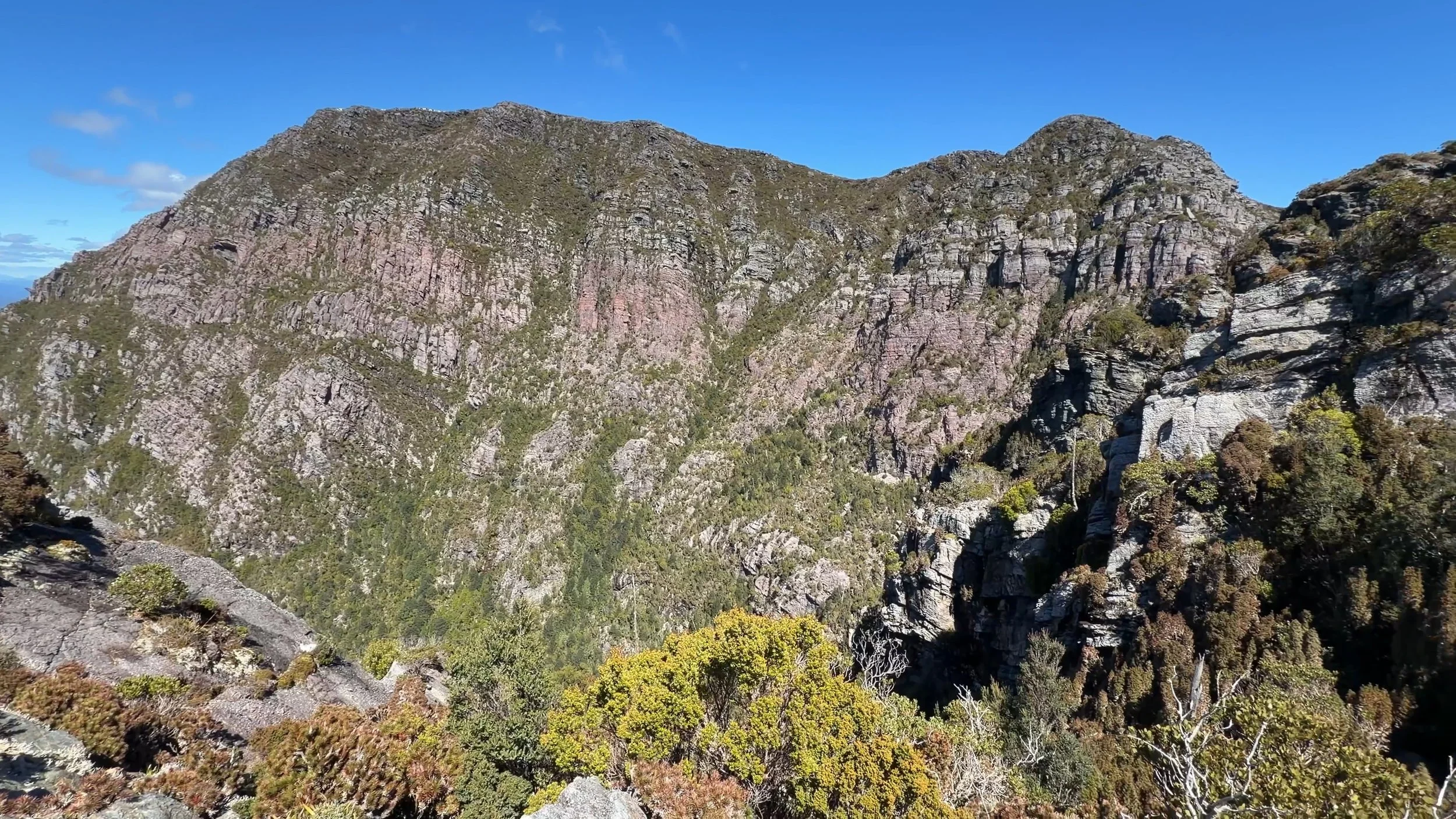
At the top of the initial climb, with Mt Jukes (left) and Proprietary Peak (right) still above me.
I didn’t get any photos or video while crossing the traverse, but Rockmonkey Adventures has a good photo of the crossing on her blog. Although, I did take a distant photo of it from further up the mountain, but it doesn’t do it the justice that Becca’s photo does.
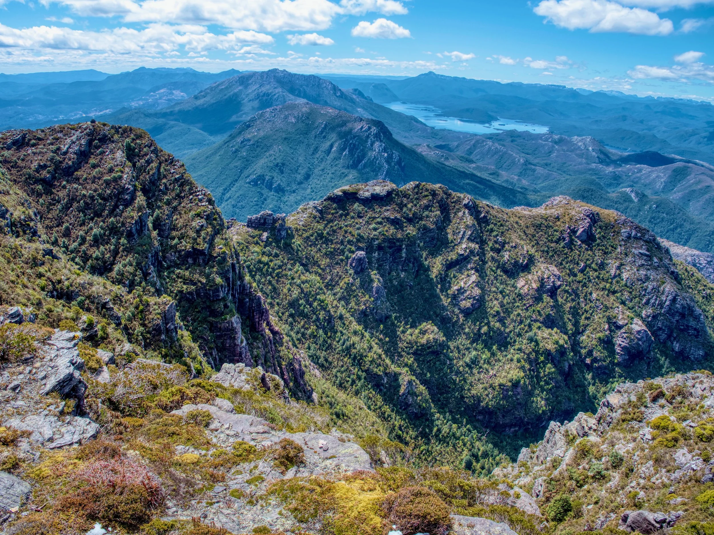
A more distant view of the ridge line traverse from above. See Becca’s photo for a closer shot.
After crossing the ridge, there is a steep (near vertical) 80m climb up to the higher ridge, for a short traverse across the ridge line to the beehive cairn marking the summit of Proprietary Peak.
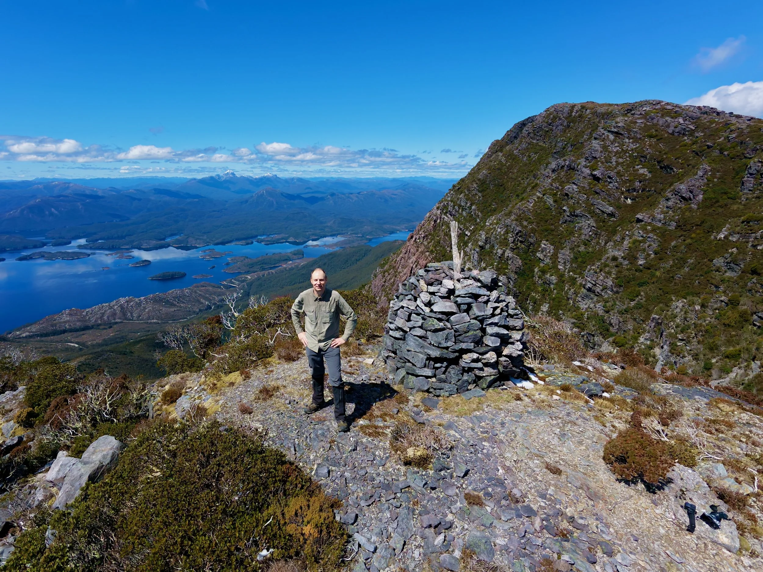
Summit of Proprietary Peak, with Mt Jukes behind.
It had taken me three hours to reach this point, which left me a little concerned about what I thought was only meant to be a five-hour walk. I had some lunch here while I took in the views and then continued on the more gentle uphill ridge walk to the summit of Mount Jukes. This only took me about 30 minutes to do the final 700m of the walk, with regular deposits of snow from earlier in the week in crevices that protected it from the sun.
The view from the summit was spectacular—perhaps the best mountain views I have had on any walk—no doubt assisted by the amazing weather.
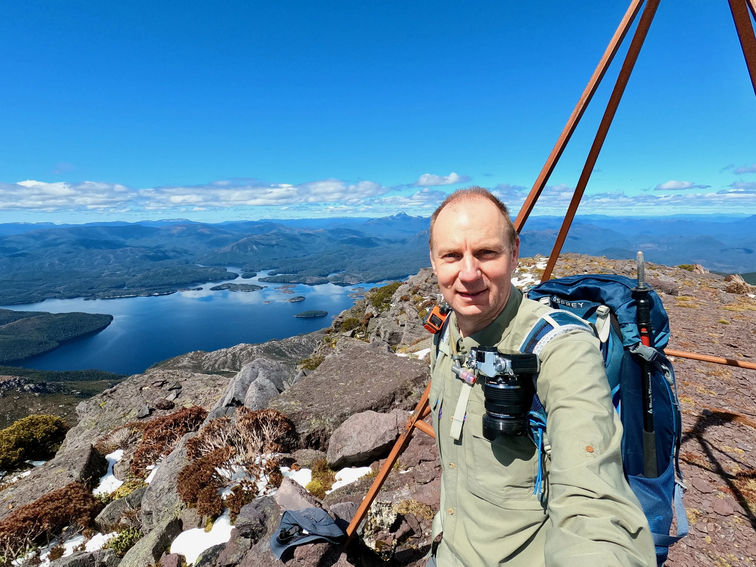
On the summit of Mt Jukes.
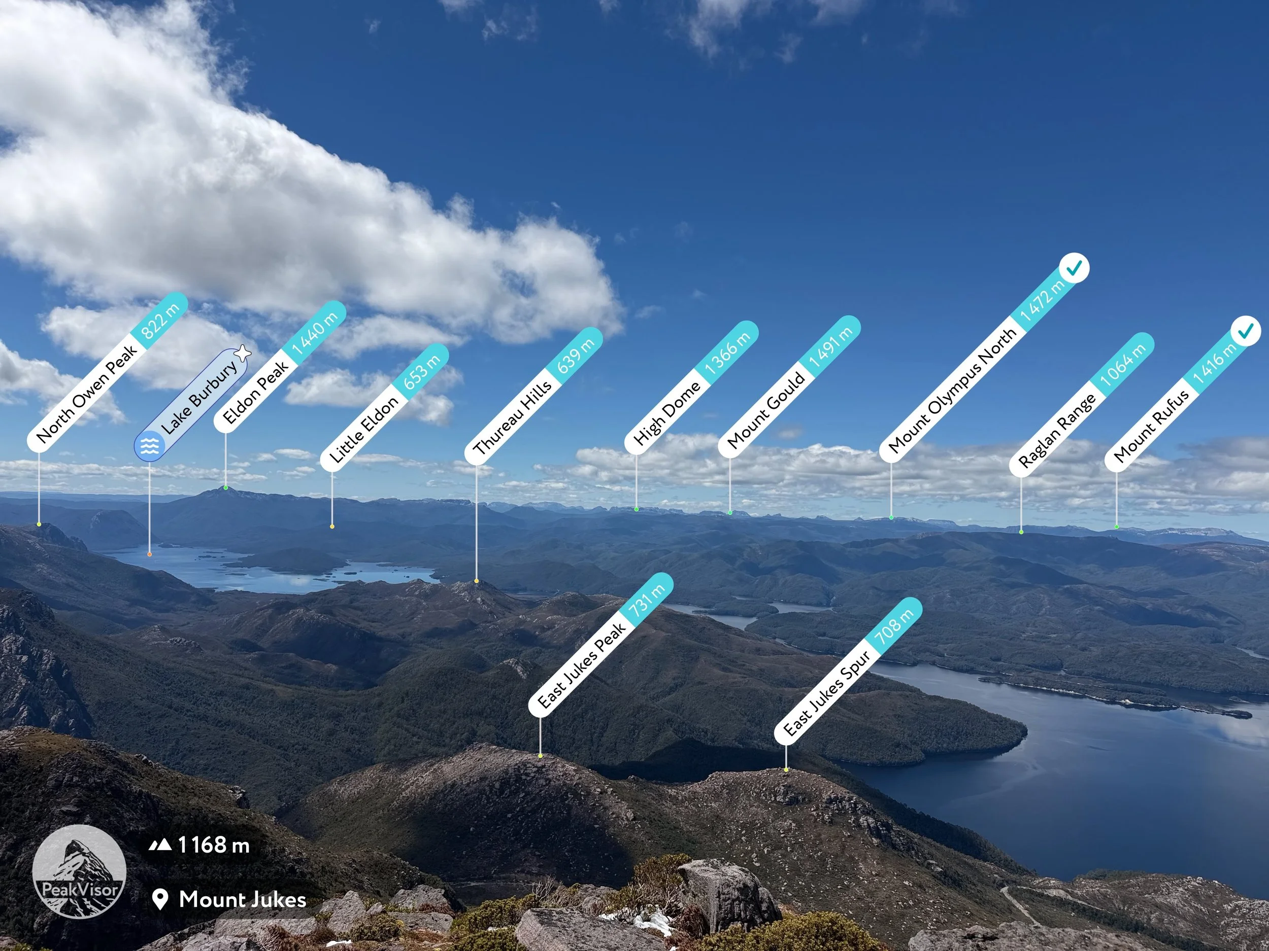
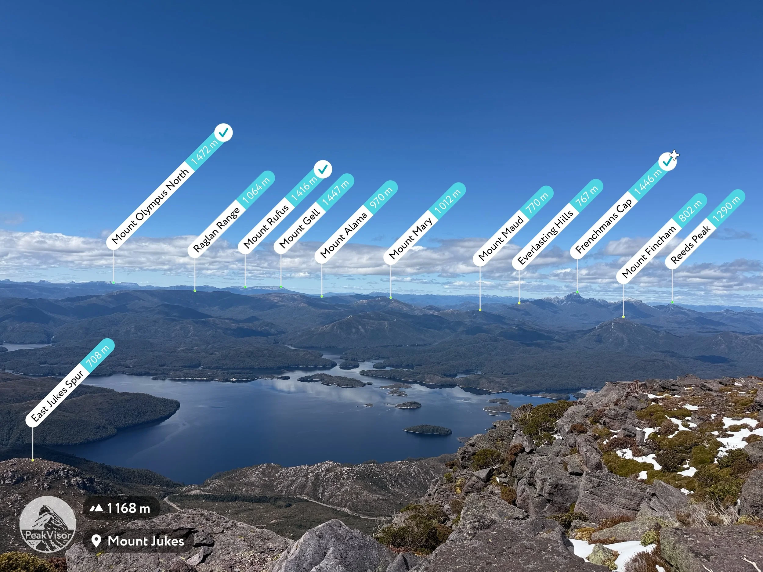
After taking in the views, it wasn’t long until I started my descent, being slightly concerned that the walk had taken me longer than I had originally forecast. The mid-hike ridge line traverse was not as intimidating on the return, and after crossing it, I was able to follow a marked route all the way to the road, although on the lower slops this was on a pad through thick scrub/bush and occasionally immediately on top of the creek. There were a couple of occasions where I briefly lost the route, but was able to re-find it without too much difficulty.
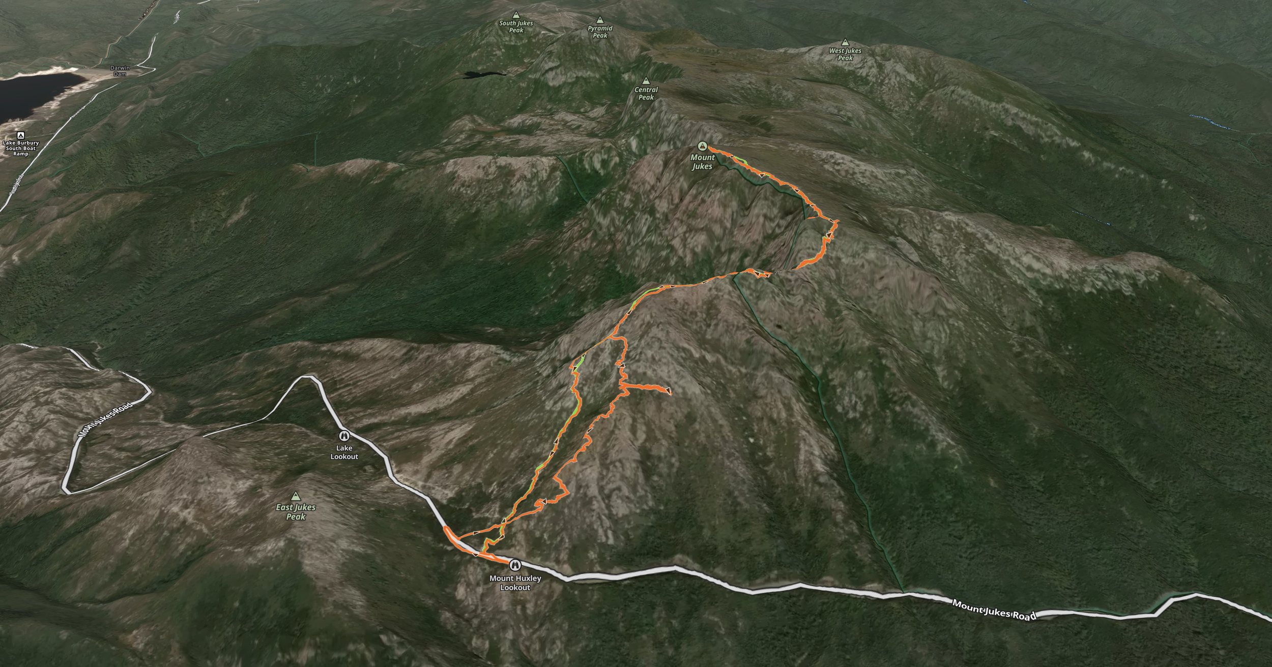

My route (orange) vs the AllTrails route (green).
In hindsight, I’m not sure which route I’d recommend. While the route I took up was not a marked one, it was through more open ground, which perhaps offered easier walking and better views. However, the AllTrails route is marked all the way, providing more certainty of going in the right direction, and may perhaps be faster because of this, despite being through thicker bush/scrub.