
Warning: The plateau traverse is very untracked. It should not be undertaken without sufficient navigational aids.
Introduction
What I’d expected to be a relatively straightforward walk to the summit of Mount Mawson, and across the Mawson Plateau in Mount Field National Park, turned into a rather more challenging navigation exercise. Although the terrain was not particularly difficult, much of the route across the plateau was completely untracked, with few markers and limited visibility due to low cloud. It was a good reminder of the importance of properly researching a walk before setting out!
I’d found the Mawson Plateau Traverse on AllTrails and, given its location within Mount Field National Park, assumed it would be a reasonably straightforward walk. So on Saturday the 21st of November 2026, I set out to knock it over in the afternoon, following some early morning rain. What I hadn’t paid sufficient attention to was the fact that the route shown on AllTrails wasn’t actually marked as a walking track on the map. As I would discover, that was a fairly significant oversight!
Setting Out
I’d originally intended to start the walk earlier in the day, but it had been raining in Hobart during the morning, so I delayed my departure in the hope that the weather would improve. By the time I arrived at the start of the walk at Wombat Moor on Lake Dobson Road, it was just after 2 pm, somewhat later than I’d intended.
The weather wasn’t particularly encouraging. There was plenty of low cloud around the mountains, the sky was grey and threatening rain, and there were some reasonably strong gusts of wind. I did wonder whether setting out was a good idea, but the weather seemed to be holding, so I decided to continue.
It was also considerably cooler than Hobart, where the temperature had been around 25°C. Up here it was closer to 17°C, which was actually quite pleasant for walking.
I started along the Lake Belcher Track, which is signposted as a five-hour return walk. The initial section follows a timber boardwalk across open alpine moorland, surrounded by low shrubs, pineapple grass and other alpine vegetation. The boardwalk only lasts for a few hundred metres before giving way to a conventional walking track.
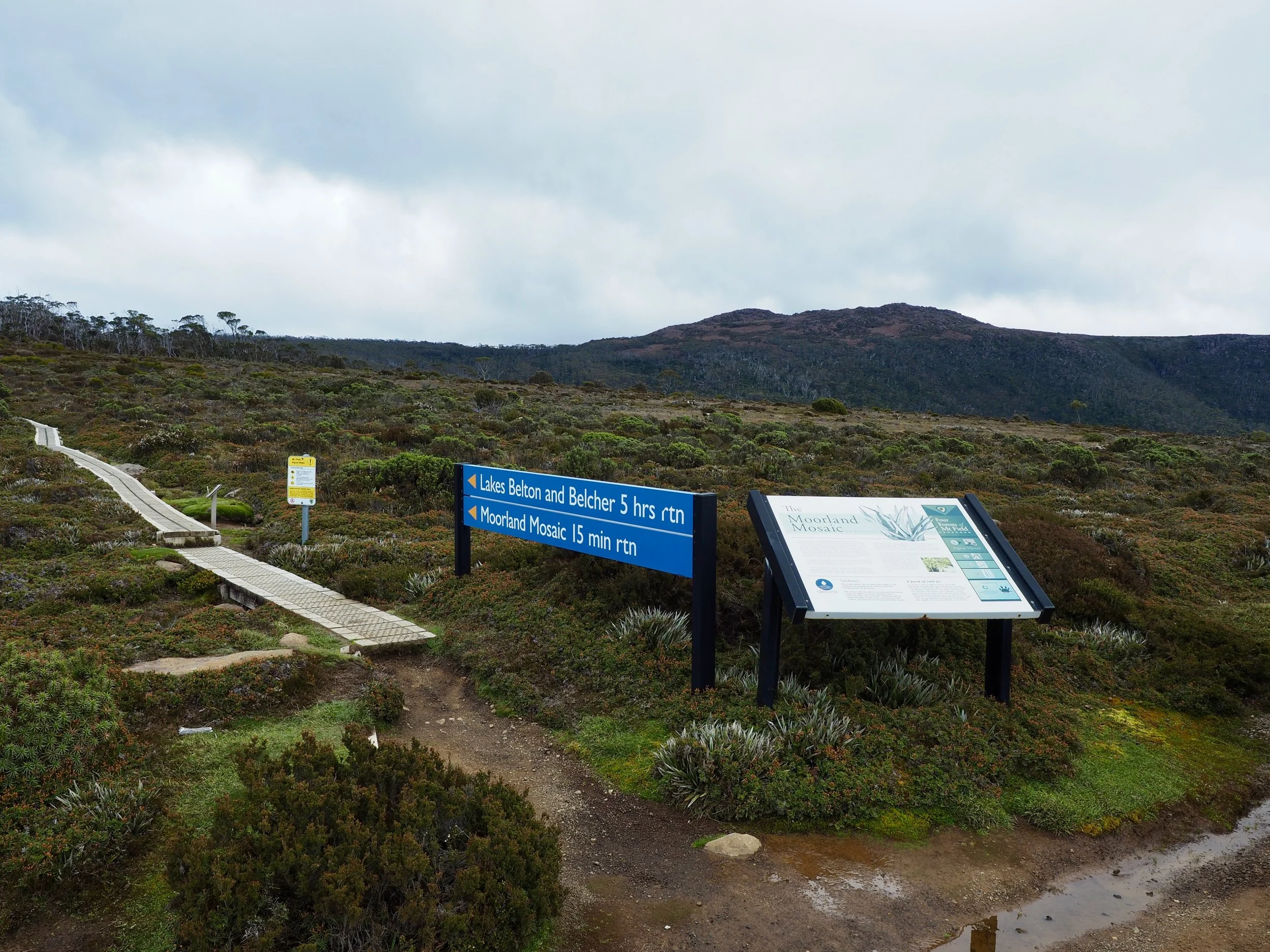
There were quite a few braided sections along the track, with numerous small signs marked with crosses indicating routes that walkers should avoid. Presumably, these were intended to allow damaged vegetation to regenerate. In places, the alternative pads were so close together that it wasn’t always immediately obvious which was the intended route.
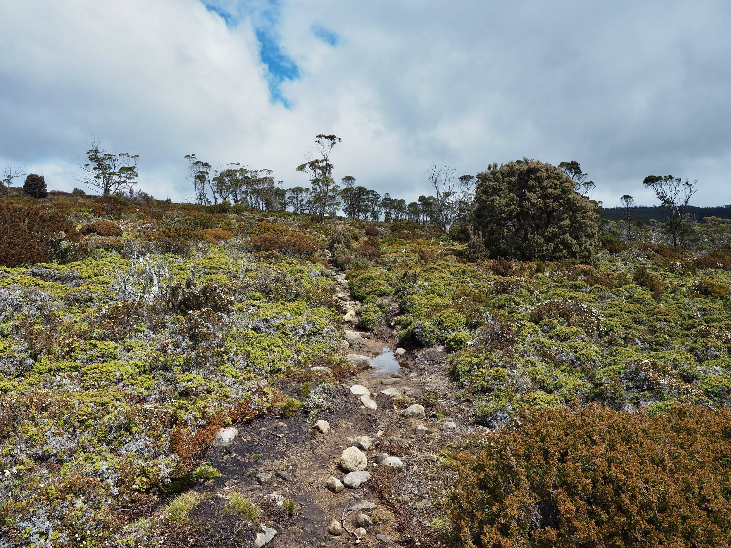
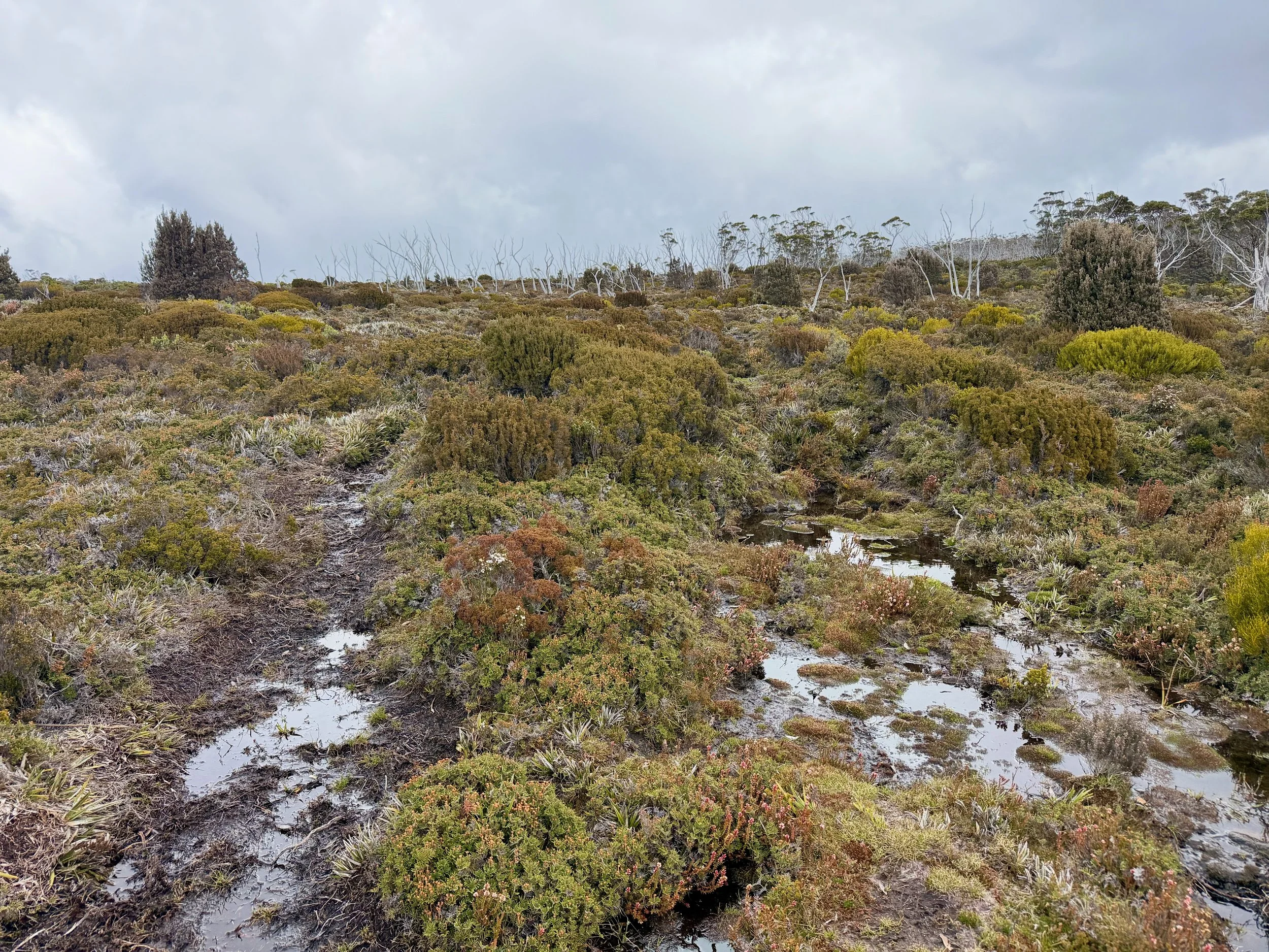
The track was also quite wet, with numerous muddy and boggy sections. Fortunately, there were plenty of rocks that could be used as stepping stones, allowing me to avoid most of the mud.
The terrain was relatively gentle, with the track gradually climbing across open moorland. At around 1.5 km, the vegetation began to change, with more scoparia and taller shrubs appearing beside the track.
Because I’d expected relatively warm conditions, I’d worn shorts and hadn’t bothered putting on my gaiters, although I had brought them in my pack. Fortunately, the scoparia wasn’t particularly intrusive.
At approximately 1.9 km, I entered an area of snow gums, where the walking conditions improved considerably. The muddy ground gave way to a much drier track, with stones, exposed roots and firm soil.
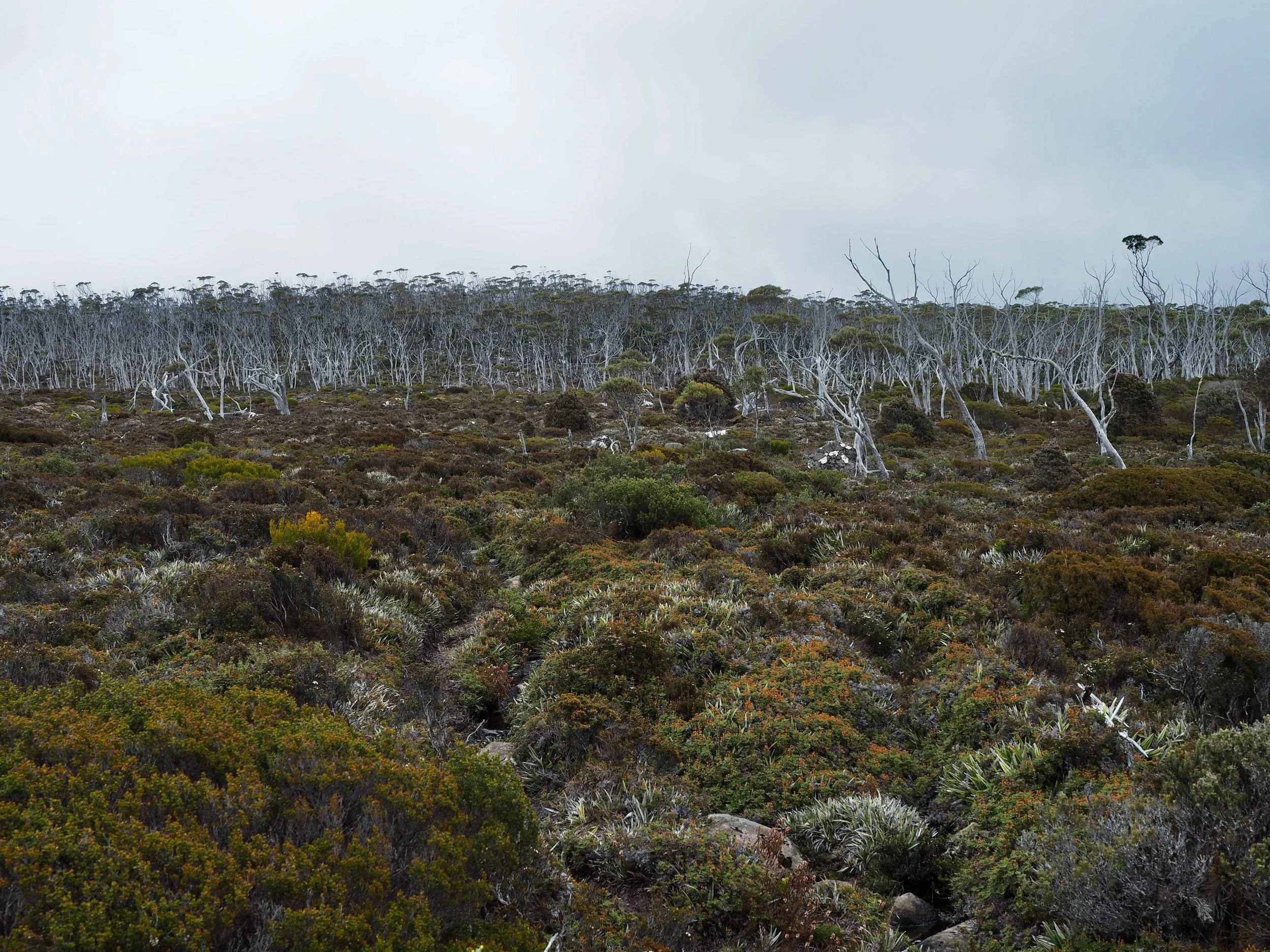
The track continued to climb gently through the trees, and I was making good progress.
Climbing Mount Mawson
At approximately 2.5 km, the AllTrails route indicated that I needed to leave the Lake Belcher Track and head towards Mount Mawson, although there was no obvious junction. I couldn’t immediately see any pad, cairn, or any other indication that there was a route heading towards the mountain. However, the GPS route showed where I needed to go, so I left the main track and began looking for a way through the vegetation.
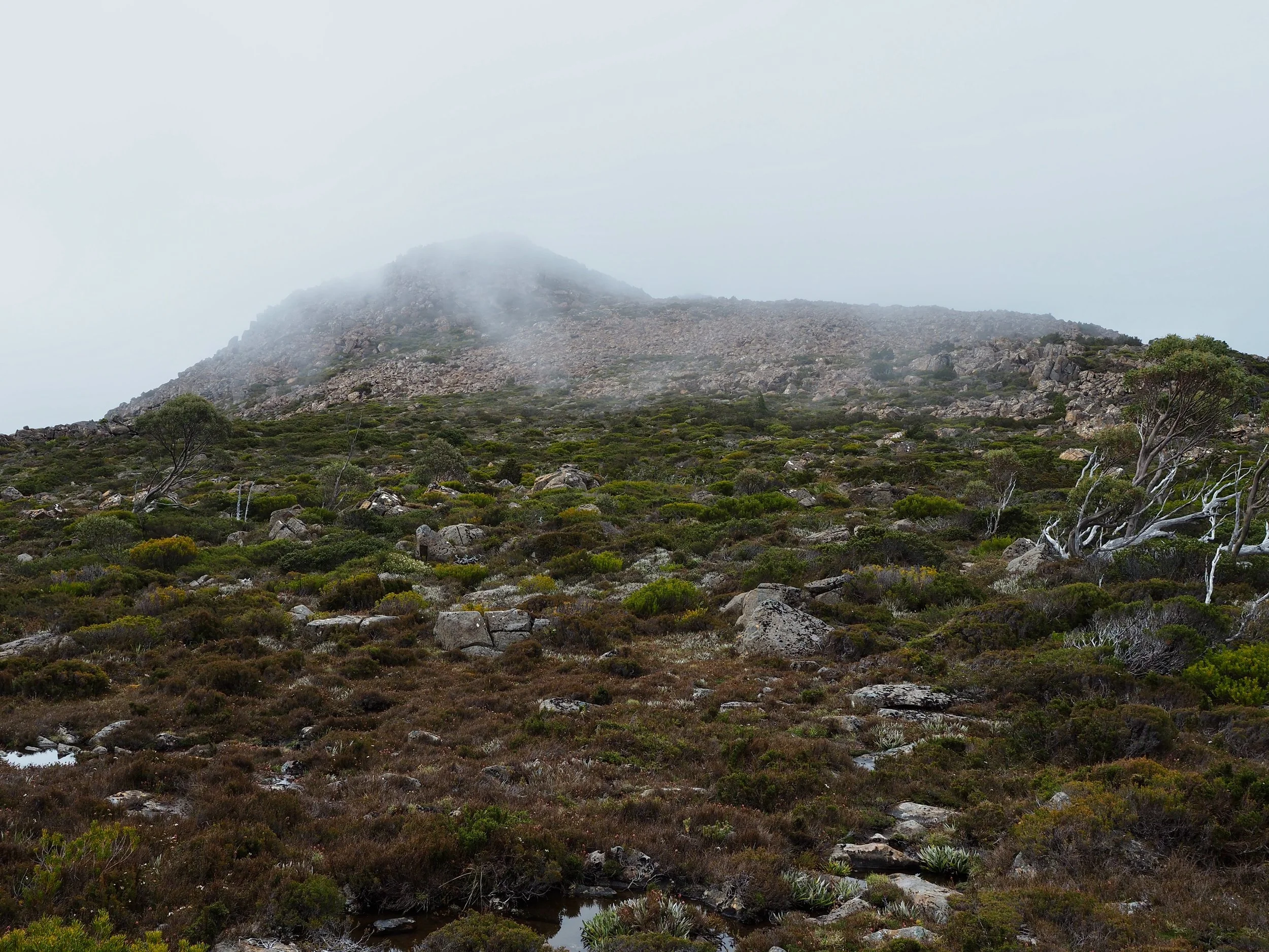
I soon found what appeared to be a faint pad, although it was difficult to tell whether it had been created by walkers or animals. In places, it disappeared altogether. After continuing for a short distance, I came across a rock cairn at approximately 2.6 km, which was reassuring.
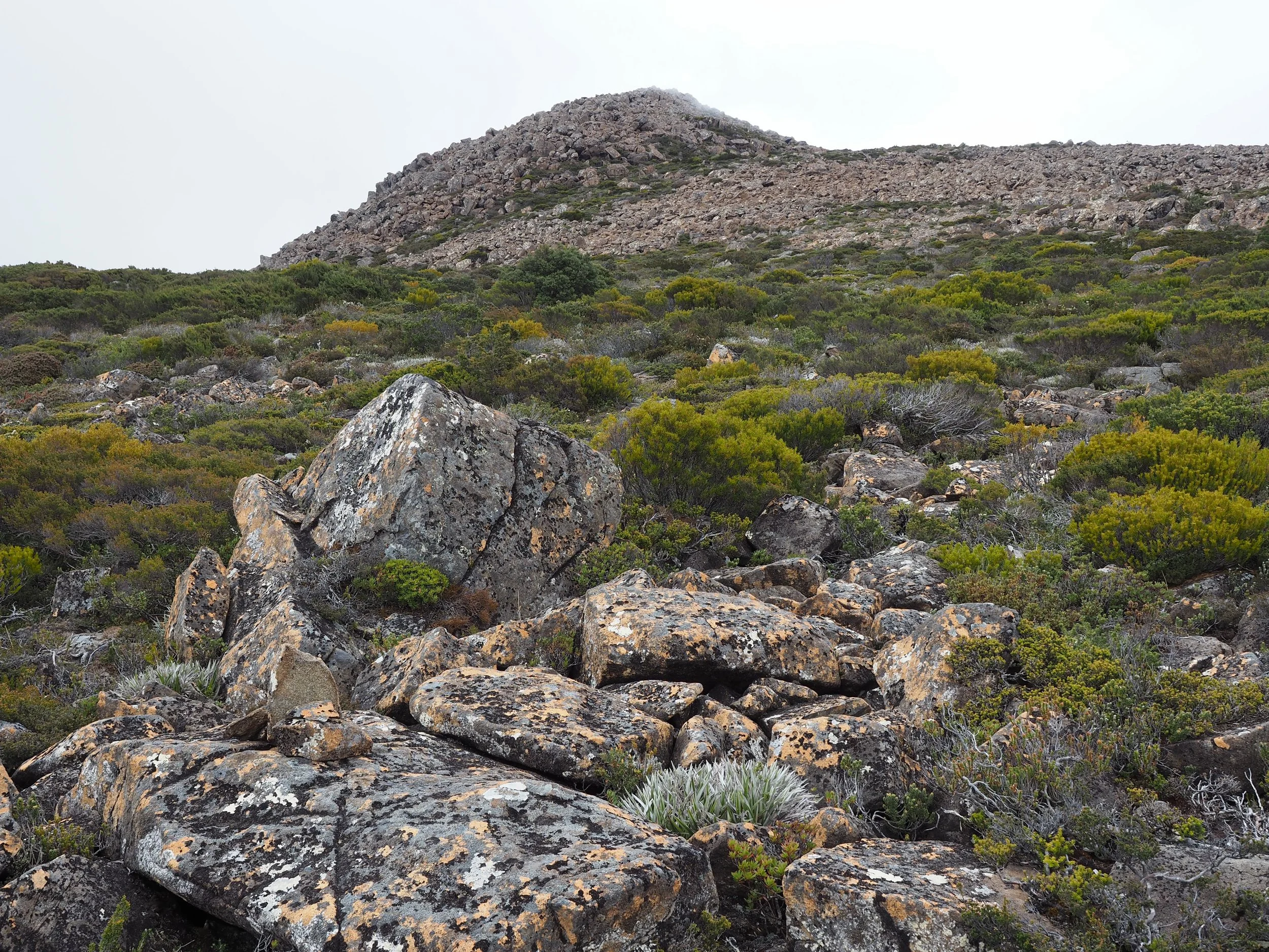
There were a few more cairns as I approached the rocky slopes of Mount Mawson, although they were rather intermittent.
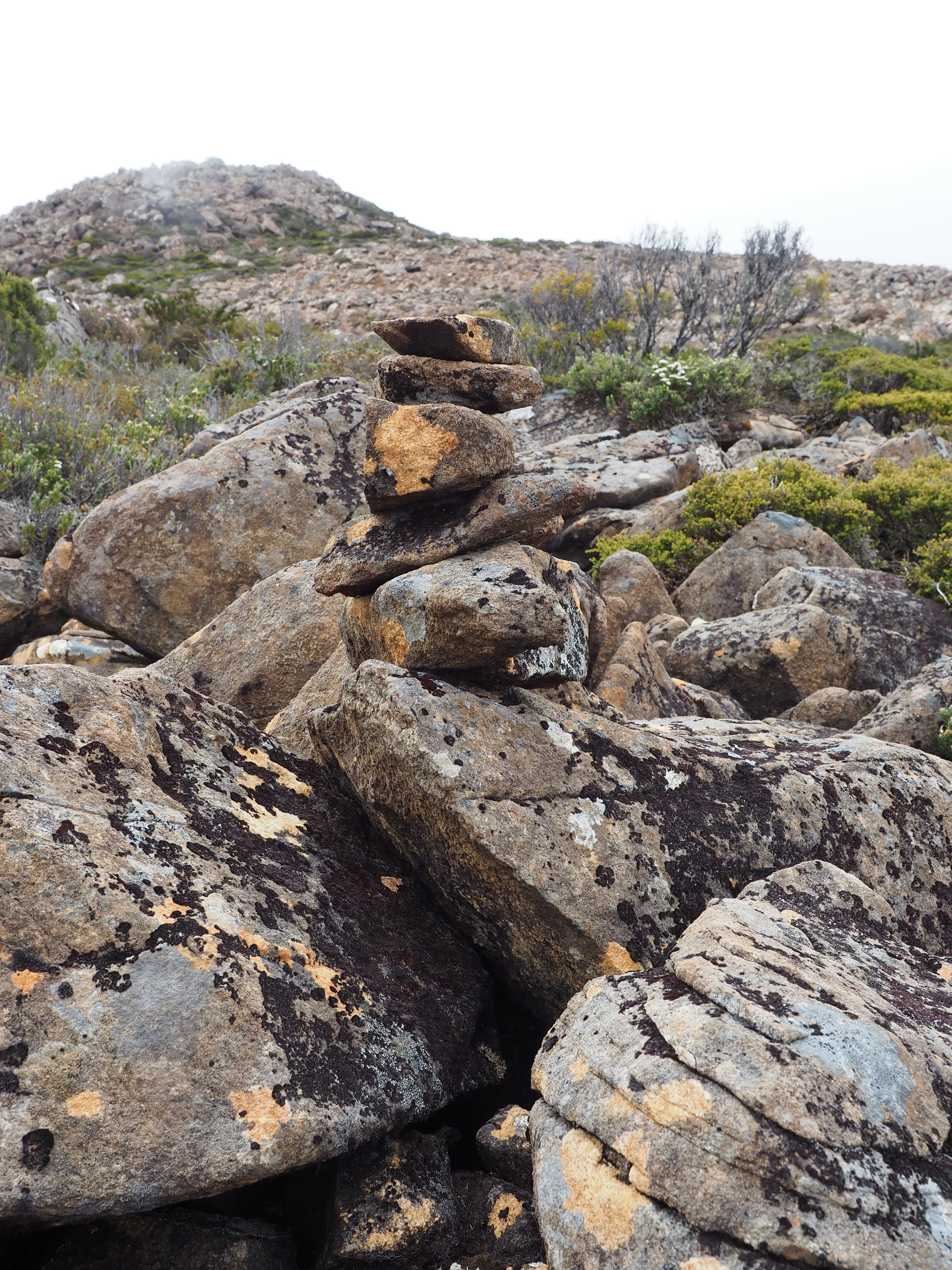
By approximately 2.8 km, I was at the base of the main scree field. The terrain was becoming increasingly rocky, with patches of low alpine vegetation between the boulders. Rather than following a defined track, I was picking my way across the rocks, looking for occasional cairns to confirm that I was heading in the right direction.
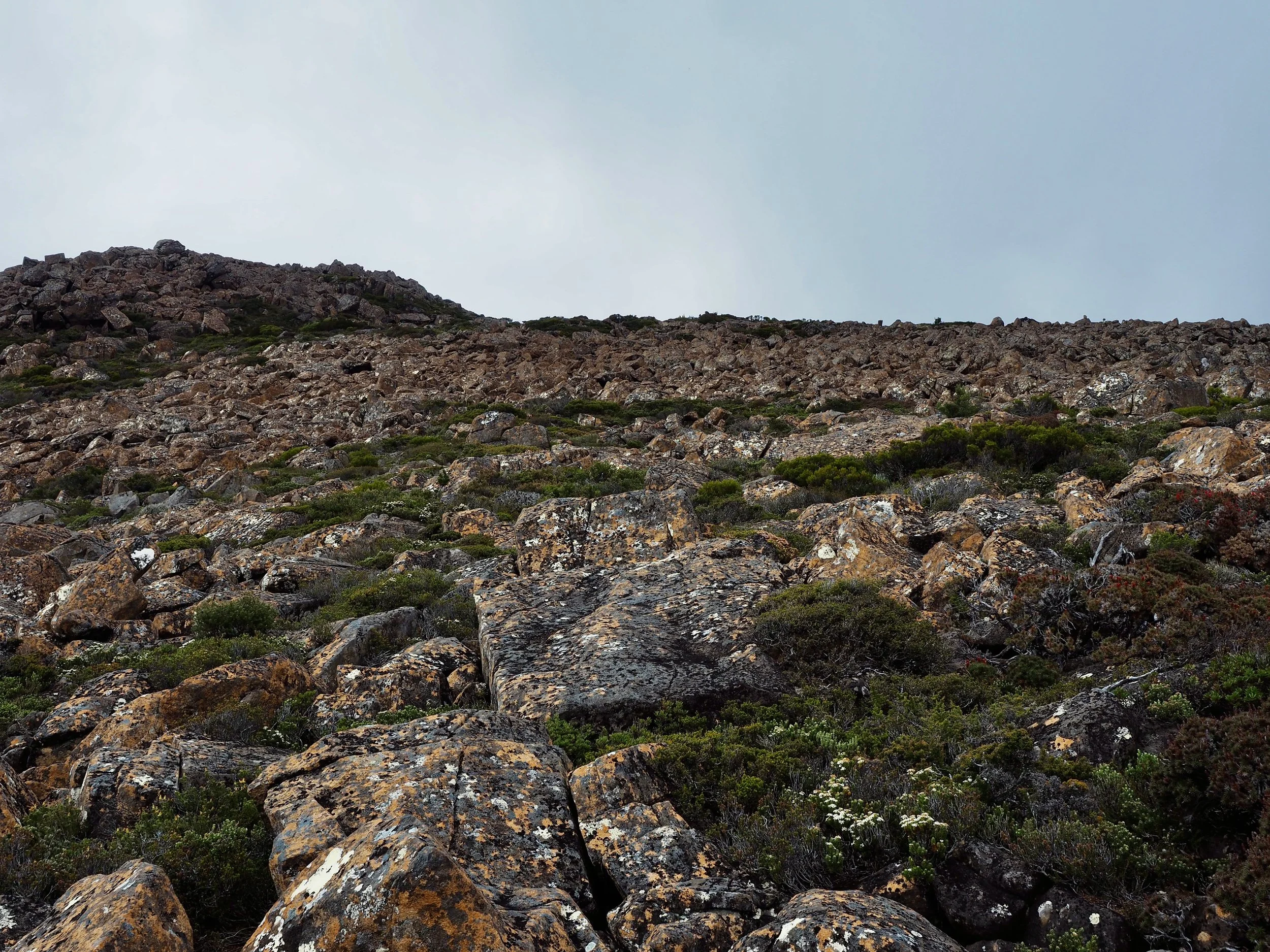
After crossing the main scree field, I entered another area of low vegetation where the route again became difficult to identify. I continued following the GPS track until I eventually emerged onto another rocky section and found a cairn. I initially thought the route might turn left up a worn gully, but while looking around, I spotted what appeared to be another cairn further ahead. I continued towards it and, fortunately, it turned out to be a cairn.
At approximately 3.5 km, I reached what appeared to be the junction between the route across the Mawson Plateau and the climb to the summit of Mount Mawson. The route towards the summit headed off to my left.
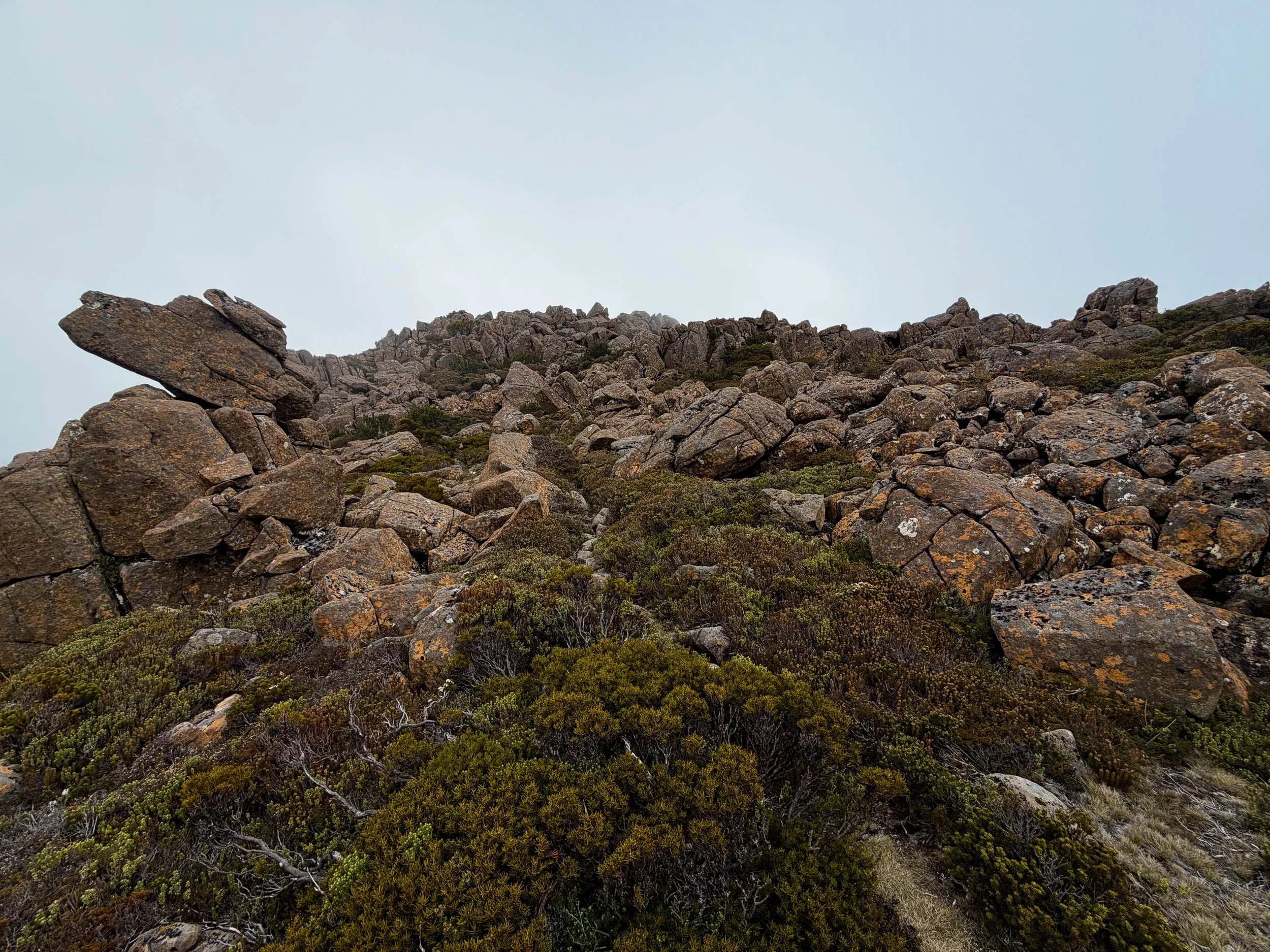
Initially, there was a reasonably obvious pad, with occasional cairns marking the way. However, as I approached the summit, the terrain became increasingly rocky and the pad disappeared amongst the boulders. The final section involved some scrambling over and between large rocks. Although there was no particularly difficult climbing, it was necessary to pick a route through the boulders, with little indication of where previous walkers had gone.
I reached the summit at 3:40 pm, approximately an hour and a half after setting out. There appeared to have once been a summit cairn, although it had largely collapsed into a pile of stones (behind me in the photo below).
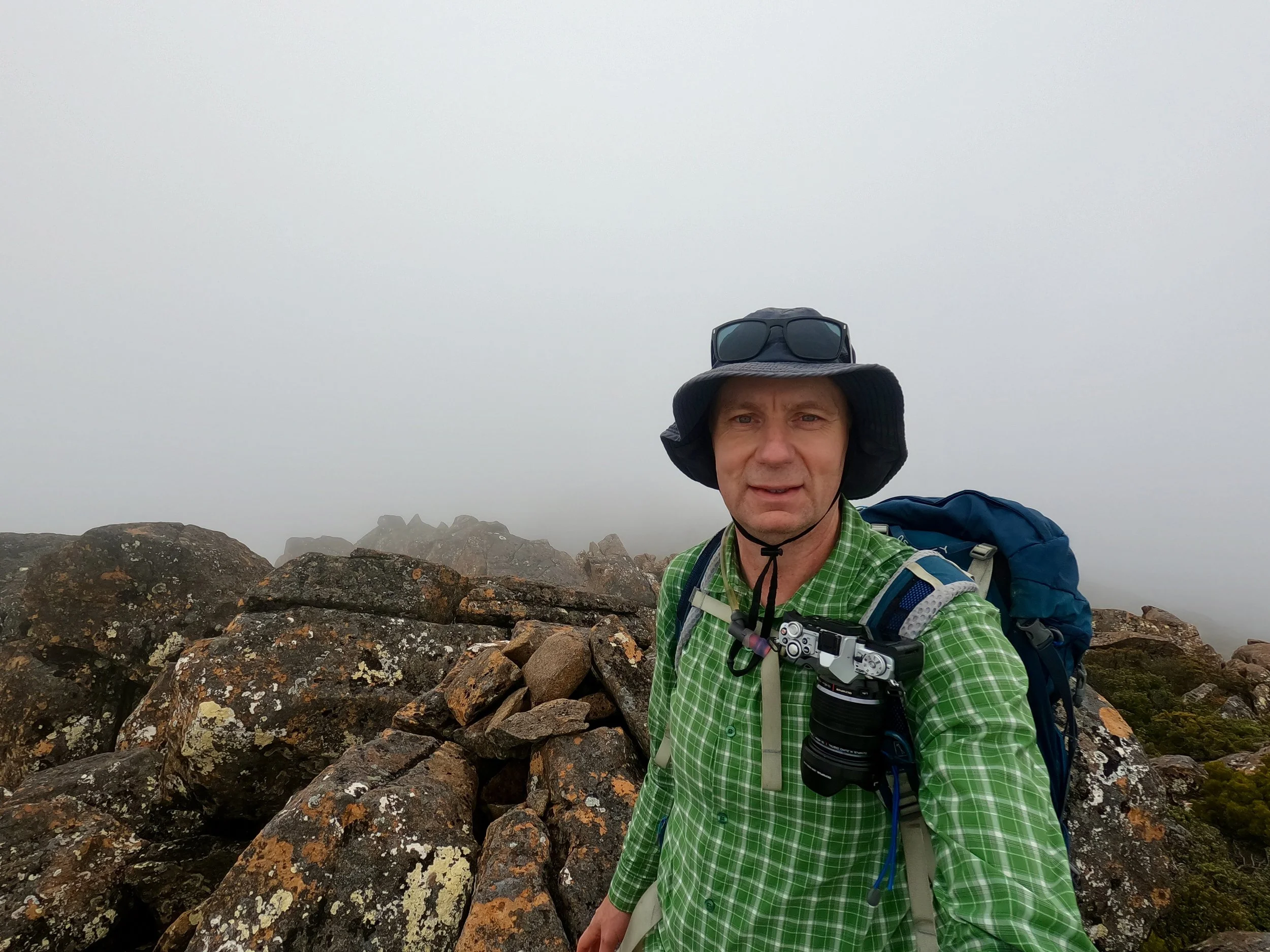
The summit of Mount Mawson consists of a large pile of rocks, with substantial drops on two sides. It was a rather exposed location, particularly in the windy and cloudy conditions I was experiencing.
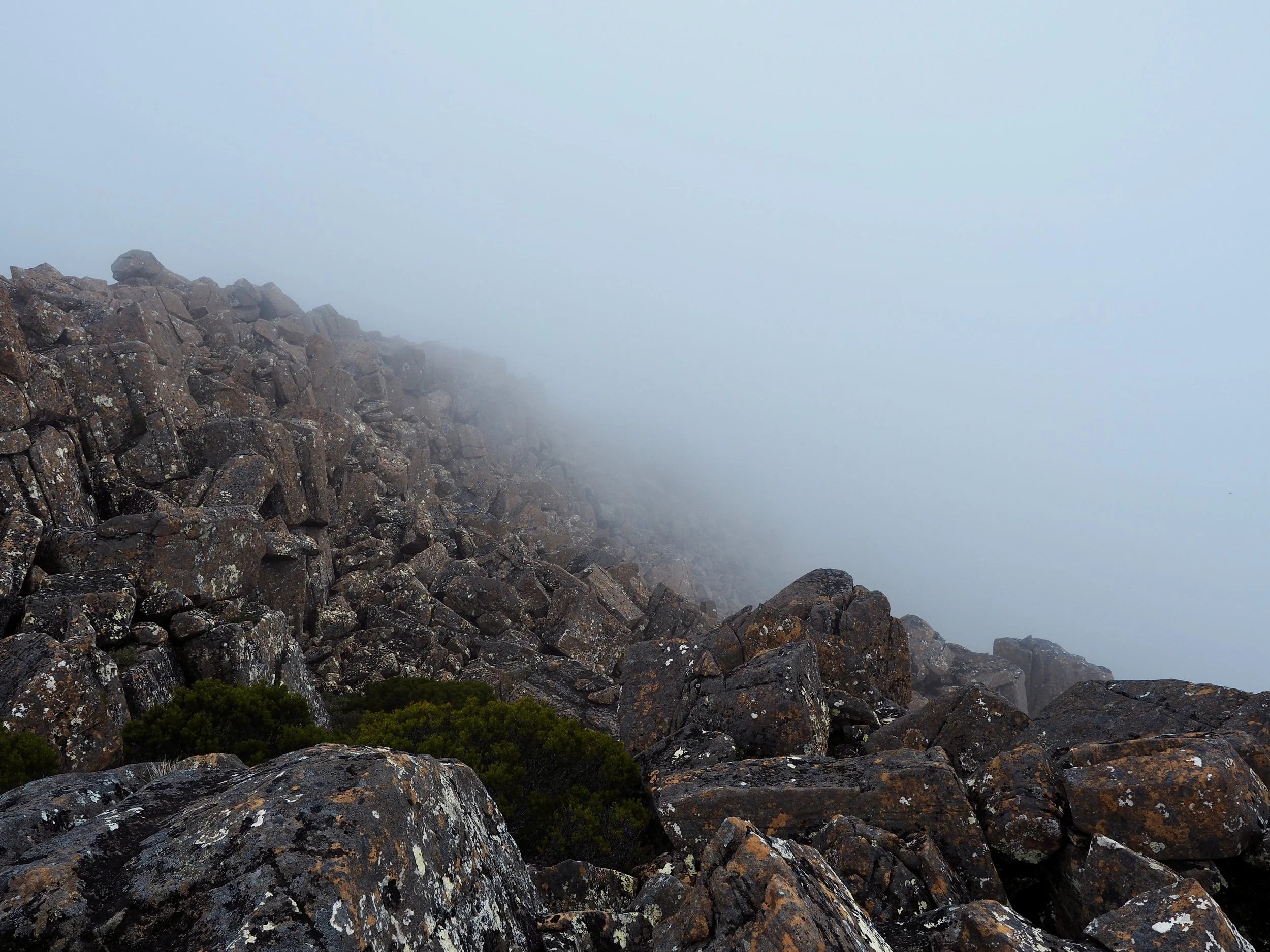
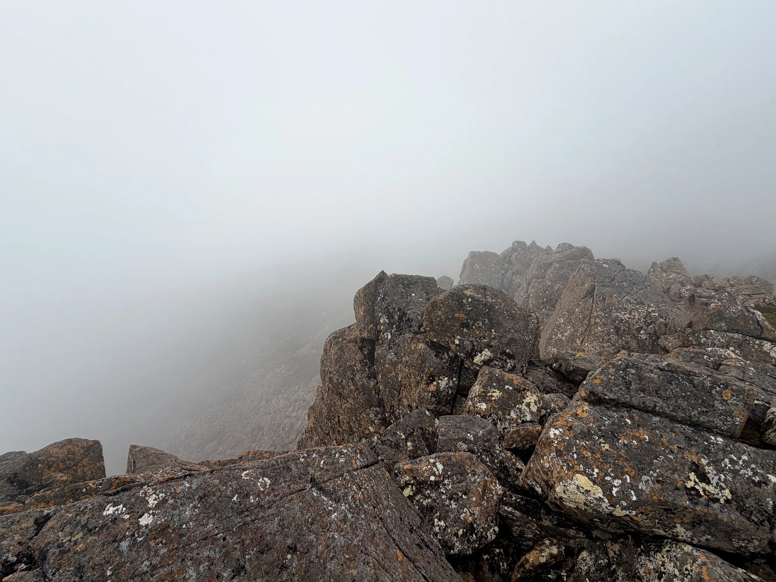
I checked my position against the map on my phone and was satisfied that I’d reached the highest point.
Unfortunately, the low cloud meant there were no views to enjoy. I stopped briefly to take some photographs before beginning my descent. On the way down, I noticed a faint pad heading in a slightly different direction from the route I’d taken up. I followed this for a short distance, but it too disappeared amongst the summit boulders.
After picking my way down through the rocks, I eventually regained the more obvious pad leading back towards the plateau traverse. With Mount Mawson successfully climbed, I continued on what I expected would be the easy part of the circuit.
Across the Mawson Plateau
Initially, the route across the Mawson Plateau was easier to follow than the approach I’d taken after leaving the Lake Belcher Track. There was a reasonably distinct pad, and I wondered whether most people climbing Mount Mawson approached it from the Lake Dobson side rather than via the Lake Belcher Track.
However, the pad soon became less obvious and I soon lost it. I found it again briefly, but the route continued to become increasingly difficult to identify. By 4 pm, approximately 4.2 km into the walk, I’d lost the pad altogether.
There were no cairns, no tape and no other obvious markers indicating where I was supposed to go. For the most part, the terrain across the plateau was actually quite easy to traverse. It consisted largely of low alpine scrub, pineapple grass and scattered rocks, with relatively little vegetation obstructing my progress. The difficulty wasn’t the walking itself. It was working out where I was supposed to go.
I continued following the GPS route on AllTrails, but increasingly found myself wondering whether it represented an established walking route or simply the path another walker had taken across the plateau.
There were sections where I briefly found what appeared to be a pad, only for it to disappear again amongst the rocks or vegetation. As I made my way around the southwestern part of the circuit, the terrain became more complicated. There were larger rocks to negotiate, requiring me to pick my way over and between boulders.
I also lost some elevation before climbing again as the route turned more towards the north. At one point, I appear to have wandered too far west, descending below the higher ground of the plateau. This meant having to climb back up another section of scree to regain the plateau proper.
Although none of this was particularly difficult from a physical perspective, the constant uncertainty about the route was becoming frustrating. With the low cloud, I had limited visibility and no landmarks to guide me. In places, I could only see a few hundred metres ahead. I was effectively navigating by following the GPS route toon my phone, rather than following a track.
Finding Another Route
By approximately 4:15 pm, I was becoming increasingly doubtful about the route I was following. I wasn’t lost in the conventional sense. I knew where I was, and the AllTrails app continued to show my position relative to the downloaded GPS route. However, I had no confidence that the route represented an actual walking track.
I was also very conscious that I was relying entirely on my phone for navigation. If the phone stopped working, I would have been in considerable difficulty.
Although I had a compass on my Apple Watch and another on my Garmin inReach, I hadn’t brought a paper map and hadn’t properly studied the surrounding terrain before setting out. Consequently, I didn’t have a good understanding of the bearings or landmarks I could use to navigate off the plateau without the phone.
Fortunately, I had mobile reception. I remembered having previously seen a blog post about Mount Mawson on Hiking South East Tasmania, so I downloaded the GPX track from that walk. Comparing the two routes, it appeared that the Hiking South East Tasmania route might follow a more deliberate path across the plateau?
I changed course to join it. At approximately 4:18 pm, and 4.8 km into the walk, I reached what appeared to be a faint pad close to the route shown on the newly downloaded GPX track. Although it was still far from being an obvious walking track, it gave me a little more confidence that I was heading in the right direction. I continued following this route around the plateau, eventually climbing back onto the higher ground.
By approximately 4:50 pm, I had covered almost 6 km. At this point, I realised that I’d become so preoccupied with navigation that I hadn’t been taking photographs. That was rather disappointing, particularly given the interesting terrain I’d been crossing, but finding my way off the plateau had become my priority.
The conditions were also continuing to deteriorate, with cloud obscuring much of the surrounding landscape. I was beginning to feel rather foolish about how little preparation I’d done for the walk. I’d assumed that because Mount Field was a popular tourist destination, the walk would be straightforward. In reality, I was undertaking a serious off-track walk, alone, in poor visibility, without adequate backup navigation.
Finding the Ski Field
At approximately 6 km, I came across something that was particularly encouraging. There were two metal track markers mounted on star pickets, along with several pieces of timber bearing reflective tape.
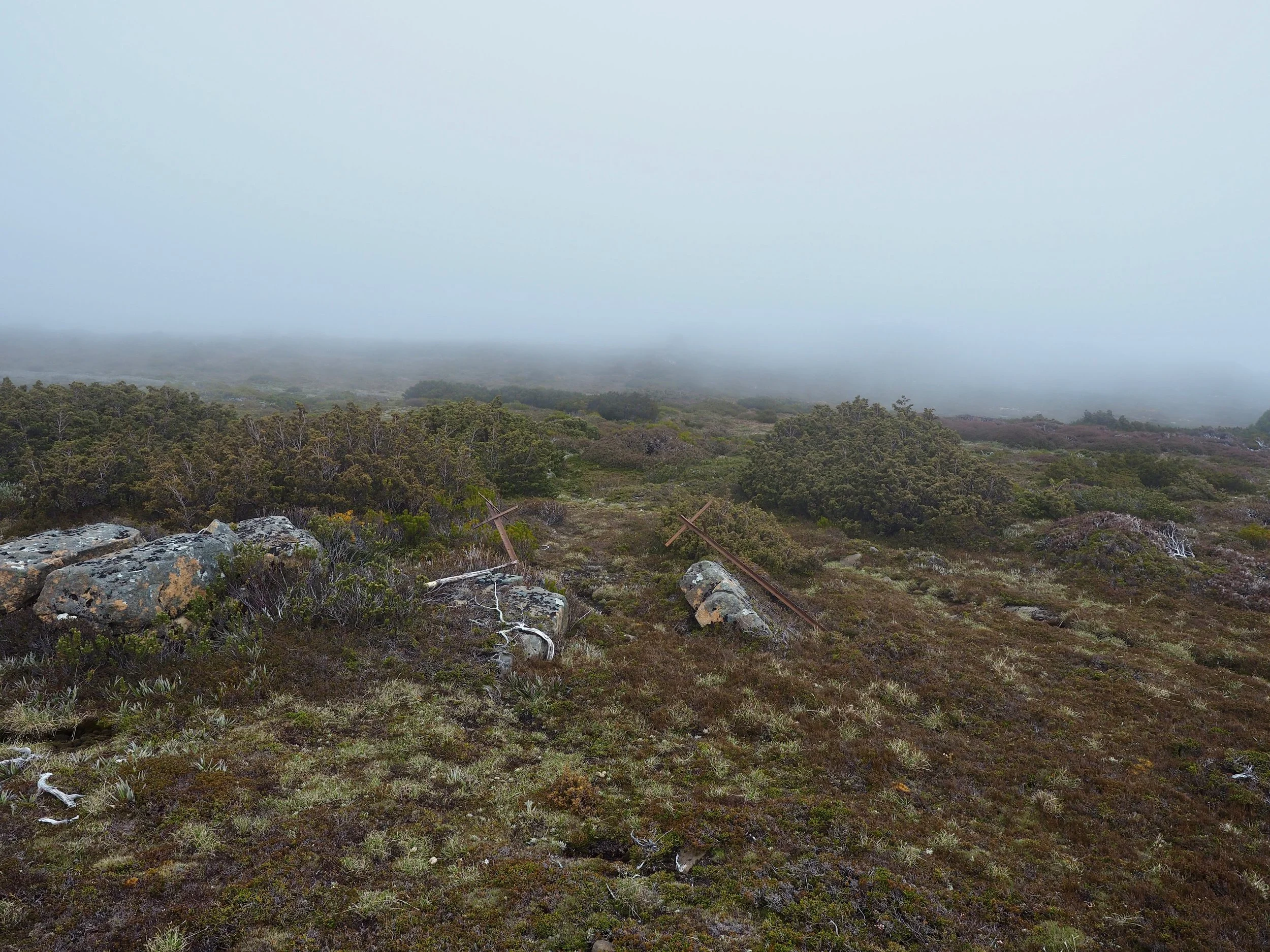
There also appeared to be a faint pad continuing in the direction I was heading. I wondered whether I’d found an old marked route across the plateau.
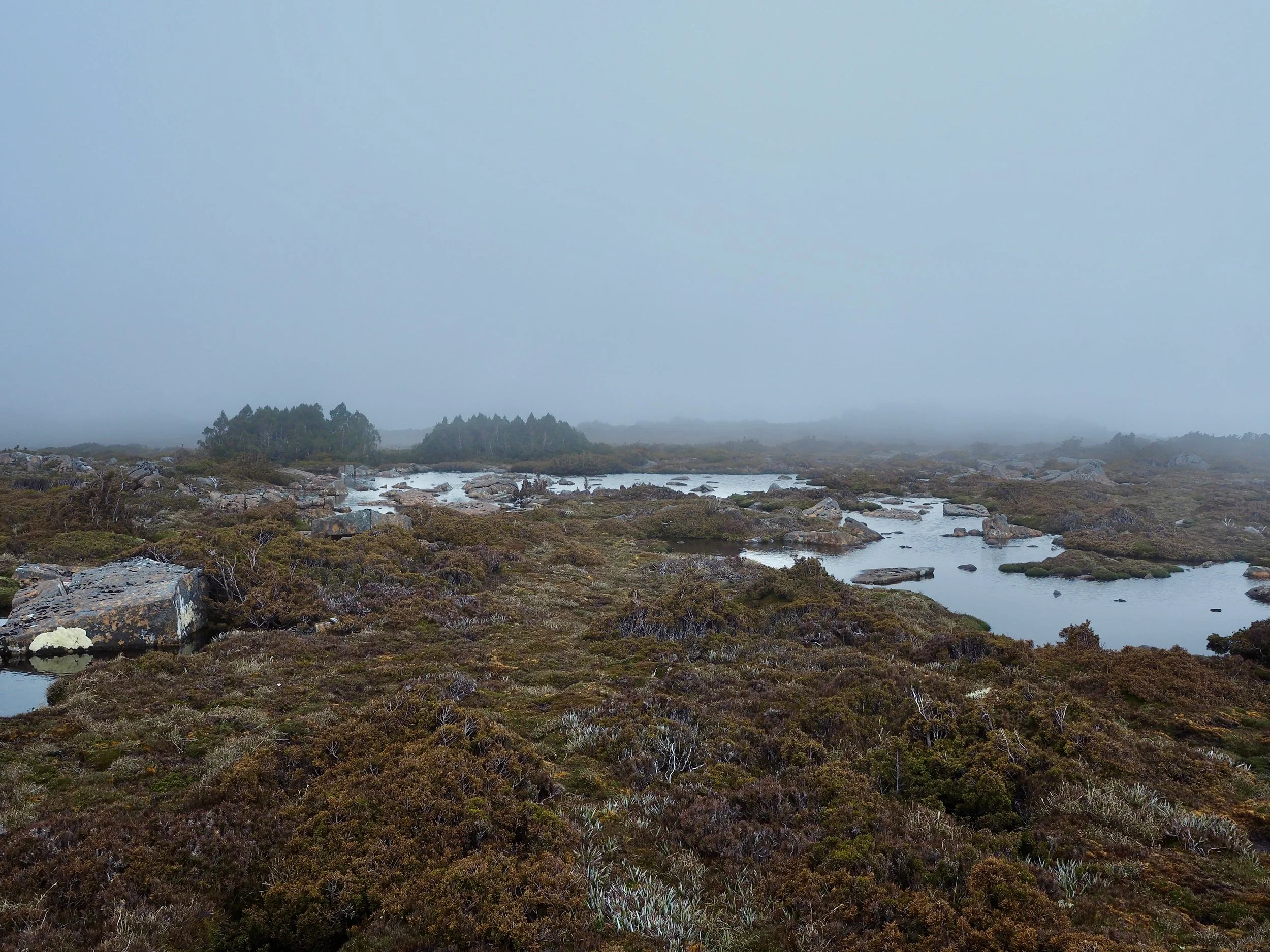
Although the markers didn’t establish a continuous track, they were reassuring evidence that other people had travelled through the area. A short distance further on, at approximately 6.4 km, I spotted a tower ahead. I hoped it was associated with the Mount Mawson ski field.
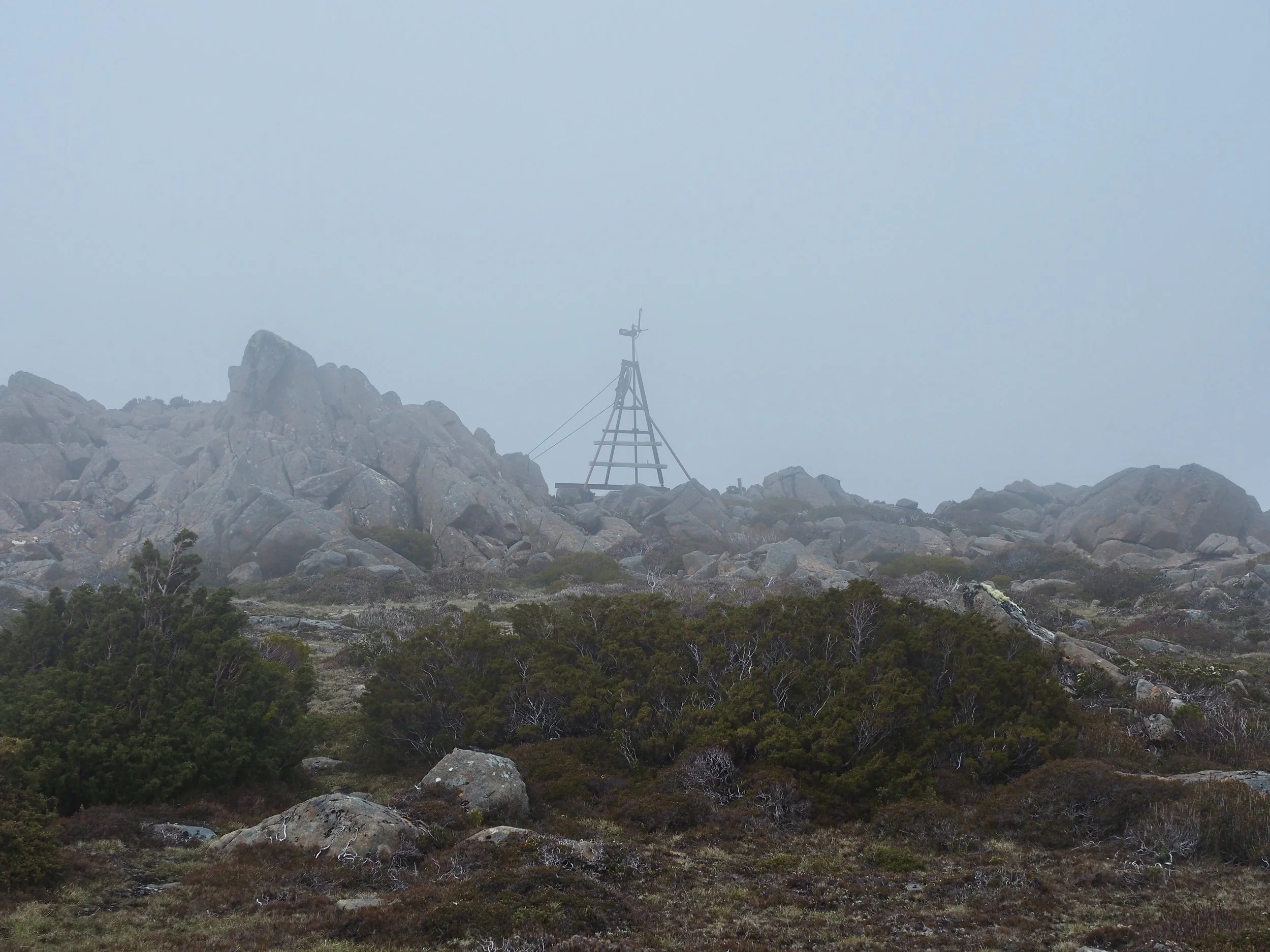
As I approached, I began to see more evidence of the ski infrastructure, including large upright markers and a fence. Once I reached the fence and looked down the slope, I could see that the tow line led directly towards the ski club buildings. This was a considerable relief.
I now had a clear landmark and a straightforward route down from the plateau. I followed the ski tow line downhill towards the buildings, reaching the road at approximately 5:11 pm. By this point, I’d walked just under 7 km.
Returning via Lake Dobson
From the ski field buildings, I could see Lake Dobson and the car park below.
Both the AllTrails and Hiking South East Tasmania routes indicated a descent through the vegetation to the south of my position (apparently the Golden Stairs track, which was not marked on my map). However, looking towards that area, I couldn’t identify an obvious track. The hillside appeared heavily wooded, and I wasn’t particularly enthusiastic about undertaking another off-track section through the scrub.
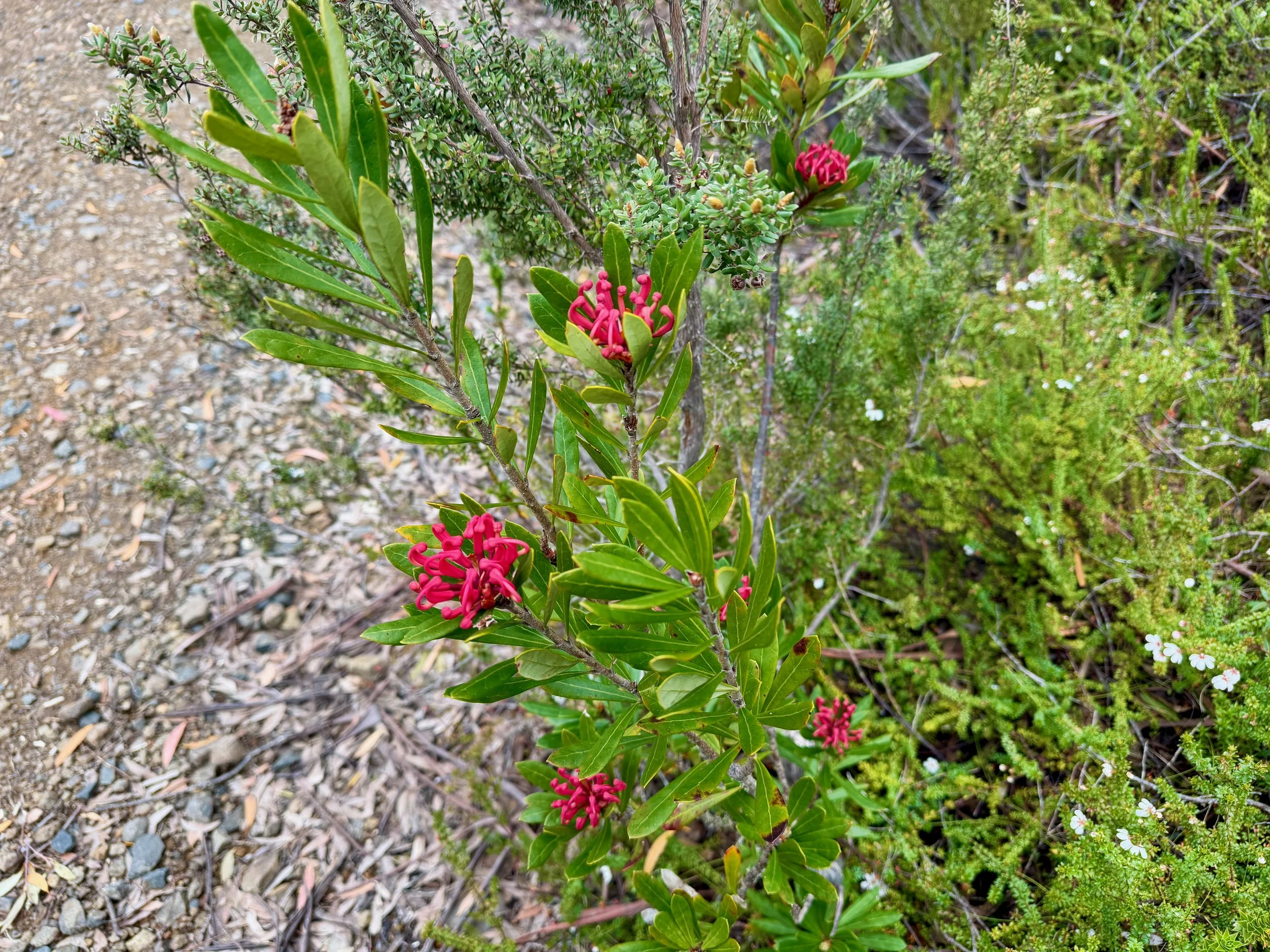
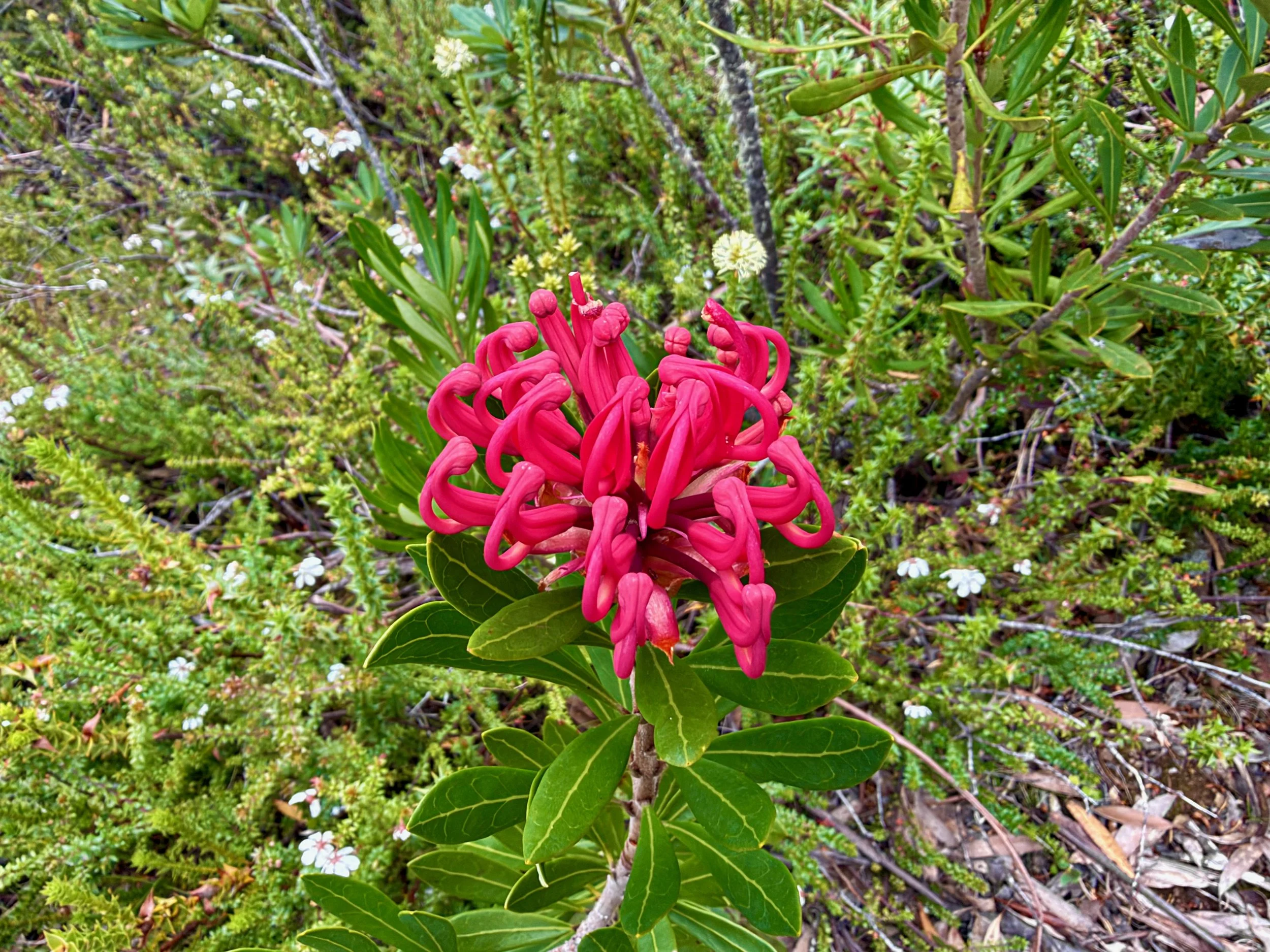
Given the navigation difficulties I’d already encountered, I decided that the safest option was to follow the road downhill, which would also be faster. The road descended through the ski field area towards Lake Dobson. There were numerous waratahs growing beside the road, many of them in flower, which made for a nice finish on the return journey.
At a bend in the road, I came to the signposted Urquhart Track, leading towards the Lake Dobson car park. Descending through stands of pandani, I reached the lakeside walking track. I was quite happy with my decision to take the road.
From here I turned towards the car park and continued along the lakeside track. I reached the Lake Dobson car park at approximately 5:36 pm, before following the road back towards my car. After the uncertainty of the previous hour or so, it was reassuring to be back on familiar, clearly defined tracks and roads.
I eventually returned to my car just before 6 pm, having walked approximately 10.4 km over almost four hours.
Reflections on the Walk
Mount Mawson and the Mawson Plateau turned out to be a much more challenging walk than I’d anticipated, because I had under-prepared.
The initial walk along the Lake Belcher Track was relatively straightforward, although quite muddy in places. The climb to Mount Mawson was more challenging, with intermittent cairns and a poorly defined route across the scree and boulders, but still straightforward with a clear view of the mountain ahead. However, it was the traverse of the plateau that caused the greatest difficulties.
Although the terrain was generally easy to walk across, there were extended sections without any discernible track, cairns, tape or other markers. The combination of low cloud and the absence of obvious landmarks made navigation particularly difficult.
While my phone let me establish my position against the downloaded route, I was uncomfortable with how dependent I had become on that single device. I hadn’t properly researched the walk, and I’d made assumptions about the nature of the route based on its location within Mount Field National Park.
In hindsight, I should have recognised that a GPS route shown on AllTrails doesn’t necessarily indicate the presence of a track or marked route.
I’ve done plenty of off-track walking in Tasmania, but much of that has involved following routes marked with tape or rock cairns, even where there is no obvious walking pad. This was quite different. Once I left the summit of Mount Mawson, there were extended sections where I had no markers or pad to follow.
I was also walking by myself, which meant I didn’t have another person carrying a second navigation device. Had I been walking with Col, for example, we would at least have had another phone available if mine failed.
I had my Garmin inReach and a PLB, along with a battery pack and charging cables, but none of those would have solved the problem of a complete phone failure or loss, unless I’d prepared an alternative means of navigation.
That possibility wasn’t entirely hypothetical. In December last year, my relatively new iPhone suddenly stopped working and wouldn’t restart. It was eventually replaced under warranty, but the experience demonstrated that electronic devices can fail without warning.
While waiting for the replacement, I’d purchased a cheap Android phone to get me through the intervening period. I still have that phone, and I’m now considering charging it up, installing some offline maps and carrying it in the dry bag in my pack as a backup navigation device. Of course, carrying a paper map and compass would also be sensible.
More importantly, I need to make sure I properly research the routes I’m planning to walk, particularly where they involve off-track navigation.
Despite the difficulties, I’m pleased to have climbed Mount Mawson and completed the traverse. It was an interesting walk through some beautiful alpine terrain, and the summit and plateau are certainly worth visiting. However, I wouldn’t recommend attempting the full traverse without good navigation skills, reliable offline mapping, and a backup means of navigation.
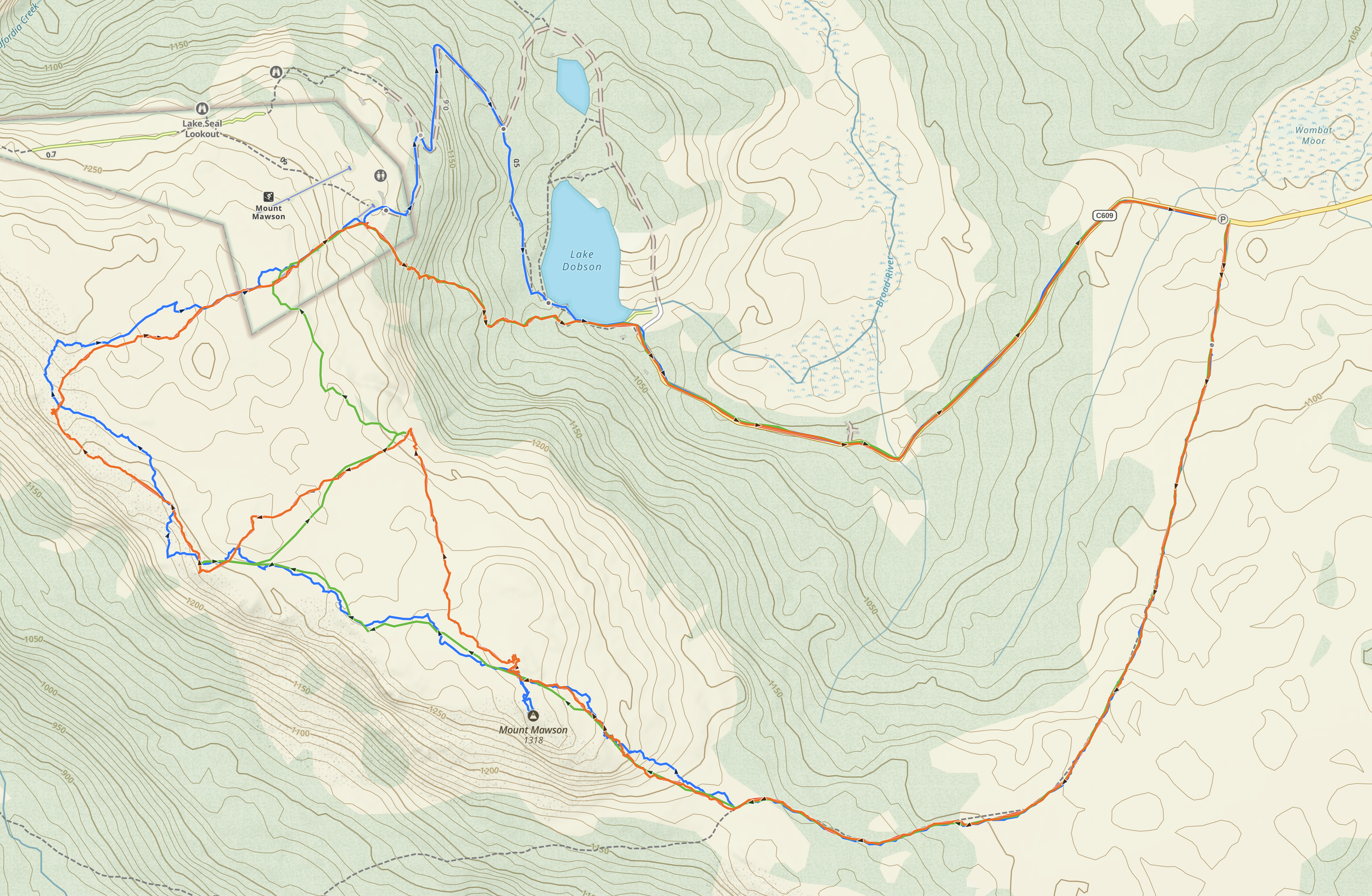
My route (blue), AllTrails (green), and Hiking South East Tasmania (Orange)