
Scotts Peak
Col and I have done a few hikes and paddles around Lake Pedder and the idea of summiting Scotts Peak is one that we’ve spoken about repeatedly. So, with both of us having some time off in November 2024, we finally decided to give it a go.
Location
Scotts Peak is an island and mountain at the southern end of Lake Pedder.

To get there, we drove to Scotts Peak Dam at the southern end of the lake, where we launched our kayaks to paddle to the northwest side of the island.
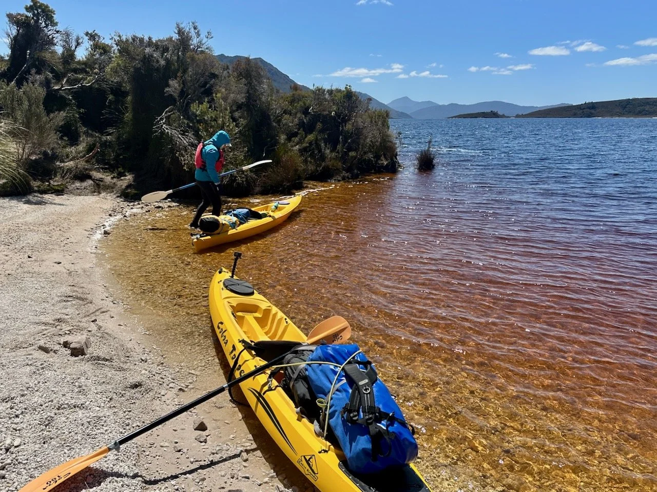


Our landing point was on a little peninsular with a spit between it and the main part of the island. On satellite images, this looked like a good spot for camping, which it was, although we discovered the mid-section of the spit under water when we arrived.
After setting up camp, it was time to make our way up the hill.


The Hike
The route to the summit of Scotts Peak is untracked, but fortunately another walker I know online had recently done it, and we were able to follow their route, which goes straight up a ridge line starting from where we were camped.


The views from the top were amazing, with mountains surrounding us on all sides.


After enjoying the views from the summit, it was time to head back down to camp. We had dinner admiring the view from our campsite and then retired for the night.
The return walk to the summit was about 3km and took us 3 hrs and 45 mins (including our break on the summit), but we were particularly slow as Col was recovering from an arthroscopy on one of his knees.
Epilogue
The following day we had planned to paddle to, and climb, Mt Solitary, the next island to the north. However, the weather forecast showed incoming rain, so instead we decided to leave and head back to Maydena, climbing The Needles as an alternative hike on our way out. Consequently, we will be returning at some stage!